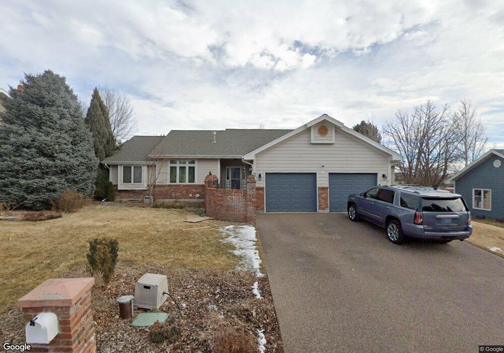
2 Stanford Ct Billings, MT 59102
North Central Billings NeighborhoodEstimated Value: $604,919 - $764,000
5
Beds
3
Baths
3,856
Sq Ft
$170/Sq Ft
Est. Value
About This Home
This home is located at 2 Stanford Ct, Billings, MT 59102 and is currently estimated at $655,480, approximately $169 per square foot. 2 Stanford Ct is a home located in Yellowstone County with nearby schools including Rose Park School, Lewis & Clark Junior High School, and Billings Senior High School.
Ownership History
Date
Name
Owned For
Owner Type
Purchase Details
Closed on
Jun 4, 2010
Sold by
Gratton Scott G and Gratton Kathy C
Bought by
Stevens Nathan R and Stevens May H
Current Estimated Value
Home Financials for this Owner
Home Financials are based on the most recent Mortgage that was taken out on this home.
Original Mortgage
$327,901
Outstanding Balance
$220,621
Interest Rate
5.05%
Mortgage Type
VA
Estimated Equity
$434,859
Purchase Details
Closed on
May 18, 2005
Sold by
Gratton Scott G and Gratton Kathy C
Bought by
Gratton Scott G and Gratton Kathy C
Home Financials for this Owner
Home Financials are based on the most recent Mortgage that was taken out on this home.
Original Mortgage
$259,000
Interest Rate
5.87%
Mortgage Type
New Conventional
Create a Home Valuation Report for This Property
The Home Valuation Report is an in-depth analysis detailing your home's value as well as a comparison with similar homes in the area
Home Values in the Area
Average Home Value in this Area
Purchase History
| Date | Buyer | Sale Price | Title Company |
|---|---|---|---|
| Stevens Nathan R | -- | St | |
| Gratton Scott G | -- | None Available |
Source: Public Records
Mortgage History
| Date | Status | Borrower | Loan Amount |
|---|---|---|---|
| Open | Stevens Nathan R | $327,901 | |
| Previous Owner | Gratton Scott G | $259,000 |
Source: Public Records
Tax History Compared to Growth
Tax History
| Year | Tax Paid | Tax Assessment Tax Assessment Total Assessment is a certain percentage of the fair market value that is determined by local assessors to be the total taxable value of land and additions on the property. | Land | Improvement |
|---|---|---|---|---|
| 2025 | $5,277 | $579,500 | $124,309 | $455,191 |
| 2024 | $5,277 | $548,600 | $119,502 | $429,098 |
| 2023 | $5,277 | $548,600 | $119,502 | $429,098 |
| 2022 | $3,723 | $394,300 | $0 | $0 |
| 2021 | $4,124 | $394,300 | $0 | $0 |
| 2020 | $4,108 | $376,500 | $0 | $0 |
Source: Public Records
Map
Nearby Homes
- 1833 Iris Ln
- 1734 Mariposa Ln
- 1440 Granite Ave
- 56 Shadow Place
- 46 Shadow Place Unit 6B
- 2042 Green Terrace Dr
- 2124 Dahlia Ln
- 24 Heatherwood Ln Unit 12D
- 1745 Parkhill Dr
- 1400 Poly Dr Unit 4D
- 41 Heatherwood Ln
- 1944 Colton Blvd
- 1444 Colton Blvd
- 3226 Country Club Cir
- 1329 Granite Ave
- 1323 Granite Ave
- 1313 Granite Ave
- 2021 Beverly Hill Blvd
- 2206 Green Terrace Dr
- 1436 Parkhill Dr