2 Thresher Way Nantucket, MA 02554
Estimated Value: $2,264,000 - $8,382,011
4
Beds
2
Baths
2,618
Sq Ft
$2,216/Sq Ft
Est. Value
About This Home
This home is located at 2 Thresher Way, Nantucket, MA 02554 and is currently estimated at $5,801,253, approximately $2,215 per square foot. 2 Thresher Way is a home with nearby schools including Nantucket Elementary School, Cyrus Peirce Middle School, and Nantucket High School.
Ownership History
Date
Name
Owned For
Owner Type
Purchase Details
Closed on
Jul 10, 2024
Sold by
Pallotta James J and Pallotta Kimberly S
Bought by
Threshe Hummock Llc
Current Estimated Value
Purchase Details
Closed on
Jul 16, 1999
Sold by
Rogers David S
Bought by
Pallotta James J and Pallotta Kimberly S
Create a Home Valuation Report for This Property
The Home Valuation Report is an in-depth analysis detailing your home's value as well as a comparison with similar homes in the area
Home Values in the Area
Average Home Value in this Area
Purchase History
| Date | Buyer | Sale Price | Title Company |
|---|---|---|---|
| Threshe Hummock Llc | -- | None Available | |
| Threshe Hummock Llc | -- | None Available | |
| Pallotta James J | $2,500,000 | -- | |
| Pallotta James J | $2,500,000 | -- |
Source: Public Records
Tax History Compared to Growth
Tax History
| Year | Tax Paid | Tax Assessment Tax Assessment Total Assessment is a certain percentage of the fair market value that is determined by local assessors to be the total taxable value of land and additions on the property. | Land | Improvement |
|---|---|---|---|---|
| 2025 | $20,486 | $6,245,600 | $3,832,500 | $2,413,100 |
| 2024 | $17,941 | $5,732,100 | $3,728,900 | $2,003,200 |
| 2023 | $16,146 | $5,030,000 | $3,553,900 | $1,476,100 |
| 2022 | $13,980 | $3,738,000 | $2,642,600 | $1,095,400 |
| 2021 | $12,757 | $3,514,200 | $2,477,400 | $1,036,800 |
| 2020 | $12,979 | $3,761,900 | $2,725,100 | $1,036,800 |
| 2019 | $12,529 | $3,728,900 | $2,692,100 | $1,036,800 |
| 2018 | $10,896 | $3,086,700 | $2,284,200 | $802,500 |
| 2017 | $11,658 | $3,439,000 | $2,577,900 | $861,100 |
| 2016 | $11,120 | $3,309,400 | $2,610,600 | $698,800 |
| 2015 | $12,211 | $3,382,600 | $2,689,600 | $693,000 |
| 2014 | $11,505 | $3,059,800 | $2,366,800 | $693,000 |
Source: Public Records
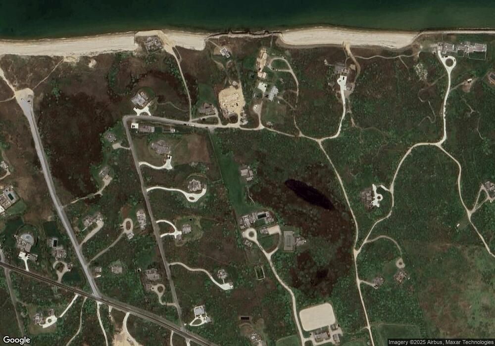
Map
Nearby Homes
- 11 Eel Point Rd
- 4 Fintry Ln
- 158 Madaket Rd
- 160 Madaket Rd
- 10 Maxey Pond Rd
- 196 Cliff Rd
- 174 Cliff Rd
- 118 Eel Point Rd
- 15 Hallowell Ln
- 45 Millbrook Rd
- 2 The Grove
- 86 Cliff Rd
- 9 Millbrook Road (Portion)
- 4 Millbrook Rd
- 18 Meadow Ln
- 11A Meadow Ln
- 36 Warrens Landing Rd
- 15 Gingy Ln
- 12 Derrymore Rd
- 24 Meadow View Dr
- 5 Swift Rock Rd N
- 19 E Tristram Ave
- 21 E Tristram Ave
- 21 E Tristram Ave
- 3 Swift Rock Rd N
- 13 E Tristram Ave
- 17 E Tristran Ave
- 15 E Tristram Ave
- 1 Swift Rock Rd N
- 15 E Tristram Ave
- 18 E Tristram Ave
- 1 Dionis Beach Rd
- 8 E Tristram Ave
- 27 E Tristram Ave
- 29 Eel Point Rd
- 5 Dionis Beach Rd
- 7 E Tristram Ave
- 27 Eel Point Rd
- 25 E Tristram Ave
- 3 Dionis Beach Rd