20 Allison Way Abingdon, MD 21009
Estimated Value: $260,387 - $346,000
--
Bed
2
Baths
1,080
Sq Ft
$266/Sq Ft
Est. Value
About This Home
This home is located at 20 Allison Way, Abingdon, MD 21009 and is currently estimated at $287,597, approximately $266 per square foot. 20 Allison Way is a home located in Harford County with nearby schools including William Paca/Old Post Road Elementary School, Edgewood Middle School, and Edgewood High School.
Ownership History
Date
Name
Owned For
Owner Type
Purchase Details
Closed on
Apr 6, 2001
Sold by
Weyforth William O
Bought by
Emerson Eric D and Horton Jane F
Current Estimated Value
Purchase Details
Closed on
Mar 17, 1992
Sold by
Simpson Ira L
Bought by
Weyforth William O
Purchase Details
Closed on
Apr 29, 1987
Sold by
Gaither Clay H
Bought by
Simpson Ira L
Home Financials for this Owner
Home Financials are based on the most recent Mortgage that was taken out on this home.
Original Mortgage
$70,584
Interest Rate
10.37%
Create a Home Valuation Report for This Property
The Home Valuation Report is an in-depth analysis detailing your home's value as well as a comparison with similar homes in the area
Home Values in the Area
Average Home Value in this Area
Purchase History
| Date | Buyer | Sale Price | Title Company |
|---|---|---|---|
| Emerson Eric D | $85,000 | -- | |
| Weyforth William O | $86,000 | -- | |
| Simpson Ira L | $69,000 | -- |
Source: Public Records
Mortgage History
| Date | Status | Borrower | Loan Amount |
|---|---|---|---|
| Previous Owner | Simpson Ira L | $70,584 | |
| Closed | Emerson Eric D | -- |
Source: Public Records
Tax History Compared to Growth
Tax History
| Year | Tax Paid | Tax Assessment Tax Assessment Total Assessment is a certain percentage of the fair market value that is determined by local assessors to be the total taxable value of land and additions on the property. | Land | Improvement |
|---|---|---|---|---|
| 2025 | $1,885 | $189,100 | $0 | $0 |
| 2024 | $1,885 | $176,700 | $0 | $0 |
| 2023 | $1,791 | $164,300 | $50,500 | $113,800 |
| 2022 | $1,767 | $162,133 | $0 | $0 |
| 2021 | $1,821 | $159,967 | $0 | $0 |
| 2020 | $1,821 | $157,800 | $50,500 | $107,300 |
| 2019 | $1,784 | $154,633 | $0 | $0 |
| 2018 | $1,732 | $151,467 | $0 | $0 |
| 2017 | $1,696 | $148,300 | $0 | $0 |
| 2016 | -- | $148,300 | $0 | $0 |
| 2015 | $1,677 | $148,300 | $0 | $0 |
| 2014 | $1,677 | $150,100 | $0 | $0 |
Source: Public Records
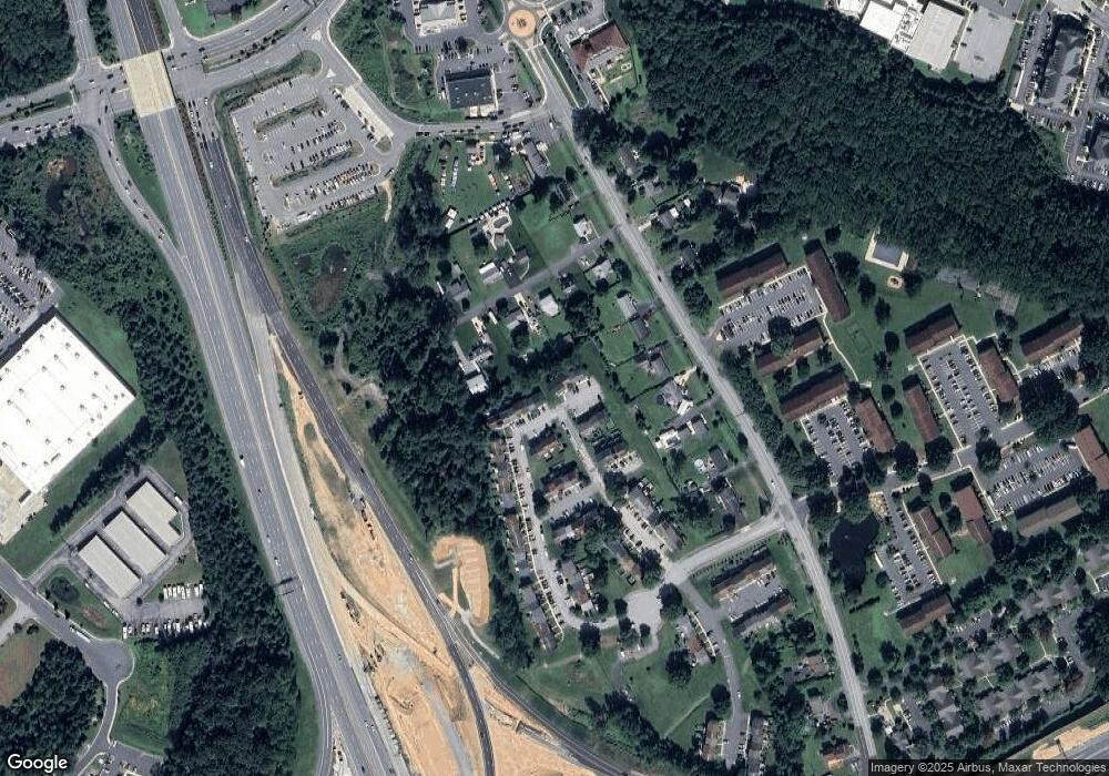
Map
Nearby Homes
- 3612 Torey Ln
- 28 Patricks Ct
- 3506 Back Pointe Ct Unit 3D
- 3500 Thomas Pointe Ct Unit 2B
- 201 Star Pointe Ct Unit 1A
- 203 Star Pointe Ct Unit 2C
- 203 Star Pointe Ct Unit 3C
- 404 Arrow Wood Ct
- 3359 Cheverly Ct
- 3154 Hidden Ridge Terrace
- 416 Arrow Wood Ct
- 3334 Cheverly Ct
- 3305 Berlin Ct
- 3329 Betterton Cir
- 3700 Denton Ct
- 3329 Midland Ct
- 3105 Cardinal Way Unit H
- 3134 Laurel View Dr
- 3202 Uppercoe Ct
- 3110 Woodspring Dr