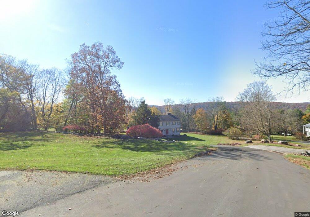
20 Broadview Rd Brookfield, CT 06804
Estimated Value: $726,315 - $878,000
4
Beds
4
Baths
2,238
Sq Ft
$353/Sq Ft
Est. Value
About This Home
This home is located at 20 Broadview Rd, Brookfield, CT 06804 and is currently estimated at $789,079, approximately $352 per square foot. 20 Broadview Rd is a home located in Fairfield County with nearby schools including Whisconier Middle School, Brookfield High School, and The Goddard School - Brookfield.
Ownership History
Date
Name
Owned For
Owner Type
Purchase Details
Closed on
Sep 18, 2000
Sold by
Potash Jonathan and Potash Louise
Bought by
Oshea Ii Martin and Oshea Marilyn
Current Estimated Value
Home Financials for this Owner
Home Financials are based on the most recent Mortgage that was taken out on this home.
Original Mortgage
$130,000
Interest Rate
8.07%
Purchase Details
Closed on
Sep 13, 1993
Sold by
Hanover Jack and Hanover Carol
Bought by
Potash Jonathan and Potash Louise
Create a Home Valuation Report for This Property
The Home Valuation Report is an in-depth analysis detailing your home's value as well as a comparison with similar homes in the area
Home Values in the Area
Average Home Value in this Area
Purchase History
| Date | Buyer | Sale Price | Title Company |
|---|---|---|---|
| Oshea Ii Martin | $370,000 | -- | |
| Oshea Martin | $370,000 | -- | |
| Potash Jonathan | $284,250 | -- | |
| Potash Jonathan | $284,250 | -- |
Source: Public Records
Mortgage History
| Date | Status | Borrower | Loan Amount |
|---|---|---|---|
| Closed | Potash Jonathan | $150,001 | |
| Closed | Potash Jonathan | $118,400 | |
| Closed | Potash Jonathan | $130,000 |
Source: Public Records
Tax History
| Year | Tax Paid | Tax Assessment Tax Assessment Total Assessment is a certain percentage of the fair market value that is determined by local assessors to be the total taxable value of land and additions on the property. | Land | Improvement |
|---|---|---|---|---|
| 2025 | $8,925 | $308,500 | $97,830 | $210,670 |
| 2024 | $8,607 | $308,500 | $97,830 | $210,670 |
| 2023 | $8,286 | $308,500 | $97,830 | $210,670 |
| 2022 | $7,984 | $308,500 | $97,830 | $210,670 |
| 2021 | $4,391 | $283,840 | $108,700 | $175,140 |
| 2020 | $4,391 | $283,840 | $108,700 | $175,140 |
| 2019 | $8,271 | $283,840 | $108,700 | $175,140 |
| 2018 | $9,577 | $283,840 | $108,700 | $175,140 |
| 2017 | $4,111 | $283,840 | $108,700 | $175,140 |
| 2016 | $7,638 | $289,310 | $124,200 | $165,110 |
| 2015 | $7,435 | $289,310 | $124,200 | $165,110 |
| 2014 | $7,435 | $289,310 | $124,200 | $165,110 |
Source: Public Records
Map
Nearby Homes
- 20 Brookfield Meadows
- 6 Poppy Dr
- 6 Hamlin Ct
- 37 Old Route 7 Unit 3
- 37 Old Route 7 Unit 4
- 22 Prospect Dr
- 24 Prospect Dr
- 109 Long Meadow Hill Rd
- 9 Hillside Ct
- 7 High Acres Rd
- 6 Comstock Trail Unit 6
- 26 Cove Rd
- 44 N Mountain Rd
- 3 Bramble Way Unit Homesite 77
- 29 Ledgewood Dr
- 5 Bramble Way Unit Homesite 76
- 154A Long Meadow Hill Rd
- 7 Bramble Way Unit Homesite 75
- 7 Bramble Way
- 154B Long Meadow Hill Rd
Your Personal Tour Guide
Ask me questions while you tour the home.