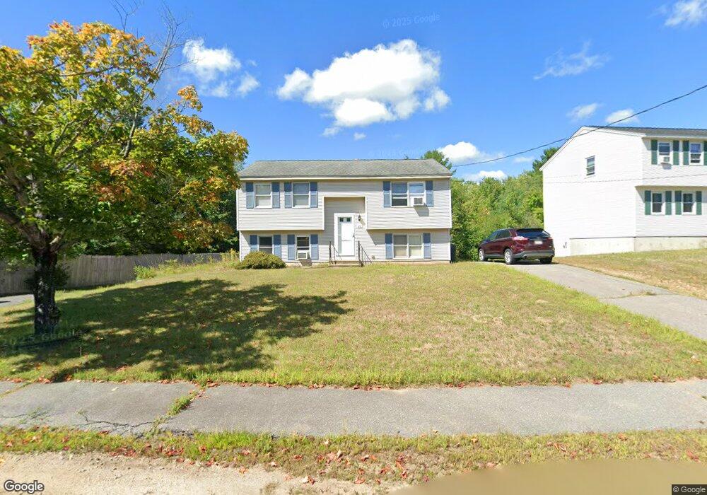
20 Brookside Dr Gardner, MA 01440
Estimated Value: $356,000 - $387,000
2
Beds
1
Bath
843
Sq Ft
$440/Sq Ft
Est. Value
About This Home
This home is located at 20 Brookside Dr, Gardner, MA 01440 and is currently estimated at $370,797, approximately $439 per square foot. 20 Brookside Dr is a home located in Worcester County with nearby schools including Gardner High School and Holy Family Academy.
Ownership History
Date
Name
Owned For
Owner Type
Purchase Details
Closed on
Jul 30, 2010
Sold by
Stacey James and Stacey Tina M
Bought by
Stacey Tina M
Current Estimated Value
Home Financials for this Owner
Home Financials are based on the most recent Mortgage that was taken out on this home.
Original Mortgage
$140,250
Outstanding Balance
$93,837
Interest Rate
4.78%
Mortgage Type
Purchase Money Mortgage
Estimated Equity
$276,960
Purchase Details
Closed on
Sep 4, 2001
Sold by
Kohlstrom Robert L and Kohlstrom Sherri J
Bought by
Stacey James and Stacey Tina M
Home Financials for this Owner
Home Financials are based on the most recent Mortgage that was taken out on this home.
Original Mortgage
$119,500
Interest Rate
7.06%
Mortgage Type
Purchase Money Mortgage
Create a Home Valuation Report for This Property
The Home Valuation Report is an in-depth analysis detailing your home's value as well as a comparison with similar homes in the area
Home Values in the Area
Average Home Value in this Area
Purchase History
| Date | Buyer | Sale Price | Title Company |
|---|---|---|---|
| Stacey Tina M | $22,000 | -- | |
| Stacey James | $155,000 | -- |
Source: Public Records
Mortgage History
| Date | Status | Borrower | Loan Amount |
|---|---|---|---|
| Open | Stacey Tina M | $140,250 | |
| Previous Owner | Stacey James | $119,500 | |
| Previous Owner | Stacey James | $11,412 | |
| Previous Owner | Stacey James | $79,000 |
Source: Public Records
Tax History
| Year | Tax Paid | Tax Assessment Tax Assessment Total Assessment is a certain percentage of the fair market value that is determined by local assessors to be the total taxable value of land and additions on the property. | Land | Improvement |
|---|---|---|---|---|
| 2025 | $50 | $349,000 | $74,600 | $274,400 |
| 2024 | $4,711 | $314,300 | $67,800 | $246,500 |
| 2023 | $4,541 | $281,500 | $66,900 | $214,600 |
| 2022 | $4,406 | $237,000 | $50,600 | $186,400 |
| 2021 | $4,259 | $212,500 | $44,000 | $168,500 |
| 2020 | $3,839 | $194,500 | $44,000 | $150,500 |
| 2019 | $3,917 | $194,500 | $44,000 | $150,500 |
| 2018 | $3,711 | $183,100 | $44,000 | $139,100 |
| 2017 | $3,615 | $176,500 | $44,000 | $132,500 |
| 2016 | $3,453 | $168,700 | $44,000 | $124,700 |
| 2015 | $3,239 | $162,100 | $44,000 | $118,100 |
| 2014 | $3,132 | $166,000 | $51,100 | $114,900 |
Source: Public Records
Map
Nearby Homes
- 26 Brookside Dr
- 14 Brookside Dr
- 34 Brookside Dr
- 23 Brookside Dr
- 399 Clark St
- 31 Brookside Dr
- 32 Brookside Dr
- 17 Brookside Dr
- 29 Brookside Dr
- 385 Clark St
- 40 Brookside Dr
- 35 Brookside Dr
- 4 Brookside Dr
- 37 Brookside Dr
- 2 Brookside Dr
- 419 Clark St
- 3 Brookside Dr
- G Brookside Dr
- B Brookside Dr
- D Brookside Dr
Your Personal Tour Guide
Ask me questions while you tour the home.