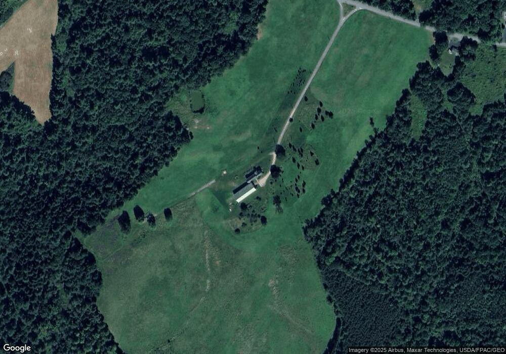
20 Carll Ln Gorham, ME 04038
Gorham AreaEstimated Value: $711,000 - $1,012,991
About This Home
This home is located at 20 Carll Ln, Gorham, ME 04038 and is currently estimated at $848,664, approximately $239 per square foot. 20 Carll Ln is a home located in Cumberland County with nearby schools including Great Falls Elementary School, Gorham Middle School, and Gorham High School.
Ownership History
We collect this data history from publicly available records. To have your information removed, we recommend requesting removal directly through your county’s website.
Purchase Details
Purchase Details
Home Values in the Area
Average Home Value in this Area
Purchase History
We collect this data history from publicly available records. To have your information removed, we recommend requesting removal directly through your county’s website.
| Date | Buyer | Sale Price | Title Company |
|---|---|---|---|
| $716,667 | -- | ||
| -- | -- |
Tax History
We collect this data history from publicly available records. To have your information removed, we recommend requesting removal directly through your county’s website.
| Year | Tax Paid | Tax Assessment Tax Assessment Total Assessment is a certain percentage of the fair market value that is determined by local assessors to be the total taxable value of land and additions on the property. | Land | Improvement |
|---|---|---|---|---|
| 2025 | $9,447 | $638,300 | $191,100 | $447,200 |
| 2024 | $9,462 | $643,700 | $196,500 | $447,200 |
| 2023 | $8,821 | $641,500 | $194,300 | $447,200 |
| 2022 | $8,269 | $643,500 | $196,300 | $447,200 |
| 2021 | $7,777 | $400,900 | $162,700 | $238,200 |
| 2020 | $7,651 | $402,700 | $164,500 | $238,200 |
| 2019 | $7,658 | $404,100 | $165,900 | $238,200 |
| 2018 | $7,442 | $408,900 | $170,700 | $238,200 |
| 2017 | $6,979 | $408,100 | $169,900 | $238,200 |
| 2016 | $6,909 | $406,400 | $168,200 | $238,200 |
| 2015 | $6,481 | $397,600 | $159,400 | $238,200 |
| 2014 | $6,958 | $399,900 | $149,200 | $250,700 |
| 2013 | $6,918 | $399,900 | $149,200 | $250,700 |
Map
- 16 Wilson Rd
- TBD Wescott Rd
- 62 Wescott Rd
- Lot A N Gorham Rd
- 4 N Gorham Rd
- 32 Fairway Commons Dr Unit 11
- 20 Equestrian Ln
- 8 Terry St
- 12 Dolley Farm Rd Unit 6
- 9 Gunpowder Mill Rd
- 697 Fort Hill Rd
- 30 Dolley Farm Rd Unit 13
- 42 Main St
- 412 Sebago Lake Rd
- 41 Main St
- 761 Fort Hill Rd
- 18 Cosmic Way Unit 18
- 594 River Rd
- 2 Twoey Dr
- 11 Gloria St
Ask me questions while you tour the home.