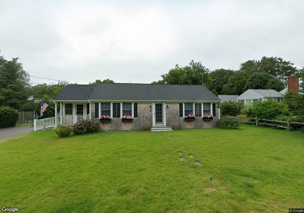
20 Cedar Point Dr Pocasset, MA 02559
Pocasset NeighborhoodEstimated Value: $733,000 - $795,000
2
Beds
2
Baths
1,152
Sq Ft
$669/Sq Ft
Est. Value
About This Home
This home is located at 20 Cedar Point Dr, Pocasset, MA 02559 and is currently estimated at $770,959, approximately $669 per square foot. 20 Cedar Point Dr is a home located in Barnstable County with nearby schools including Bourne High School, Cadence Academy Preschool - Bourne, and Heritage Christian Academy.
Ownership History
Date
Name
Owned For
Owner Type
Purchase Details
Closed on
Sep 22, 2023
Sold by
Culgin Michael F and Culgin Jennifer L
Bought by
Michael F Culgin Lt and Culgin
Current Estimated Value
Purchase Details
Closed on
Feb 8, 2021
Sold by
Weinert Joann M and Weinert Christopher G
Bought by
Culgin Michael F and Culgin Jennifer L
Home Financials for this Owner
Home Financials are based on the most recent Mortgage that was taken out on this home.
Original Mortgage
$420,000
Interest Rate
2.6%
Mortgage Type
Purchase Money Mortgage
Purchase Details
Closed on
Jan 9, 2017
Sold by
Weinert George W and Weinert Joann M
Bought by
Weinert George W and Weinert Joann M
Create a Home Valuation Report for This Property
The Home Valuation Report is an in-depth analysis detailing your home's value as well as a comparison with similar homes in the area
Home Values in the Area
Average Home Value in this Area
Purchase History
| Date | Buyer | Sale Price | Title Company |
|---|---|---|---|
| Michael F Culgin Lt | -- | None Available | |
| Michael F Culgin Lt | -- | None Available | |
| Culgin Michael F | $525,000 | None Available | |
| Culgin Michael F | $525,000 | None Available | |
| Weinert George W | -- | -- | |
| Weinert George W | -- | -- |
Source: Public Records
Mortgage History
| Date | Status | Borrower | Loan Amount |
|---|---|---|---|
| Previous Owner | Culgin Michael F | $420,000 |
Source: Public Records
Tax History Compared to Growth
Tax History
| Year | Tax Paid | Tax Assessment Tax Assessment Total Assessment is a certain percentage of the fair market value that is determined by local assessors to be the total taxable value of land and additions on the property. | Land | Improvement |
|---|---|---|---|---|
| 2025 | $5,070 | $649,200 | $381,300 | $267,900 |
| 2024 | $4,958 | $618,200 | $363,100 | $255,100 |
| 2023 | $4,821 | $547,200 | $321,400 | $225,800 |
| 2022 | $4,352 | $431,300 | $252,100 | $179,200 |
| 2021 | $3,846 | $357,100 | $229,400 | $127,700 |
| 2020 | $3,740 | $348,200 | $227,200 | $121,000 |
| 2019 | $3,588 | $341,400 | $227,200 | $114,200 |
| 2018 | $3,429 | $325,300 | $222,000 | $103,300 |
| 2017 | $3,318 | $322,100 | $219,900 | $102,200 |
| 2016 | $3,112 | $306,300 | $208,900 | $97,400 |
| 2015 | $2,918 | $289,800 | $192,400 | $97,400 |
Source: Public Records
Map
Nearby Homes
- 22 Nairn Rd
- 48 Red Brook Harbor Rd
- 3 Red Brook Pond Dr
- 1094 County Rd
- 171 Bellavista Dr
- 940 County Rd
- 254 Barlows Landing Rd
- 34 Kenwood Rd
- 45 Kenwood Rd
- 940 County Rd
- 70 Wings Neck Rd
- 709 County Rd
- 1234 Route 28a
- 7 4th Ave
- 1234 Route 28a
- 174 Barlows Landing Rd
- 24 Richmond Rd
- 15 1st St
- 10 Squeteague Harbor Rd
- 75 Winsor Rd
- 25 Spruce Dr
- 14 Cedar Point Dr
- 22 Cedar Point Dr
- 29 Spruce Dr
- 21 Spruce Dr
- 19 Cedar Point Dr
- 15 Cedar Point Dr
- 10 Cedar Point Dr
- 15 Spruce Dr
- 15 Spruce Dr
- 26 Cedar Point Dr
- 25 Cedar Point Dr
- 33 Spruce Dr
- 9 Cedar Point Dr
- 32 Elgin Rd
- 18 Spruce Dr
- 6 Cedar Point Dr
- 30 Spruce Dr
- 26 Spruce Dr
- 16 Spruce Dr