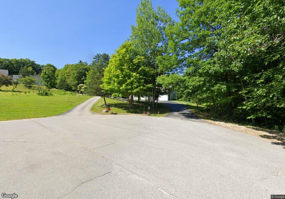
20 Chase Farm Ln Warner, NH 03278
Estimated Value: $505,344 - $617,000
3
Beds
3
Baths
2,016
Sq Ft
$282/Sq Ft
Est. Value
About This Home
This home is located at 20 Chase Farm Ln, Warner, NH 03278 and is currently estimated at $568,836, approximately $282 per square foot. 20 Chase Farm Ln is a home located in Merrimack County with nearby schools including Simonds Elementary School, Kearsarge Regional Middle School, and Kearsarge Regional High School.
Ownership History
Date
Name
Owned For
Owner Type
Purchase Details
Closed on
Jul 15, 2009
Sold by
Kent Madeline G
Bought by
Phillips Matthew James and Phillips Angela F
Current Estimated Value
Home Financials for this Owner
Home Financials are based on the most recent Mortgage that was taken out on this home.
Original Mortgage
$229,100
Interest Rate
5.31%
Purchase Details
Closed on
Nov 20, 2001
Sold by
Begin Construction Llc
Bought by
Kent George M and Kent Madeline G
Home Financials for this Owner
Home Financials are based on the most recent Mortgage that was taken out on this home.
Original Mortgage
$120,000
Interest Rate
6.7%
Create a Home Valuation Report for This Property
The Home Valuation Report is an in-depth analysis detailing your home's value as well as a comparison with similar homes in the area
Home Values in the Area
Average Home Value in this Area
Purchase History
| Date | Buyer | Sale Price | Title Company |
|---|---|---|---|
| Phillips Matthew James | $255,000 | -- | |
| Kent George M | $219,900 | -- |
Source: Public Records
Mortgage History
| Date | Status | Borrower | Loan Amount |
|---|---|---|---|
| Open | Kent George M | $231,300 | |
| Closed | Kent George M | $229,100 | |
| Previous Owner | Kent George M | $120,000 |
Source: Public Records
Tax History
| Year | Tax Paid | Tax Assessment Tax Assessment Total Assessment is a certain percentage of the fair market value that is determined by local assessors to be the total taxable value of land and additions on the property. | Land | Improvement |
|---|---|---|---|---|
| 2025 | $9,202 | $531,300 | $173,700 | $357,600 |
| 2024 | $7,435 | $240,700 | $32,700 | $208,000 |
| 2023 | $7,942 | $250,370 | $67,400 | $182,970 |
| 2016 | $6,845 | $250,370 | $67,400 | $182,970 |
| 2015 | $6,390 | $239,870 | $67,400 | $172,470 |
| 2011 | $6,812 | $272,810 | $76,900 | $195,910 |
Source: Public Records
Map
Nearby Homes
- 92 Waterloo St
- 41 School St
- 0 Waldron Hill Rd Unit 30-2-3
- 0 Waldron Hill Rd Unit 30-2-4
- 1 Gridley St
- 5 Gridley St
- lot 6 Gridley St
- 24 Willaby Colby Ln
- 00 Birch Hill Rd Unit 579-465
- 168 Route 103 E
- 312 North Rd
- 0 Bagley Hill Rd
- Map5lot729-028
- 11 White Plains Rd
- Map 03 Lot 89 Route 127
- 298 Battle St
- 2024 Route 114
- 2400 Route 114
- 547 Tyler Rd
- 10 Dodge Hill Rd
- m9 lot7-1 Mink Hill Ln
- 22 Danny Boy Ln
- 16 Danny Boy Ln
- 22 Chase Farm Ln
- 19 Chase Farm Ln
- 8 Danny Boy Ln
- 23 Highlawn Rd
- 252 Kearsarge Mountain Rd
- 270 Kearsarge Mountain Rd
- 2 Danny Boy Ln
- 278 Kearsarge Mountain Rd
- 278 Kearsarge Mountain Rd
- 64 Pattee Rd
- 247 Kearsarge Mountain Rd
- 281 Kearsarge Mountain Rd
- 54 Pattee Rd
- 288 Kearsarge Mtn Rd
- 288 Kearsarge Mountain Rd
- 228 Kearsarge Mountain Rd
- 50 Pattee Rd
Your Personal Tour Guide
Ask me questions while you tour the home.