20 Country Ln Colora, MD 21917
Estimated Value: $280,015 - $382,000
Studio
1
Bath
946
Sq Ft
$364/Sq Ft
Est. Value
About This Home
This home is located at 20 Country Ln, Colora, MD 21917 and is currently estimated at $344,754, approximately $364 per square foot. 20 Country Ln is a home located in Cecil County with nearby schools including Bainbridge Elementary School, Perryville Middle School, and Perryville High School.
Ownership History
Date
Name
Owned For
Owner Type
Purchase Details
Closed on
Mar 19, 2002
Sold by
Greene Richard W Ginger R
Bought by
Eastridge Russell Lee and Coffman Bonnie Lee
Current Estimated Value
Purchase Details
Closed on
Oct 7, 1996
Sold by
Greene Richard W
Bought by
Greene Richard W Ginger R
Purchase Details
Closed on
Feb 1, 1995
Sold by
Jescon Builders Inc
Bought by
Greene Richard W
Home Financials for this Owner
Home Financials are based on the most recent Mortgage that was taken out on this home.
Original Mortgage
$83,700
Interest Rate
9.13%
Purchase Details
Closed on
Oct 6, 1994
Sold by
Kiger
Bought by
Jescon Bldrs Inc
Create a Home Valuation Report for This Property
The Home Valuation Report is an in-depth analysis detailing your home's value as well as a comparison with similar homes in the area
Home Values in the Area
Average Home Value in this Area
Purchase History
| Date | Buyer | Sale Price | Title Company |
|---|---|---|---|
| Eastridge Russell Lee | $149,000 | -- | |
| Greene Richard W Ginger R | -- | -- | |
| Greene Richard W | $93,000 | -- | |
| Jescon Bldrs Inc | $33,000 | -- |
Source: Public Records
Mortgage History
| Date | Status | Borrower | Loan Amount |
|---|---|---|---|
| Previous Owner | Jescon Bldrs Inc | $83,700 | |
| Closed | Eastridge Russell Lee | -- |
Source: Public Records
Tax History
| Year | Tax Paid | Tax Assessment Tax Assessment Total Assessment is a certain percentage of the fair market value that is determined by local assessors to be the total taxable value of land and additions on the property. | Land | Improvement |
|---|---|---|---|---|
| 2025 | $2,446 | $219,800 | $90,300 | $129,500 |
| 2024 | $2,004 | $211,067 | $0 | $0 |
| 2023 | $1,585 | $202,333 | $0 | $0 |
| 2022 | $2,241 | $193,600 | $90,300 | $103,300 |
| 2021 | $2,196 | $191,200 | $0 | $0 |
| 2020 | $2,238 | $188,800 | $0 | $0 |
| 2019 | $2,210 | $186,400 | $90,300 | $96,100 |
| 2018 | $2,175 | $183,367 | $0 | $0 |
| 2017 | $2,140 | $180,333 | $0 | $0 |
| 2016 | $2,015 | $177,300 | $0 | $0 |
| 2015 | $2,015 | $177,300 | $0 | $0 |
| 2014 | $1,917 | $177,300 | $0 | $0 |
Source: Public Records
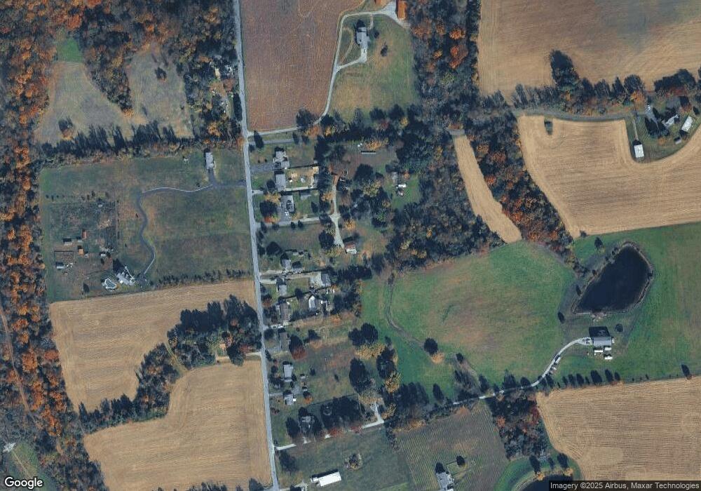
Map
Nearby Homes
- TBD Pine Needle Ct
- TBD Rowland Dr
- 39 N Friendship Ct
- 27 Behm Ln
- Sussex Plan at Liberty Grove
- Danville II Plan at Liberty Grove
- Brandywine Plan at Liberty Grove
- Rehoboth Plan at Liberty Grove
- Jefferson Plan at Liberty Grove
- Frankford Plan at Liberty Grove
- Roosevelt Plan at Liberty Grove
- Nottingham Plan at Liberty Grove
- Salem Plan at Liberty Grove
- Sacramento Plan at Liberty Grove
- lot 3 White Spruce Way
- 0 Liberty Grove Rd Unit MDCC2015324
- 0 Boyd Dr
- 38 Groff Farm Ln
- 0 Colora Rd
- 1741 Liberty Grove Rd
Your Personal Tour Guide
Ask me questions while you tour the home.