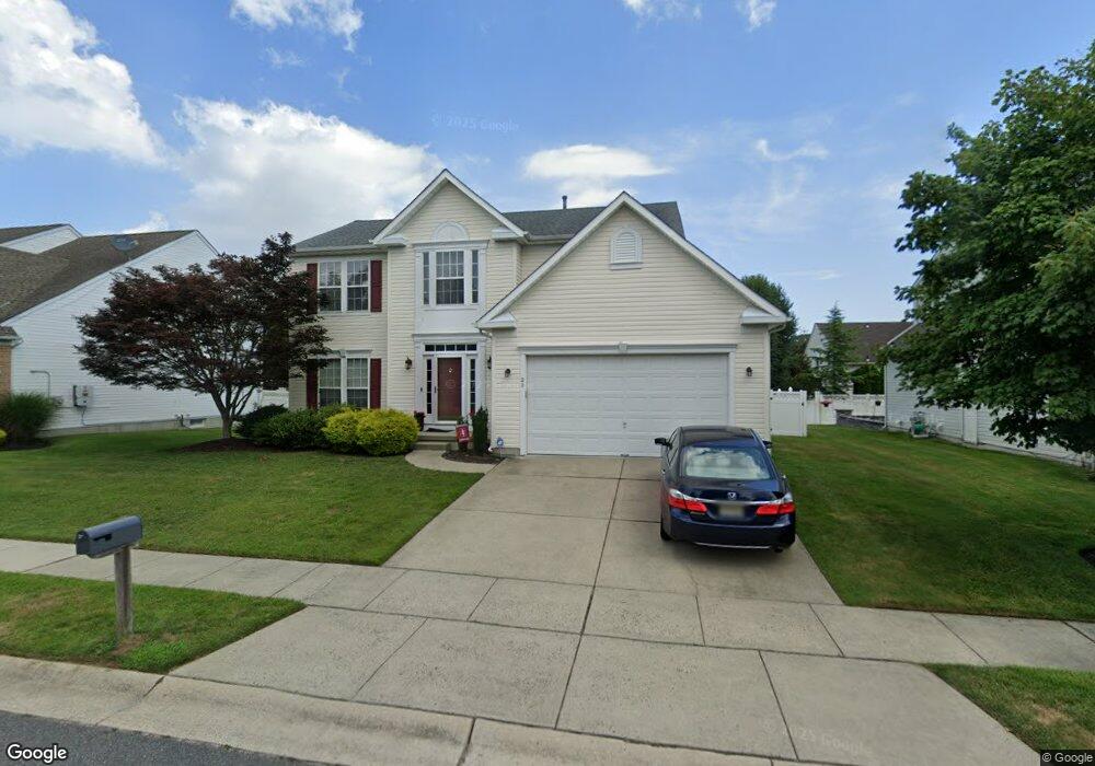
20 Crossing Dr Linwood, NJ 08221
Estimated Value: $613,748 - $792,000
4
Beds
3
Baths
1,946
Sq Ft
$354/Sq Ft
Est. Value
About This Home
This home is located at 20 Crossing Dr, Linwood, NJ 08221 and is currently estimated at $688,687, approximately $353 per square foot. 20 Crossing Dr is a home located in Atlantic County with nearby schools including Seaview Elementary School, Belhaven Middle School, and Mainland Regional High School.
Ownership History
Date
Name
Owned For
Owner Type
Purchase Details
Closed on
May 20, 2010
Sold by
Herman Howard M and Herman Mary E
Bought by
Phyu Eimon and Htay Yemin
Current Estimated Value
Home Financials for this Owner
Home Financials are based on the most recent Mortgage that was taken out on this home.
Original Mortgage
$296,000
Outstanding Balance
$198,979
Interest Rate
5.11%
Mortgage Type
New Conventional
Estimated Equity
$489,708
Purchase Details
Closed on
Nov 28, 2000
Sold by
Nvr Inc
Bought by
Herman Howard M and Herman Mary E
Home Financials for this Owner
Home Financials are based on the most recent Mortgage that was taken out on this home.
Original Mortgage
$159,950
Interest Rate
7.64%
Purchase Details
Closed on
Aug 28, 2000
Sold by
Linwood Development Llc
Bought by
Nvr Homes Inc and Ryan Homes
Create a Home Valuation Report for This Property
The Home Valuation Report is an in-depth analysis detailing your home's value as well as a comparison with similar homes in the area
Home Values in the Area
Average Home Value in this Area
Purchase History
| Date | Buyer | Sale Price | Title Company |
|---|---|---|---|
| Phyu Eimon | $370,000 | Group 21 | |
| Herman Howard M | $218,992 | First American Title Ins Co | |
| Nvr Homes Inc | $74,500 | Title America Agency Corp |
Source: Public Records
Mortgage History
| Date | Status | Borrower | Loan Amount |
|---|---|---|---|
| Open | Phyu Eimon | $296,000 | |
| Previous Owner | Herman Howard M | $159,950 |
Source: Public Records
Tax History Compared to Growth
Tax History
| Year | Tax Paid | Tax Assessment Tax Assessment Total Assessment is a certain percentage of the fair market value that is determined by local assessors to be the total taxable value of land and additions on the property. | Land | Improvement |
|---|---|---|---|---|
| 2025 | $11,315 | $296,600 | $98,200 | $198,400 |
| 2024 | $11,315 | $296,600 | $98,200 | $198,400 |
| 2023 | $10,790 | $296,600 | $98,200 | $198,400 |
| 2022 | $10,790 | $296,600 | $98,200 | $198,400 |
| 2021 | $10,695 | $296,600 | $98,200 | $198,400 |
| 2020 | $10,547 | $296,600 | $98,200 | $198,400 |
| 2019 | $10,322 | $296,600 | $98,200 | $198,400 |
| 2018 | $10,090 | $296,600 | $98,200 | $198,400 |
| 2017 | $9,889 | $296,600 | $98,200 | $198,400 |
| 2016 | $9,556 | $296,600 | $98,200 | $198,400 |
| 2015 | $9,565 | $296,600 | $98,200 | $198,400 |
| 2014 | $9,195 | $296,600 | $98,200 | $198,400 |
Source: Public Records
Map
Nearby Homes
- 301 Wabash Ave
- 210 Haines Ave
- 309 Haines Ave
- 130 Wilson Ave
- 605 Shore Rd
- 550 Central Ave Unit M3
- 550 Central Ave Unit B1
- 550 Central Ave Unit 4
- 550 Central Ave Unit G-16 Constitution Ct
- 550 Central Ave Unit E-14
- 550 Central Ave Unit I-7
- 110 W Poplar Ave
- 104 W Poplar Ave
- 550 G-16 Central Ave
- 413 W Oakcrest Ave
- 500 Davis Ave
- 622 Central Ave
- 41 E Vernon Ave
- 2 Sandy Ct
- 901 Oak Ave