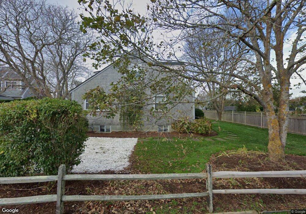
20 Derrymore Rd Nantucket, MA 02554
Estimated Value: $3,509,000 - $4,725,000
5
Beds
3
Baths
2,422
Sq Ft
$1,729/Sq Ft
Est. Value
About This Home
This home is located at 20 Derrymore Rd, Nantucket, MA 02554 and is currently estimated at $4,186,527, approximately $1,728 per square foot. 20 Derrymore Rd is a home located in Nantucket County with nearby schools including Nantucket Elementary School, Cyrus Peirce Middle School, and Nantucket High School.
Ownership History
Date
Name
Owned For
Owner Type
Purchase Details
Closed on
May 31, 2005
Sold by
Mcauley Kenneth B and Mcauley Paula M
Bought by
Pearlstein Michael S and Pearlstein Mindy
Current Estimated Value
Home Financials for this Owner
Home Financials are based on the most recent Mortgage that was taken out on this home.
Original Mortgage
$1,080,000
Outstanding Balance
$570,343
Interest Rate
5.94%
Mortgage Type
Purchase Money Mortgage
Estimated Equity
$3,616,184
Create a Home Valuation Report for This Property
The Home Valuation Report is an in-depth analysis detailing your home's value as well as a comparison with similar homes in the area
Home Values in the Area
Average Home Value in this Area
Purchase History
| Date | Buyer | Sale Price | Title Company |
|---|---|---|---|
| Pearlstein Michael S | $1,350,000 | -- | |
| Pearlstein Michael S | $1,350,000 | -- |
Source: Public Records
Mortgage History
| Date | Status | Borrower | Loan Amount |
|---|---|---|---|
| Open | Pearlstein Michael S | $1,080,000 | |
| Closed | Pearlstein Michael S | $1,080,000 | |
| Previous Owner | Pearlstein Michael S | $300,000 |
Source: Public Records
Tax History Compared to Growth
Tax History
| Year | Tax Paid | Tax Assessment Tax Assessment Total Assessment is a certain percentage of the fair market value that is determined by local assessors to be the total taxable value of land and additions on the property. | Land | Improvement |
|---|---|---|---|---|
| 2025 | $9,563 | $2,915,600 | $1,549,500 | $1,366,100 |
| 2024 | $8,992 | $2,872,800 | $1,549,500 | $1,323,300 |
| 2023 | $8,093 | $2,521,300 | $1,476,300 | $1,045,000 |
| 2022 | $7,879 | $2,106,800 | $1,233,100 | $873,700 |
| 2021 | $7,217 | $1,988,100 | $1,135,800 | $852,300 |
| 2020 | $6,859 | $1,988,100 | $1,135,800 | $852,300 |
| 2019 | $6,653 | $1,980,200 | $1,127,900 | $852,300 |
| 2018 | $6,235 | $1,766,200 | $1,127,900 | $638,300 |
| 2017 | $5,987 | $1,766,200 | $1,127,900 | $638,300 |
| 2016 | $4,310 | $1,282,800 | $644,500 | $638,300 |
| 2015 | $4,313 | $1,194,800 | $556,500 | $638,300 |
| 2014 | $4,492 | $1,194,800 | $556,500 | $638,300 |
Source: Public Records
Map
Nearby Homes
- 18 Derrymore Rd
- 24 Derrymore Rd
- 16 Derrymore Rd
- 15 Derrymore Rd
- 17 Derrymore Rd
- 19 Derrymore Rd
- 14 Derrymore Rd
- 2 Derry Ln
- 20 Gingy Ln
- 21 Derrymore Rd
- 2 Delaney Rd
- 4 Brooks Farm Rd
- 18 Gingy Ln
- 6 Derry Ln
- 4 Delaney Rd
- 2 Lightship Ln
- 1 Derry Ln
- 8 Delaney Road (Portion of Known As Lot B)
- 6 Delaney Road (Portion Of) Lot C
- 6 Delaney Rd