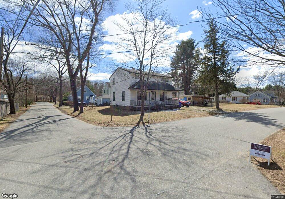
20 Espie Ave Maynard, MA 01754
Estimated Value: $586,397 - $722,000
4
Beds
3
Baths
1,560
Sq Ft
$419/Sq Ft
Est. Value
About This Home
This home is located at 20 Espie Ave, Maynard, MA 01754 and is currently estimated at $653,099, approximately $418 per square foot. 20 Espie Ave is a home located in Middlesex County with nearby schools including Green Meadow School, Fowler School, and Maynard High School.
Create a Home Valuation Report for This Property
The Home Valuation Report is an in-depth analysis detailing your home's value as well as a comparison with similar homes in the area
Home Values in the Area
Average Home Value in this Area
Tax History
| Year | Tax Paid | Tax Assessment Tax Assessment Total Assessment is a certain percentage of the fair market value that is determined by local assessors to be the total taxable value of land and additions on the property. | Land | Improvement |
|---|---|---|---|---|
| 2025 | $9,218 | $517,000 | $286,600 | $230,400 |
| 2024 | $8,615 | $481,800 | $273,000 | $208,800 |
| 2023 | $8,554 | $450,900 | $260,000 | $190,900 |
| 2022 | $8,399 | $409,300 | $218,400 | $190,900 |
| 2021 | $5,266 | $407,000 | $218,400 | $188,600 |
| 2020 | $7,971 | $386,200 | $197,600 | $188,600 |
| 2019 | $7,551 | $358,900 | $188,800 | $170,100 |
| 2018 | $4,001 | $313,500 | $171,600 | $141,900 |
| 2017 | $5,082 | $313,500 | $171,600 | $141,900 |
| 2016 | $6,662 | $313,500 | $171,600 | $141,900 |
| 2015 | $6,356 | $284,900 | $163,800 | $121,100 |
| 2014 | $6,235 | $279,700 | $158,600 | $121,100 |
Source: Public Records
Map
Nearby Homes
- 41 Taylor Rd
- 38 Fairfield St
- 3 Apple Ridge Rd Unit 2
- 153 Summer St
- 6 Nancy Cir
- 1 Apple Ridge Unit 2
- 13 Arthur St Unit 15
- 2 Wall Ct
- 5 Hayes St Unit 5
- 31-33 Roosevelt St
- 74 Pompositticut St
- 22 Douglas Ave Unit 2
- 22 Douglas Ave Unit 1
- 62 Waltham St
- 36 Brown St
- 70 Powder Mill Rd
- 63 Conant St
- 48 Chanticleer Rd
- 1 Carlton Dr
- 8 Snowberry Ln
Your Personal Tour Guide
Ask me questions while you tour the home.