Estimated Value: $674,000 - $902,000
3
Beds
2
Baths
2,244
Sq Ft
$361/Sq Ft
Est. Value
About This Home
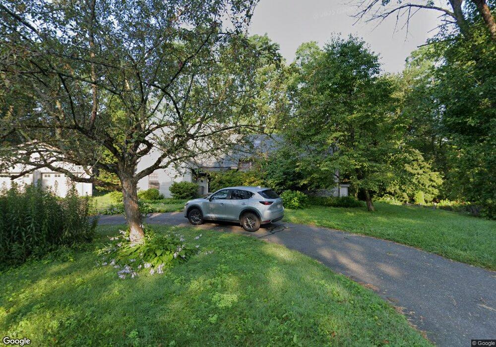
This home is located at 20 Grove Ave, Leeds, MA 01053 and is currently estimated at $809,434, approximately $360 per square foot. 20 Grove Ave is a home located in Hampshire County with nearby schools including Northampton High School, The Montessori School of Northampton, and Lander Grinspoon Academy.
Ownership History
Date
Name
Owned For
Owner Type
Purchase Details
Closed on
Aug 8, 2025
Sold by
Cherulnik Paul D and Cherulnik Beverly E
Bought by
Cherulnik Ft and Cherulnik
Current Estimated Value
Purchase Details
Closed on
Apr 1, 2002
Sold by
Miranda Lillian T
Bought by
Cherulnik Beverly E and Cherulnik Paul D
Home Financials for this Owner
Home Financials are based on the most recent Mortgage that was taken out on this home.
Original Mortgage
$200,000
Interest Rate
6.88%
Mortgage Type
Purchase Money Mortgage
Create a Home Valuation Report for This Property
The Home Valuation Report is an in-depth analysis detailing your home's value as well as a comparison with similar homes in the area
Home Values in the Area
Average Home Value in this Area
Purchase History
| Date | Buyer | Sale Price | Title Company |
|---|---|---|---|
| Cherulnik Ft | -- | -- | |
| Cherulnik Ft | -- | -- | |
| Cherulnik Beverly E | $310,000 | -- | |
| Cherulnik Beverly E | $310,000 | -- |
Source: Public Records
Mortgage History
| Date | Status | Borrower | Loan Amount |
|---|---|---|---|
| Previous Owner | Cherulnik Beverly E | $215,000 | |
| Previous Owner | Cherulnik Beverly E | $200,000 |
Source: Public Records
Tax History Compared to Growth
Tax History
| Year | Tax Paid | Tax Assessment Tax Assessment Total Assessment is a certain percentage of the fair market value that is determined by local assessors to be the total taxable value of land and additions on the property. | Land | Improvement |
|---|---|---|---|---|
| 2025 | $9,375 | $673,000 | $114,600 | $558,400 |
| 2024 | $8,696 | $572,500 | $109,400 | $463,100 |
| 2023 | $8,128 | $513,100 | $99,300 | $413,800 |
| 2022 | $7,059 | $394,600 | $93,100 | $301,500 |
| 2021 | $7,045 | $405,600 | $88,900 | $316,700 |
| 2020 | $6,814 | $405,600 | $88,900 | $316,700 |
| 2019 | $7,082 | $407,700 | $93,900 | $313,800 |
| 2018 | $6,879 | $403,700 | $93,900 | $309,800 |
| 2017 | $6,738 | $403,700 | $93,900 | $309,800 |
| 2016 | $6,524 | $403,700 | $93,900 | $309,800 |
| 2015 | $5,942 | $376,100 | $88,900 | $287,200 |
| 2014 | $5,788 | $376,100 | $88,900 | $287,200 |
Source: Public Records
Map
Nearby Homes
- 48 Evergreen Rd Unit 306
- 48 Evergreen Rd Unit 214
- 0 Haydenville Rd
- 139 Water St
- 222 River Rd
- 339 Haydenville Rd
- 140 Florence St
- 481 Kennedy Rd
- 362 Kennedy Rd
- 384 Spring St
- 20 Bridge Rd Unit 8
- 201 Main St
- 1 S Main St
- 213 Spring Grove Ave
- 35 Hillcrest Dr
- 90 Fox Farms Rd
- 67 Park St Unit A
- 67 Park St Unit D
- 76 Maple St
- 89 Main St Unit D