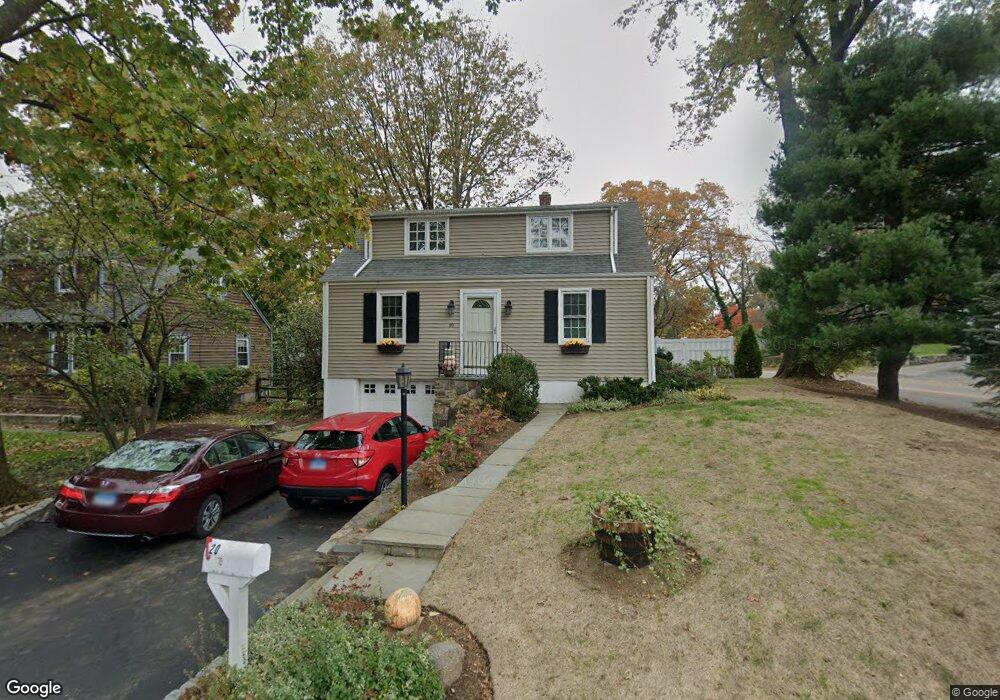
20 Hoover Rd Riverside, CT 06878
Estimated Value: $1,092,000 - $1,398,710
3
Beds
2
Baths
1,764
Sq Ft
$716/Sq Ft
Est. Value
About This Home
This home is located at 20 Hoover Rd, Riverside, CT 06878 and is currently estimated at $1,263,178, approximately $716 per square foot. 20 Hoover Rd is a home located in Fairfield County with nearby schools including North Mianus School, Eastern Middle School, and Greenwich High School.
Ownership History
Date
Name
Owned For
Owner Type
Purchase Details
Closed on
Aug 17, 2023
Sold by
Cocchi Anthony
Bought by
Anthony Cocchi Ret and Cocchi
Current Estimated Value
Purchase Details
Closed on
Aug 11, 1998
Sold by
Daly Edward F and Daly Ellen S
Bought by
Cocchi Anthony and Cocchi Nina D
Purchase Details
Closed on
Nov 16, 1993
Sold by
Piccirillo Barbara
Bought by
Daly Ed and Daly Ellen
Home Financials for this Owner
Home Financials are based on the most recent Mortgage that was taken out on this home.
Original Mortgage
$224,725
Interest Rate
6.5%
Mortgage Type
Unknown
Create a Home Valuation Report for This Property
The Home Valuation Report is an in-depth analysis detailing your home's value as well as a comparison with similar homes in the area
Home Values in the Area
Average Home Value in this Area
Purchase History
| Date | Buyer | Sale Price | Title Company |
|---|---|---|---|
| Anthony Cocchi Ret | -- | None Available | |
| Cocchi Anthony | $408,000 | -- | |
| Daly Ed | $250,000 | -- |
Source: Public Records
Mortgage History
| Date | Status | Borrower | Loan Amount |
|---|---|---|---|
| Previous Owner | Daly Ed | $224,725 |
Source: Public Records
Tax History
| Year | Tax Paid | Tax Assessment Tax Assessment Total Assessment is a certain percentage of the fair market value that is determined by local assessors to be the total taxable value of land and additions on the property. | Land | Improvement |
|---|---|---|---|---|
| 2025 | $6,862 | $555,240 | $423,640 | $131,600 |
| 2024 | $6,627 | $555,240 | $423,640 | $131,600 |
| 2023 | $6,461 | $555,240 | $423,640 | $131,600 |
| 2022 | $6,402 | $555,240 | $423,640 | $131,600 |
| 2021 | $6,210 | $515,760 | $357,420 | $158,340 |
| 2020 | $6,199 | $515,760 | $357,420 | $158,340 |
| 2019 | $6,261 | $515,760 | $357,420 | $158,340 |
| 2018 | $6,122 | $515,760 | $357,420 | $158,340 |
| 2017 | $6,199 | $515,760 | $357,420 | $158,340 |
| 2016 | $6,101 | $515,760 | $357,420 | $158,340 |
| 2015 | $5,481 | $459,620 | $338,450 | $121,170 |
| 2014 | $5,343 | $459,620 | $338,450 | $121,170 |
Source: Public Records
Map
Nearby Homes
- 25 Dialstone Ln
- 23 Thornhill Rd
- 5 Sunshine Ave
- 45 Sunshine Ave
- 23 Westview Place
- 20 Sound Beach Ave
- 14 Bradbury Place
- 32 Meyer Place
- 10 Verona Dr
- 112 Sheephill Rd
- 115 River Rd Unit 7
- 17 Maple Dr
- 15 Pell Place
- 56 Winthrop Dr
- 1 Bramble Ln
- 47 Owenoke Way
- 96 River Rd
- 24 Decatur St Unit 2
- 2 Forest Ave
- 10 Lockwood Rd
Your Personal Tour Guide
Ask me questions while you tour the home.