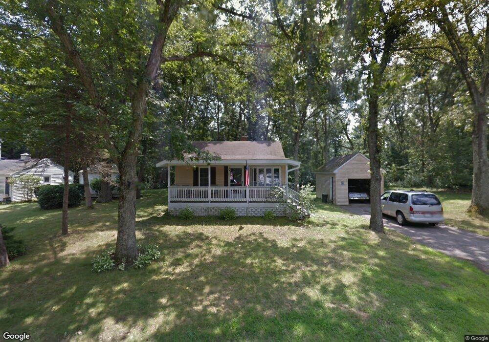
20 Lloyd Ave Unit 2A Wrentham, MA 02093
Estimated Value: $423,000 - $465,000
2
Beds
1
Bath
576
Sq Ft
$769/Sq Ft
Est. Value
About This Home
This home is located at 20 Lloyd Ave Unit 2A, Wrentham, MA 02093 and is currently estimated at $442,877, approximately $768 per square foot. 20 Lloyd Ave Unit 2A is a home located in Norfolk County with nearby schools including Delaney Elementary School, Charles E Roderick, and Foxborough Regional Charter School.
Ownership History
Date
Name
Owned For
Owner Type
Purchase Details
Closed on
Aug 25, 2021
Sold by
Bezema Erik and Bezema Martin B
Bought by
Bezema 20 Nt
Current Estimated Value
Purchase Details
Closed on
Oct 30, 1998
Sold by
Lomas George R
Bought by
Lloyd Rt
Purchase Details
Closed on
May 21, 1998
Sold by
Lomas George R
Bought by
Wilson Assoc Eng Etc
Create a Home Valuation Report for This Property
The Home Valuation Report is an in-depth analysis detailing your home's value as well as a comparison with similar homes in the area
Purchase History
| Date | Buyer | Sale Price | Title Company |
|---|---|---|---|
| Bezema 20 Nt | -- | None Available | |
| Bezema Erik | -- | None Available | |
| Lloyd Rt | $92,000 | -- | |
| Wilson Assoc Eng Etc | $1,500 | -- |
Source: Public Records
Tax History
| Year | Tax Paid | Tax Assessment Tax Assessment Total Assessment is a certain percentage of the fair market value that is determined by local assessors to be the total taxable value of land and additions on the property. | Land | Improvement |
|---|---|---|---|---|
| 2025 | $4,781 | $412,500 | $259,300 | $153,200 |
| 2024 | $4,403 | $366,900 | $259,300 | $107,600 |
| 2023 | $4,071 | $322,600 | $235,800 | $86,800 |
| 2022 | $4,105 | $300,300 | $220,000 | $80,300 |
| 2021 | $3,781 | $268,700 | $192,000 | $76,700 |
| 2020 | $3,551 | $249,200 | $170,800 | $78,400 |
| 2019 | $3,502 | $248,000 | $170,800 | $77,200 |
| 2018 | $3,675 | $258,100 | $170,800 | $87,300 |
| 2017 | $3,527 | $247,500 | $167,500 | $80,000 |
| 2016 | $3,446 | $241,300 | $162,700 | $78,600 |
| 2015 | $3,345 | $223,300 | $156,400 | $66,900 |
| 2014 | $3,305 | $215,900 | $150,400 | $65,500 |
Source: Public Records
Map
Nearby Homes
- 282 Thurston St
- 483 Thurston St
- 10 Nature View Dr
- 15 Nature View Dr
- 131 Washington St Unit 50
- 25 Foxboro Rd
- 8 Conway Ln
- 576 Dedham St
- 12 Goodwin Dr
- 75 Foxboro Rd
- 3 Earle Stewart Ln
- 2 Earle Stewart Ln
- 10 Earle Stewart Ln Unit Lot 5
- 12 Earle Stewart Ln
- 135 Creek St Unit 2
- 1 Weber Farm Rd Unit 1
- 11 Weber Farm Rd Unit 11
- 8 Weber Farm Rd Unit 8
- 38 Mirimichi St
- 46 Mirimichi St
Your Personal Tour Guide
Ask me questions while you tour the home.