20 Longmeadow Dr Canton, MA 02021
Estimated Value: $838,000 - $916,000
3
Beds
3
Baths
1,844
Sq Ft
$472/Sq Ft
Est. Value
About This Home
This home is located at 20 Longmeadow Dr, Canton, MA 02021 and is currently estimated at $869,695, approximately $471 per square foot. 20 Longmeadow Dr is a home located in Norfolk County with nearby schools including Canton High School, St. John the Evangelist School, and Chabad Day School of School.
Ownership History
Date
Name
Owned For
Owner Type
Purchase Details
Closed on
Mar 7, 2002
Sold by
Alleyne Evelyn
Bought by
Papantoniadis A and Papantoniadis N
Current Estimated Value
Home Financials for this Owner
Home Financials are based on the most recent Mortgage that was taken out on this home.
Original Mortgage
$300,600
Outstanding Balance
$125,126
Interest Rate
7.01%
Mortgage Type
Purchase Money Mortgage
Estimated Equity
$744,569
Create a Home Valuation Report for This Property
The Home Valuation Report is an in-depth analysis detailing your home's value as well as a comparison with similar homes in the area
Home Values in the Area
Average Home Value in this Area
Purchase History
| Date | Buyer | Sale Price | Title Company |
|---|---|---|---|
| Papantoniadis A | $358,000 | -- |
Source: Public Records
Mortgage History
| Date | Status | Borrower | Loan Amount |
|---|---|---|---|
| Open | Papantoniadis A | $300,600 |
Source: Public Records
Tax History Compared to Growth
Tax History
| Year | Tax Paid | Tax Assessment Tax Assessment Total Assessment is a certain percentage of the fair market value that is determined by local assessors to be the total taxable value of land and additions on the property. | Land | Improvement |
|---|---|---|---|---|
| 2025 | $7,209 | $728,900 | $370,800 | $358,100 |
| 2024 | $7,105 | $712,600 | $356,600 | $356,000 |
| 2023 | $6,967 | $659,100 | $356,600 | $302,500 |
| 2022 | $6,841 | $602,700 | $339,500 | $263,200 |
| 2021 | $6,665 | $546,300 | $308,700 | $237,600 |
| 2020 | $6,410 | $524,100 | $294,000 | $230,100 |
| 2019 | $6,656 | $536,800 | $311,700 | $225,100 |
| 2018 | $6,501 | $523,400 | $299,800 | $223,600 |
| 2017 | $6,566 | $513,400 | $293,900 | $219,500 |
| 2016 | $6,451 | $504,400 | $286,700 | $217,700 |
| 2015 | $6,298 | $491,300 | $278,400 | $212,900 |
Source: Public Records
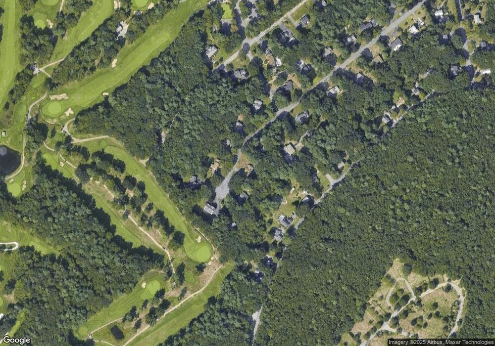
Map
Nearby Homes
- 51 Cape Club Dr
- 40 Cape Club Dr Unit 40
- 38 Cape Club Dr Unit 38
- 59 Walpole St Unit 115
- 84 Walpole St Unit 1C
- 84 Walpole St Unit 6E
- 356 Neponset St Unit E
- 354 Neponset St Unit M
- 25 Norfolk St
- 1 Apple Valley Dr Unit 1
- 360 Neponset St Unit 605
- 64 Richards Ave
- 251 Neponset St Unit 3
- 399 Neponset St Unit 311
- 399 Neponset St Unit 210
- 399 Neponset St Unit 412
- 399 Neponset St Unit 104
- 12 Concord Ave
- 71 High St
- 56 Mill Pond Ln
- 22 Longmeadow Dr
- 23 Longmeadow Dr
- 25 Longmeadow Dr
- 6 Everendon Rd
- 21 Longmeadow Dr
- 24 Longmeadow Dr
- 29 Longmeadow Dr
- 4 Everendon Rd
- 27 Longmeadow Dr
- 427 Walpole St
- 433 Walpole St
- 19 Longmeadow Dr
- 435 Walpole St
- 435 Walpole St Unit 1
- 435 Walpole St Unit 2
- 435 Walpole St Unit A
- 5 Everendon Rd
- 14 Longmeadow Dr
- 14 Longmeadow Dr Unit 14
- 17 Longmeadow Dr