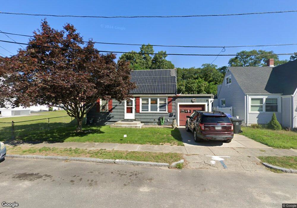
20 Luray St Riverside, RI 02915
Riverside NeighborhoodEstimated Value: $417,299 - $452,000
4
Beds
2
Baths
1,736
Sq Ft
$251/Sq Ft
Est. Value
About This Home
This home is located at 20 Luray St, Riverside, RI 02915 and is currently estimated at $436,325, approximately $251 per square foot. 20 Luray St is a home located in Providence County with nearby schools including East Providence High School, St Mary Academy-Bay View, and St Luke Elementary School.
Ownership History
Date
Name
Owned For
Owner Type
Purchase Details
Closed on
Sep 21, 1994
Sold by
Frias Anthony and Frias Joan
Bought by
Adams Donna L
Current Estimated Value
Home Financials for this Owner
Home Financials are based on the most recent Mortgage that was taken out on this home.
Original Mortgage
$102,800
Interest Rate
8.56%
Mortgage Type
Purchase Money Mortgage
Create a Home Valuation Report for This Property
The Home Valuation Report is an in-depth analysis detailing your home's value as well as a comparison with similar homes in the area
Home Values in the Area
Average Home Value in this Area
Purchase History
| Date | Buyer | Sale Price | Title Company |
|---|---|---|---|
| Adams Donna L | $106,000 | -- | |
| Adams Donna L | $106,000 | -- |
Source: Public Records
Mortgage History
| Date | Status | Borrower | Loan Amount |
|---|---|---|---|
| Open | Adams Donna L | $162,000 | |
| Closed | Adams Donna L | $164,500 | |
| Closed | Adams Donna L | $96,500 | |
| Closed | Adams Donna L | $102,800 |
Source: Public Records
Tax History Compared to Growth
Tax History
| Year | Tax Paid | Tax Assessment Tax Assessment Total Assessment is a certain percentage of the fair market value that is determined by local assessors to be the total taxable value of land and additions on the property. | Land | Improvement |
|---|---|---|---|---|
| 2025 | $4,644 | $355,300 | $102,000 | $253,300 |
| 2024 | $4,332 | $282,600 | $85,000 | $197,600 |
| 2023 | $4,171 | $282,600 | $85,000 | $197,600 |
| 2022 | $4,158 | $190,200 | $55,400 | $134,800 |
| 2021 | $4,089 | $190,200 | $54,400 | $135,800 |
| 2020 | $3,916 | $190,200 | $54,400 | $135,800 |
| 2019 | $3,808 | $190,200 | $54,400 | $135,800 |
| 2018 | $3,347 | $146,300 | $36,700 | $109,600 |
| 2017 | $3,273 | $146,300 | $36,700 | $109,600 |
| 2016 | $3,257 | $146,300 | $36,700 | $109,600 |
| 2015 | $3,250 | $141,600 | $36,400 | $105,200 |
| 2014 | $3,250 | $141,600 | $36,400 | $105,200 |
Source: Public Records
Map
Nearby Homes
- 17 Oak Ave
- 1 Holly St
- 33 Pine St Unit 35
- 72 Stowe Ave
- 88 Lincoln Ave
- 93 Narragansett Ave
- 25 Read St
- 129 Cedar Ave
- 81 Sprague Ave
- 57 Harris St
- 87 Bluff St
- 25 Arnold St
- 129 Shore Rd
- 3 White Ave
- 1 Sabin St
- 735 Willett Ave Unit 806
- 536 Willett Ave
- 151 Willett Ave Unit 2
- 151 Willett Ave Unit 5
- 41 White Ave