20 Mccormack Ln Moultonborough, NH 03254
Estimated Value: $665,000 - $1,797,000
4
Beds
3
Baths
4,615
Sq Ft
$218/Sq Ft
Est. Value
About This Home
This home is located at 20 Mccormack Ln, Moultonborough, NH 03254 and is currently estimated at $1,008,231, approximately $218 per square foot. 20 Mccormack Ln is a home located in Carroll County with nearby schools including Moultonborough Central School and Moultonborough Academy High School.
Ownership History
Date
Name
Owned For
Owner Type
Purchase Details
Closed on
Oct 12, 2001
Sold by
French Timothy M and French Donna A
Bought by
Lamprey Scott and Lamprey Robin
Current Estimated Value
Home Financials for this Owner
Home Financials are based on the most recent Mortgage that was taken out on this home.
Original Mortgage
$153,000
Outstanding Balance
$60,065
Interest Rate
6.93%
Mortgage Type
Purchase Money Mortgage
Estimated Equity
$948,166
Create a Home Valuation Report for This Property
The Home Valuation Report is an in-depth analysis detailing your home's value as well as a comparison with similar homes in the area
Home Values in the Area
Average Home Value in this Area
Purchase History
| Date | Buyer | Sale Price | Title Company |
|---|---|---|---|
| Lamprey Scott | $197,000 | -- |
Source: Public Records
Mortgage History
| Date | Status | Borrower | Loan Amount |
|---|---|---|---|
| Open | Lamprey Scott | $153,000 |
Source: Public Records
Tax History Compared to Growth
Tax History
| Year | Tax Paid | Tax Assessment Tax Assessment Total Assessment is a certain percentage of the fair market value that is determined by local assessors to be the total taxable value of land and additions on the property. | Land | Improvement |
|---|---|---|---|---|
| 2024 | $3,465 | $613,300 | $125,800 | $487,500 |
| 2023 | $3,258 | $571,500 | $94,000 | $477,500 |
| 2022 | $2,485 | $519,800 | $84,600 | $435,200 |
| 2021 | $3,151 | $451,500 | $70,200 | $381,300 |
| 2020 | $3,018 | $423,300 | $70,200 | $353,100 |
| 2019 | $2,523 | $352,900 | $70,200 | $282,700 |
| 2018 | $3,296 | $343,700 | $65,900 | $277,800 |
| 2017 | $2,593 | $315,500 | $65,900 | $249,600 |
| 2016 | $2,716 | $310,700 | $65,900 | $244,800 |
| 2015 | $2,623 | $291,100 | $65,900 | $225,200 |
| 2014 | $2,428 | $274,000 | $65,900 | $208,100 |
| 2013 | $2,381 | $274,000 | $65,900 | $208,100 |
Source: Public Records
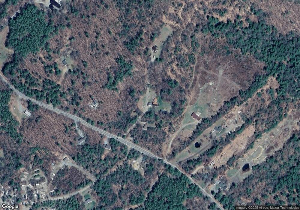
Map
Nearby Homes
- 5 Ferry Rd
- 31 Rays Way
- 29 Kona Farm Rd
- 21 Orton Ln
- 27 First Point Rd
- 11 Geery Ln
- 16 Long Island Rd
- 244 Wentworth Shores Rd
- 41 Saint Gallen St
- 122 Toltec Point Rd
- 00 Grande St Unit 44
- 00 Beede Rd
- 203 Krainewood Dr
- 72 Sundorf St
- 00 Sundorf St Unit 117
- 122-001-002 Governor Wentworth Hwy
- 30 Leopards Leap
- 7 Lady Slipper Ln
- 16 Myrtle Dr
- 22 Tiger Trail
- 14 Mccormack Ln
- 33 Mccormack Ln
- 800 Moultonboro Neck Rd
- 816 Moultonboro Neck Rd
- 831 Moultonboro Neck Rd
- 782 Moultonboro Neck Rd
- 843 Moultonboro Neck Rd
- 23 Barrett Place
- 777 Moultonboro Neck Rd
- 817 Moultonboro Neck Rd
- 847 Moultonboro Neck Rd
- 20 Barrett Place
- 31 Barrett Place
- 0 Barrett Place
- 0 Barrett Place Unit 4164749
- 0 Barrett Place Unit 2767474
- 770 Moultonboro Neck Rd
- 861 Moultonboro Neck Rd
- 30 Ferry Rd
- 10 Quayside Yacht Club