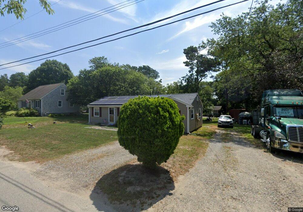
20 Meadowlark Dr Wareham, MA 02571
Estimated Value: $420,000 - $437,000
3
Beds
2
Baths
984
Sq Ft
$436/Sq Ft
Est. Value
About This Home
This home is located at 20 Meadowlark Dr, Wareham, MA 02571 and is currently estimated at $428,838, approximately $435 per square foot. 20 Meadowlark Dr is a home located in Plymouth County.
Ownership History
Date
Name
Owned For
Owner Type
Purchase Details
Closed on
Apr 18, 2006
Sold by
Bachant William P
Bought by
Alfonso Michael D
Current Estimated Value
Home Financials for this Owner
Home Financials are based on the most recent Mortgage that was taken out on this home.
Original Mortgage
$188,000
Outstanding Balance
$107,537
Interest Rate
6.28%
Mortgage Type
Purchase Money Mortgage
Estimated Equity
$321,301
Purchase Details
Closed on
Nov 16, 2004
Sold by
Shepardson Ellen C
Bought by
Bachant William P
Home Financials for this Owner
Home Financials are based on the most recent Mortgage that was taken out on this home.
Original Mortgage
$191,776
Interest Rate
5.75%
Mortgage Type
Purchase Money Mortgage
Create a Home Valuation Report for This Property
The Home Valuation Report is an in-depth analysis detailing your home's value as well as a comparison with similar homes in the area
Purchase History
| Date | Buyer | Sale Price | Title Company |
|---|---|---|---|
| Alfonso Michael D | $235,000 | -- | |
| Alfonso Michael D | $235,000 | -- | |
| Bachant William P | $169,900 | -- | |
| Bachant William P | $169,900 | -- |
Source: Public Records
Mortgage History
| Date | Status | Borrower | Loan Amount |
|---|---|---|---|
| Open | Bachant William P | $188,000 | |
| Closed | Bachant William P | $23,500 | |
| Closed | Bachant William P | $188,000 | |
| Previous Owner | Bachant William P | $191,776 |
Source: Public Records
Tax History Compared to Growth
Tax History
| Year | Tax Paid | Tax Assessment Tax Assessment Total Assessment is a certain percentage of the fair market value that is determined by local assessors to be the total taxable value of land and additions on the property. | Land | Improvement |
|---|---|---|---|---|
| 2025 | $3,404 | $326,700 | $110,100 | $216,600 |
| 2024 | $3,478 | $309,700 | $86,100 | $223,600 |
| 2023 | $3,133 | $277,100 | $78,200 | $198,900 |
| 2022 | $3,133 | $237,700 | $78,200 | $159,500 |
| 2021 | $3,098 | $230,300 | $78,200 | $152,100 |
| 2020 | $2,889 | $217,900 | $78,200 | $139,700 |
| 2019 | $2,686 | $202,100 | $75,500 | $126,600 |
| 2018 | $2,538 | $186,200 | $75,500 | $110,700 |
| 2017 | $2,406 | $178,900 | $75,500 | $103,400 |
| 2016 | $2,197 | $162,400 | $73,300 | $89,100 |
| 2015 | $2,123 | $162,400 | $73,300 | $89,100 |
| 2014 | $2,079 | $161,800 | $69,700 | $92,100 |
Source: Public Records
Map
Nearby Homes
- 2697 Cranberry Hwy Unit 21
- 2697 Cranberry Hwy Unit 28
- 2711 Cranberry Hwy
- 35 Willard St
- 156 Sandwich Rd
- 13 Cherry St
- 6 Gilbert Way
- 2645 Cranberry Hwy Unit A
- 2 Oakdale St
- 12 Linwood Ave
- 10 Oak St
- 110 Mayflower Ridge Dr
- 2838 Cranberry Hwy
- 45 Main St Unit 38
- 124 Minot Ave Unit 1
- 62 High St
- 7 Knowles Ave
- 437 Main St
- 9 Old Glen Charlie Rd
- 1 Chapel Ln
- 18 Meadowlark Dr
- 16 Meadowlark Dr
- 15 Meadowlark Dr
- 17 Meadowlark Dr
- 5 Mallard Rd
- 0 Meadowlark Dr Unit 7B
- 3 Mallard Rd
- 22 Meadowlark Dr
- 13 Meadowlark Dr
- 7 Mallard Rd
- 4 Whipoorwill Way
- 4 Whippoorwill Way
- 3 Partridge Path
- 4 Partridge Path
- 19 Meadowlark Dr
- 24 Meadowlark Dr
- 10 Whippoorwill Way
- 9 Mallard Rd
- 10 Whipoorwill Way
- 13 Whipoorwill Way