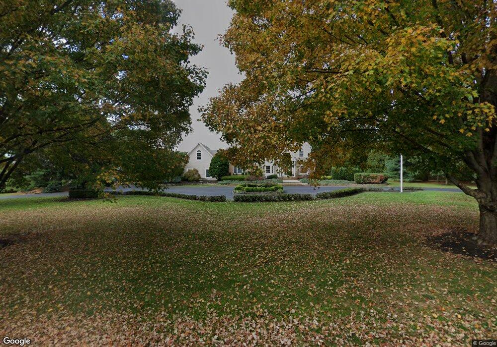
20 Mine Brook Rd Colts Neck, NJ 07722
Estimated Value: $2,218,000 - $2,570,000
5
Beds
5
Baths
5,045
Sq Ft
$468/Sq Ft
Est. Value
About This Home
This home is located at 20 Mine Brook Rd, Colts Neck, NJ 07722 and is currently estimated at $2,362,078, approximately $468 per square foot. 20 Mine Brook Rd is a home with nearby schools including Conover Road School, Cedar Drive Middle School, and Colts Neck High School.
Ownership History
Date
Name
Owned For
Owner Type
Purchase Details
Closed on
Nov 18, 2004
Sold by
Wagstaff John
Bought by
Scott Robert and Scott Laura
Current Estimated Value
Purchase Details
Closed on
Mar 31, 1999
Sold by
Gamarello Martin
Bought by
Wagstaff John and Wagstaff Kim
Home Financials for this Owner
Home Financials are based on the most recent Mortgage that was taken out on this home.
Original Mortgage
$625,000
Interest Rate
6.78%
Mortgage Type
Purchase Money Mortgage
Create a Home Valuation Report for This Property
The Home Valuation Report is an in-depth analysis detailing your home's value as well as a comparison with similar homes in the area
Home Values in the Area
Average Home Value in this Area
Purchase History
| Date | Buyer | Sale Price | Title Company |
|---|---|---|---|
| Scott Robert | $1,700,000 | -- | |
| Wagstaff John | $785,000 | -- |
Source: Public Records
Mortgage History
| Date | Status | Borrower | Loan Amount |
|---|---|---|---|
| Previous Owner | Wagstaff John | $625,000 |
Source: Public Records
Tax History Compared to Growth
Tax History
| Year | Tax Paid | Tax Assessment Tax Assessment Total Assessment is a certain percentage of the fair market value that is determined by local assessors to be the total taxable value of land and additions on the property. | Land | Improvement |
|---|---|---|---|---|
| 2025 | $25,641 | $1,787,500 | $690,900 | $1,096,600 |
| 2024 | $23,119 | $1,720,900 | $690,900 | $1,030,000 |
| 2023 | $23,119 | $1,485,800 | $512,200 | $973,600 |
| 2022 | $22,687 | $1,362,000 | $455,000 | $907,000 |
| 2021 | $22,687 | $1,315,900 | $455,000 | $860,900 |
| 2020 | $20,464 | $1,160,100 | $330,000 | $830,100 |
| 2019 | $20,188 | $1,146,400 | $330,000 | $816,400 |
| 2018 | $20,168 | $1,136,200 | $330,000 | $806,200 |
| 2017 | $19,919 | $1,126,000 | $330,000 | $796,000 |
| 2016 | $19,489 | $1,125,900 | $335,000 | $790,900 |
| 2015 | $19,441 | $1,120,500 | $350,000 | $770,500 |
| 2014 | $18,705 | $1,108,800 | $425,000 | $683,800 |
Source: Public Records
Map
Nearby Homes
- 0 Hominy Hill Rd
- 5 Pheasant Rd
- 24 Willow Lake Dr
- 152 Bucks Mill Rd
- 40 New St
- 97 Stone Hill Rd
- 10 Driftwood Ln
- 4 Brookside Dr
- 8 Culpeper Key
- 39 Primrose Ln
- 2 Blacksmith Pass
- 4 Queens Pass
- 4 Oxford Key
- 188 Five Points Rd
- 10 Nicholson Key
- 6 Lafayette Key Unit 143
- 32 Joysan Terrace
- 73 Topaz Dr
- 16 Kensington Pass
- 8 Holling Rd
- 16 Mine Brook Rd
- 15 Mine Brook Rd
- 24 Mine Brook Rd
- 28 Mine Brook Rd
- 37 Mine Brook Rd
- 7 Mine Brook Rd
- 32 Mine Brook Rd
- 176 Route 537
- 8 Mine Brook Rd
- 32 Burki Place
- 24 Bucks Mill Rd
- 5 Manor Rd
- 188 County Road 537 W
- 176 County Road 537 W
- 40 Mine Brook Rd
- 8 Manor Rd
- 36 Mine Brook Rd
- 44 Mine Brook Rd
- 57 Route 537
- 60 Mine Brook Rd