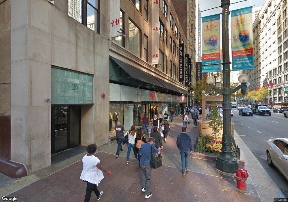
20 N State St, Unit 814 Chicago, IL 60602
The Loop NeighborhoodEstimated Value: $220,000 - $232,000
1
Bed
--
Bath
530
Sq Ft
$428/Sq Ft
Est. Value
About This Home
This home is located at 20 N State St Unit 814, Chicago, IL 60602 and is currently estimated at $226,647, approximately $427 per square foot. 20 N State St Unit 814 is a home located in Cook County with nearby schools including South Loop Elementary School, Wendell Phillips Academy High School, and Chicago International Charter School.
Ownership History
Date
Name
Owned For
Owner Type
Purchase Details
Closed on
Jun 8, 2017
Sold by
Amy Bruning Jonathan and Amy Bninmg
Bought by
Lawrence Amy
Current Estimated Value
Home Financials for this Owner
Home Financials are based on the most recent Mortgage that was taken out on this home.
Original Mortgage
$137,946
Outstanding Balance
$114,009
Interest Rate
4.05%
Mortgage Type
New Conventional
Estimated Equity
$112,638
Purchase Details
Closed on
May 13, 2005
Sold by
Gray Stephen C and Leigh Susan A
Bought by
Bruning Jonathan and Bruning Amy
Home Financials for this Owner
Home Financials are based on the most recent Mortgage that was taken out on this home.
Original Mortgage
$166,700
Interest Rate
5.62%
Mortgage Type
Purchase Money Mortgage
Purchase Details
Closed on
Jul 10, 2003
Sold by
Smithfield Properties Xxiii Llc
Bought by
Kass Alan
Create a Home Valuation Report for This Property
The Home Valuation Report is an in-depth analysis detailing your home's value as well as a comparison with similar homes in the area
Home Values in the Area
Average Home Value in this Area
Purchase History
| Date | Buyer | Sale Price | Title Company |
|---|---|---|---|
| Lawrence Amy | -- | Chicago Title | |
| Bruning Jonathan | $175,500 | Cst | |
| Kass Alan | $128,000 | Near North National Title Co |
Source: Public Records
Mortgage History
| Date | Status | Borrower | Loan Amount |
|---|---|---|---|
| Open | Lawrence Amy | $137,946 | |
| Previous Owner | Bruning Jonathan | $166,700 |
Source: Public Records
Tax History
| Year | Tax Paid | Tax Assessment Tax Assessment Total Assessment is a certain percentage of the fair market value that is determined by local assessors to be the total taxable value of land and additions on the property. | Land | Improvement |
|---|---|---|---|---|
| 2025 | $3,252 | $18,341 | $5,044 | $13,297 |
| 2024 | $3,252 | $18,341 | $5,044 | $13,297 |
| 2023 | $3,135 | $18,050 | $4,066 | $13,984 |
| 2022 | $3,135 | $18,050 | $4,066 | $13,984 |
| 2021 | $3,080 | $18,048 | $4,065 | $13,983 |
| 2020 | $2,016 | $11,826 | $3,684 | $8,142 |
| 2019 | $1,977 | $12,880 | $3,684 | $9,196 |
| 2018 | $1,942 | $12,880 | $3,684 | $9,196 |
| 2017 | $2,070 | $12,599 | $3,049 | $9,550 |
| 2016 | $2,120 | $12,599 | $3,049 | $9,550 |
| 2015 | $1,920 | $12,599 | $3,049 | $9,550 |
| 2014 | $1,746 | $11,458 | $2,807 | $8,651 |
| 2013 | $1,701 | $11,458 | $2,807 | $8,651 |
Source: Public Records
About This Building
Map
Nearby Homes
- 20 N State St Unit 1014
- 20 N State St Unit 801
- 20 N State St Unit 703
- 8 E Randolph St Unit 3108
- 8 E Randolph St Unit 1401
- 8 W Monroe St Unit P-103
- 8 W Monroe St Unit 1410
- 8 W Monroe St Unit 1508
- 8 W Monroe St Unit 607
- 8 W Monroe St Unit P-94
- 8 W Monroe St Unit 507
- 130 N Garland Ct Unit 8-17
- 130 N Garland Ct Unit 1405
- 130 N Garland Ct Unit 7-42
- 130 N Garland Ct Unit 4902
- 130 N Garland Ct Unit 1406
- 130 N Garland Ct Unit 3702
- 130 N Garland Ct Unit 2304
- 130 N Garland Ct Unit 5-73
- 130 N Garland Ct Unit 3403
- 20 N State St Unit 707
- 20 N State St Unit 1011
- 20 N State St Unit 1008
- 20 N State St Unit 1006
- 20 N State St Unit 1005
- 20 N State St Unit 1001
- 20 N State St Unit 912
- 20 N State St Unit 911
- 20 N State St Unit 907
- 20 N State St Unit 906
- 20 N State St Unit 813
- 20 N State St Unit 812
- 20 N State St Unit 811
- 20 N State St Unit 803
- 20 N State St Unit 714
- 20 N State St Unit 713
- 20 N State St Unit 613
- 20 N State St Unit 709
- 20 N State St Unit 705
- 20 N State St Unit 704
Your Personal Tour Guide
Ask me questions while you tour the home.