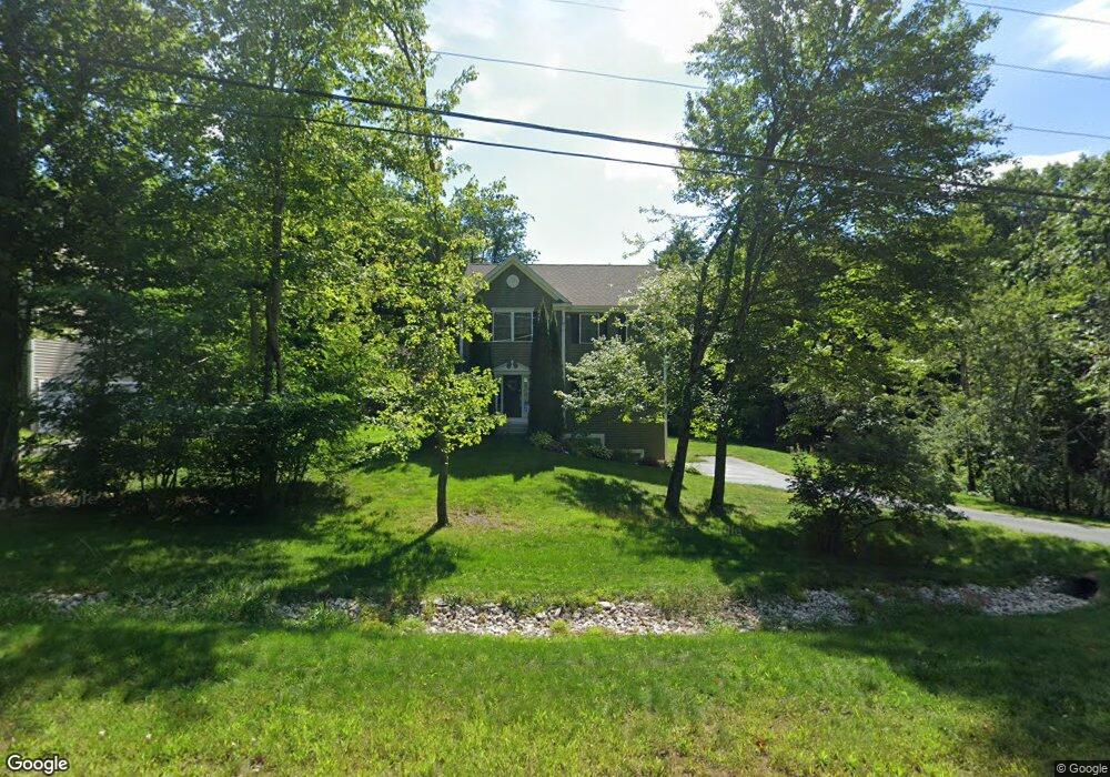
20 Prescott Rd Raymond, NH 03077
Estimated Value: $606,000 - $657,000
3
Beds
3
Baths
2,078
Sq Ft
$302/Sq Ft
Est. Value
About This Home
This home is located at 20 Prescott Rd, Raymond, NH 03077 and is currently estimated at $627,419, approximately $301 per square foot. 20 Prescott Rd is a home with nearby schools including Lamprey River Elementary School, Iber Holmes Gove Middle School, and Raymond High School.
Ownership History
Date
Name
Owned For
Owner Type
Purchase Details
Closed on
Sep 30, 2011
Sold by
Blackbriar Woods Llc
Bought by
Buck William Thomas and Buck Angela Joyce
Current Estimated Value
Home Financials for this Owner
Home Financials are based on the most recent Mortgage that was taken out on this home.
Original Mortgage
$265,168
Outstanding Balance
$181,290
Interest Rate
4.15%
Mortgage Type
Purchase Money Mortgage
Estimated Equity
$446,129
Create a Home Valuation Report for This Property
The Home Valuation Report is an in-depth analysis detailing your home's value as well as a comparison with similar homes in the area
Home Values in the Area
Average Home Value in this Area
Purchase History
| Date | Buyer | Sale Price | Title Company |
|---|---|---|---|
| Buck William Thomas | $275,400 | -- |
Source: Public Records
Mortgage History
| Date | Status | Borrower | Loan Amount |
|---|---|---|---|
| Open | Buck William Thomas | $265,168 | |
| Previous Owner | Buck William Thomas | $600,000 |
Source: Public Records
Tax History Compared to Growth
Tax History
| Year | Tax Paid | Tax Assessment Tax Assessment Total Assessment is a certain percentage of the fair market value that is determined by local assessors to be the total taxable value of land and additions on the property. | Land | Improvement |
|---|---|---|---|---|
| 2024 | $8,418 | $384,200 | $90,400 | $293,800 |
| 2023 | $7,961 | $384,200 | $90,400 | $293,800 |
| 2022 | $7,027 | $384,200 | $90,400 | $293,800 |
| 2021 | $7,112 | $384,200 | $90,400 | $293,800 |
| 2020 | $7,480 | $285,500 | $64,300 | $221,200 |
| 2019 | $7,591 | $285,500 | $64,300 | $221,200 |
| 2018 | $7,523 | $285,500 | $64,300 | $221,200 |
| 2017 | $6,909 | $285,500 | $64,300 | $221,200 |
| 2016 | $6,778 | $285,500 | $64,300 | $221,200 |
| 2015 | $6,596 | $263,000 | $64,300 | $198,700 |
| 2014 | $6,399 | $263,000 | $64,300 | $198,700 |
| 2013 | $6,217 | $263,000 | $64,300 | $198,700 |
Source: Public Records
Map
Nearby Homes
- 20 Locksley Ln
- 39 Prescott Rd
- 18 Nottingham Rd
- 6 Pulaski Dr
- 5 Ham Rd
- 17 Lilac Ct
- 18 Lilac Ct
- 27 Old State Rd
- 7 Moulton St
- 91 Fremont Rd
- 209 New Hampshire 27
- 9 Abbey Rd
- 26 Barrell Run Rd
- 11 Evelyn Ave
- 14 Mica Dr Unit 3
- 10 Mica Dr Unit 1
- 16 Mica Dr Unit 4
- 20 Mica Dr Unit 6
- 209 Pleasant St
- 12 Tarah Way