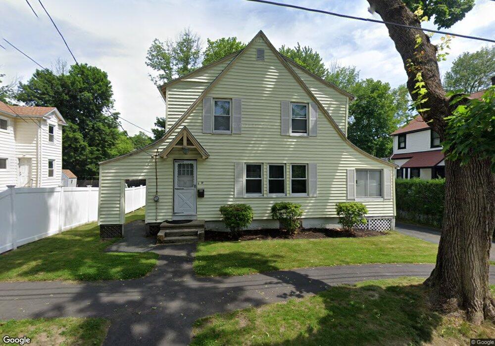
20 Radmore St Worcester, MA 01602
Tatnuck NeighborhoodEstimated Value: $393,000 - $419,842
3
Beds
1
Bath
1,240
Sq Ft
$327/Sq Ft
Est. Value
About This Home
This home is located at 20 Radmore St, Worcester, MA 01602 and is currently estimated at $405,211, approximately $326 per square foot. 20 Radmore St is a home located in Worcester County with nearby schools including Tatnuck Magnet School, Chandler Magnet, and Jacob Hiatt Magnet School.
Ownership History
Date
Name
Owned For
Owner Type
Purchase Details
Closed on
Aug 7, 2012
Sold by
Shanhan Mellisa and Shanhan William
Bought by
Shanhan Mellisa
Current Estimated Value
Purchase Details
Closed on
Dec 12, 2005
Sold by
Grocut Janice L and Grocut John A
Bought by
Shanahan Melissa
Home Financials for this Owner
Home Financials are based on the most recent Mortgage that was taken out on this home.
Original Mortgage
$178,400
Interest Rate
6.17%
Mortgage Type
Purchase Money Mortgage
Purchase Details
Closed on
Sep 21, 1993
Sold by
Sosny David A and Sosny Kathleen
Bought by
Grocut John A and Grocut Janice
Home Financials for this Owner
Home Financials are based on the most recent Mortgage that was taken out on this home.
Original Mortgage
$89,800
Interest Rate
7.16%
Mortgage Type
Purchase Money Mortgage
Create a Home Valuation Report for This Property
The Home Valuation Report is an in-depth analysis detailing your home's value as well as a comparison with similar homes in the area
Home Values in the Area
Average Home Value in this Area
Purchase History
| Date | Buyer | Sale Price | Title Company |
|---|---|---|---|
| Shanhan Mellisa | -- | -- | |
| Shanahan Melissa | $223,000 | -- | |
| Grocut John A | $94,000 | -- |
Source: Public Records
Mortgage History
| Date | Status | Borrower | Loan Amount |
|---|---|---|---|
| Previous Owner | Shanahan Melissa | $178,400 | |
| Previous Owner | Grocut John A | $89,800 | |
| Previous Owner | Grocut John A | $57,000 |
Source: Public Records
Tax History
| Year | Tax Paid | Tax Assessment Tax Assessment Total Assessment is a certain percentage of the fair market value that is determined by local assessors to be the total taxable value of land and additions on the property. | Land | Improvement |
|---|---|---|---|---|
| 2025 | $4,337 | $328,800 | $117,800 | $211,000 |
| 2024 | $4,188 | $304,600 | $117,800 | $186,800 |
| 2023 | $4,007 | $279,400 | $102,500 | $176,900 |
| 2022 | $3,670 | $241,300 | $82,000 | $159,300 |
| 2021 | $3,476 | $213,500 | $65,600 | $147,900 |
| 2020 | $3,339 | $196,400 | $65,600 | $130,800 |
| 2019 | $3,211 | $178,400 | $59,000 | $119,400 |
| 2018 | $3,220 | $170,300 | $59,000 | $111,300 |
| 2017 | $3,104 | $161,500 | $59,000 | $102,500 |
| 2016 | $3,017 | $146,400 | $43,000 | $103,400 |
| 2015 | $2,938 | $146,400 | $43,000 | $103,400 |
| 2014 | $2,861 | $146,400 | $43,000 | $103,400 |
Source: Public Records
Map
Nearby Homes
- 12 Cardinal Rd
- 1029 Pleasant St Unit 19
- 8 Modred Ct
- 23 Tiverton Pkwy
- 18 Merlin Ct Unit 18
- 118 Beaconsfield Rd
- 47R Yarnie Unit 3A
- 47R Yarnie Unit 1B
- 47R Yarnie Unit 2B
- 47R Yarnie Unit 4B
- 47R Yarnie Unit 8B
- 47R Yarnie Unit 5A
- 47R Yarnie Unit 6B
- 47R Yarnie Unit 4A
- 47R Yarnie Unit 1A
- 47R Yarnie Unit 9
- 47R Yarnie Unit 8A
- 47R Yarnie Unit 6A
- 47R Yarnie Unit 7A
- 47R Yarnie Unit 5B
Your Personal Tour Guide
Ask me questions while you tour the home.