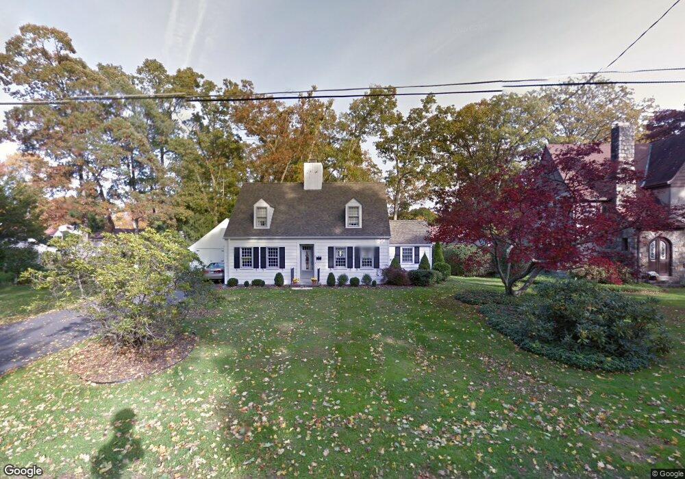
20 Ridge Rd Danbury, CT 06810
Estimated Value: $518,000 - $916,000
3
Beds
2
Baths
1,732
Sq Ft
$364/Sq Ft
Est. Value
About This Home
This home is located at 20 Ridge Rd, Danbury, CT 06810 and is currently estimated at $630,668, approximately $364 per square foot. 20 Ridge Rd is a home located in Fairfield County with nearby schools including Mill Ridge Primary School, Rogers Park Middle School, and Danbury High School.
Ownership History
Date
Name
Owned For
Owner Type
Purchase Details
Closed on
Nov 25, 2024
Sold by
Aronson Richard J
Bought by
Aronson Ft
Current Estimated Value
Purchase Details
Closed on
Dec 11, 2002
Sold by
Martin Meredith
Bought by
Fossi Daniel and Fossi Barbara
Purchase Details
Closed on
Jul 7, 1969
Bought by
Aronson Richard J and Aronson Maureen M
Create a Home Valuation Report for This Property
The Home Valuation Report is an in-depth analysis detailing your home's value as well as a comparison with similar homes in the area
Home Values in the Area
Average Home Value in this Area
Purchase History
| Date | Buyer | Sale Price | Title Company |
|---|---|---|---|
| Aronson Ft | -- | None Available | |
| Aronson Ft | -- | None Available | |
| Fossi Daniel | $170,000 | -- | |
| Aronson Richard J | $32,000 | -- | |
| Fossi Daniel | $170,000 | -- |
Source: Public Records
Mortgage History
| Date | Status | Borrower | Loan Amount |
|---|---|---|---|
| Previous Owner | Aronson Richard J | $32,063 | |
| Previous Owner | Aronson Richard J | $112,000 | |
| Previous Owner | Aronson Richard J | $131,799 |
Source: Public Records
Tax History Compared to Growth
Tax History
| Year | Tax Paid | Tax Assessment Tax Assessment Total Assessment is a certain percentage of the fair market value that is determined by local assessors to be the total taxable value of land and additions on the property. | Land | Improvement |
|---|---|---|---|---|
| 2025 | $6,427 | $257,180 | $78,540 | $178,640 |
| 2024 | $6,285 | $257,180 | $78,540 | $178,640 |
| 2023 | $6,000 | $257,180 | $78,540 | $178,640 |
| 2022 | $5,684 | $201,400 | $75,400 | $126,000 |
| 2021 | $5,559 | $201,400 | $75,400 | $126,000 |
| 2020 | $5,559 | $201,400 | $75,400 | $126,000 |
| 2019 | $5,559 | $201,400 | $75,400 | $126,000 |
| 2018 | $5,559 | $201,400 | $75,400 | $126,000 |
| 2017 | $5,376 | $185,700 | $71,800 | $113,900 |
| 2016 | $5,326 | $185,700 | $71,800 | $113,900 |
| 2015 | $5,248 | $185,700 | $71,800 | $113,900 |
| 2014 | $5,125 | $185,700 | $71,800 | $113,900 |
Source: Public Records
Map
Nearby Homes
- 5 Shannon Ridge
- 206 Park Ave Unit 206
- 30 Myrtle Ave
- 12 Scuppo Rd Unit H45
- 12 Scuppo Rd Unit F9
- 43 Linron Dr
- 24 Lake Ave
- 25 Crofut St
- 95 Park Ave Unit 14
- 93 Park Ave Unit 1704
- 79 Park Ave Unit 308
- 51 Park Ave Unit 3-15
- 6 Hakim St Unit 2-6
- 40 Park Ave
- 4 Staples St
- 5 Staples St
- 23 Scuppo Rd Unit 5-6
- 17 Fairview Dr Unit 3
- 44 Pleasant St Unit 21
- 56 Pleasant St