20 Rockway Ave Springfield, OH 45506
Cedar Hills/Broadview NeighborhoodEstimated Value: $296,030 - $360,000
4
Beds
2
Baths
1,794
Sq Ft
$185/Sq Ft
Est. Value
About This Home
This home is located at 20 Rockway Ave, Springfield, OH 45506 and is currently estimated at $332,758, approximately $185 per square foot. 20 Rockway Ave is a home located in Clark County with nearby schools including Shawnee Middle School/High School, Clark Preparatory Academy, and Springfield Christian School.
Ownership History
Date
Name
Owned For
Owner Type
Purchase Details
Closed on
Sep 22, 2016
Sold by
Meyers Michael D and Meyers Rebecca L
Bought by
Boddy Jeff G and Boddy Judith M
Current Estimated Value
Home Financials for this Owner
Home Financials are based on the most recent Mortgage that was taken out on this home.
Original Mortgage
$198,000
Outstanding Balance
$158,155
Interest Rate
3.43%
Mortgage Type
VA
Estimated Equity
$174,603
Purchase Details
Closed on
Aug 31, 1999
Sold by
Bouslog Timothy W and Bouslog Nancy E
Bought by
Meyers Michael D and Meyers Rebecca L
Home Financials for this Owner
Home Financials are based on the most recent Mortgage that was taken out on this home.
Original Mortgage
$137,750
Interest Rate
7.59%
Purchase Details
Closed on
Sep 3, 1993
Create a Home Valuation Report for This Property
The Home Valuation Report is an in-depth analysis detailing your home's value as well as a comparison with similar homes in the area
Home Values in the Area
Average Home Value in this Area
Purchase History
| Date | Buyer | Sale Price | Title Company |
|---|---|---|---|
| Boddy Jeff G | $173,000 | None Available | |
| Meyers Michael D | $145,000 | -- | |
| -- | -- | -- |
Source: Public Records
Mortgage History
| Date | Status | Borrower | Loan Amount |
|---|---|---|---|
| Open | Boddy Jeff G | $198,000 | |
| Previous Owner | Meyers Michael D | $137,750 |
Source: Public Records
Tax History Compared to Growth
Tax History
| Year | Tax Paid | Tax Assessment Tax Assessment Total Assessment is a certain percentage of the fair market value that is determined by local assessors to be the total taxable value of land and additions on the property. | Land | Improvement |
|---|---|---|---|---|
| 2024 | $3,486 | $71,380 | $12,420 | $58,960 |
| 2023 | $3,486 | $71,380 | $12,420 | $58,960 |
| 2022 | $3,458 | $71,380 | $12,420 | $58,960 |
| 2021 | $2,994 | $55,330 | $9,630 | $45,700 |
| 2020 | $3,018 | $55,330 | $9,630 | $45,700 |
| 2019 | $3,066 | $55,330 | $9,630 | $45,700 |
| 2018 | $2,534 | $45,120 | $8,750 | $36,370 |
| 2017 | $2,597 | $45,122 | $8,750 | $36,372 |
| 2016 | $2,343 | $45,122 | $8,750 | $36,372 |
| 2015 | $2,350 | $43,736 | $8,750 | $34,986 |
| 2014 | $2,356 | $43,736 | $8,750 | $34,986 |
| 2013 | $2,047 | $43,736 | $8,750 | $34,986 |
Source: Public Records
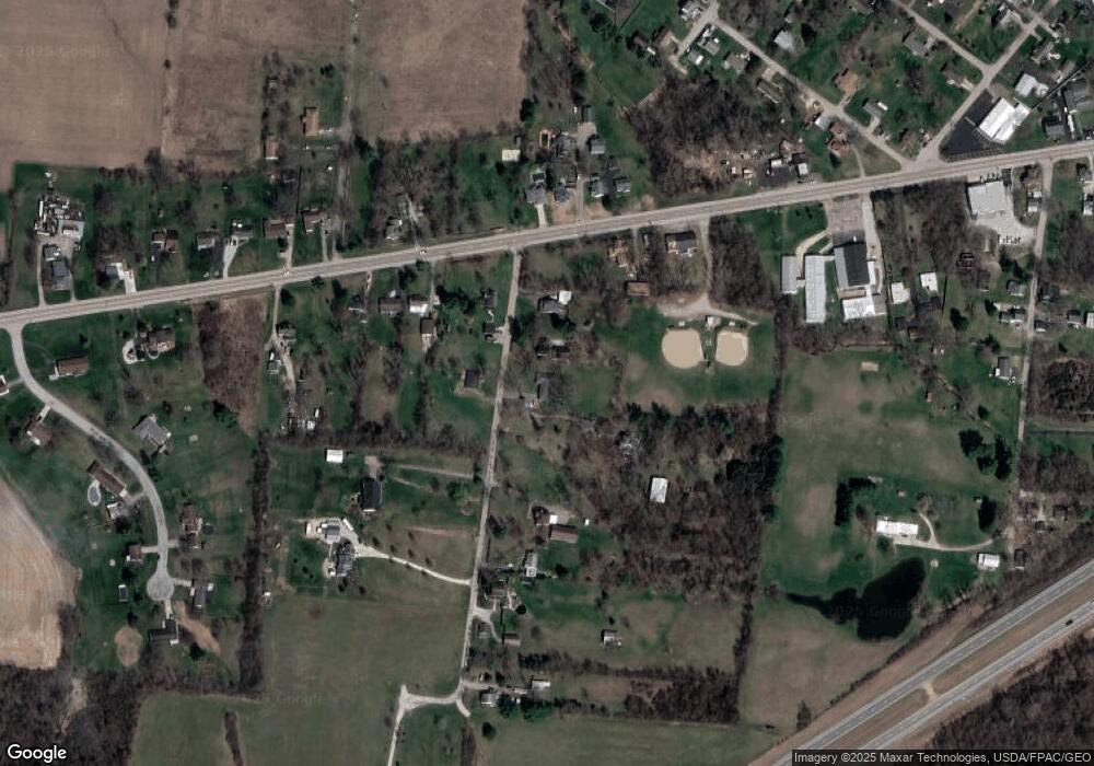
Map
Nearby Homes
- 3721 W National Rd
- 224 E Downey Dr
- 323 Saint Paul Ave
- 124 Old Mill Rd
- 4461 New Carlisle Pike
- 3587 Lower Valley Pike
- 245 Gordon Rd
- 570 Aberfelda Dr
- 709 Shrine Rd
- 201 Beech Dr
- 5095 W National Rd
- 190 Oakridge Dr
- 5171 New Carlisle Pike
- 3161 Dayton Springfield Rd
- 3161 Dayton Rd
- 1290 Red Oaks Cir
- 0 Upper Valley Pike
- 2805 Cottonwood Dr
- 361 Upper Valley Pike
- 16 Rockway Ave
- 10 Rockway Ave
- 13 Rockway Ave
- 11 Rockway Ave
- 24 Rockway Ave
- 102 Rockway Ave
- 3951 W National Rd
- 4049 W National Rd
- 110 Rockway Ave
- 3921 W National Rd
- 4067 W National Rd
- 3962 W National Rd
- 3990 W National Rd
- 3968 W National Rd
- 95 Rockway Ave
- 116 Rockway Ave
- 4083 W National Rd
- 4064 W National Rd
- 3964 W National Rd
- 3966 W National Rd