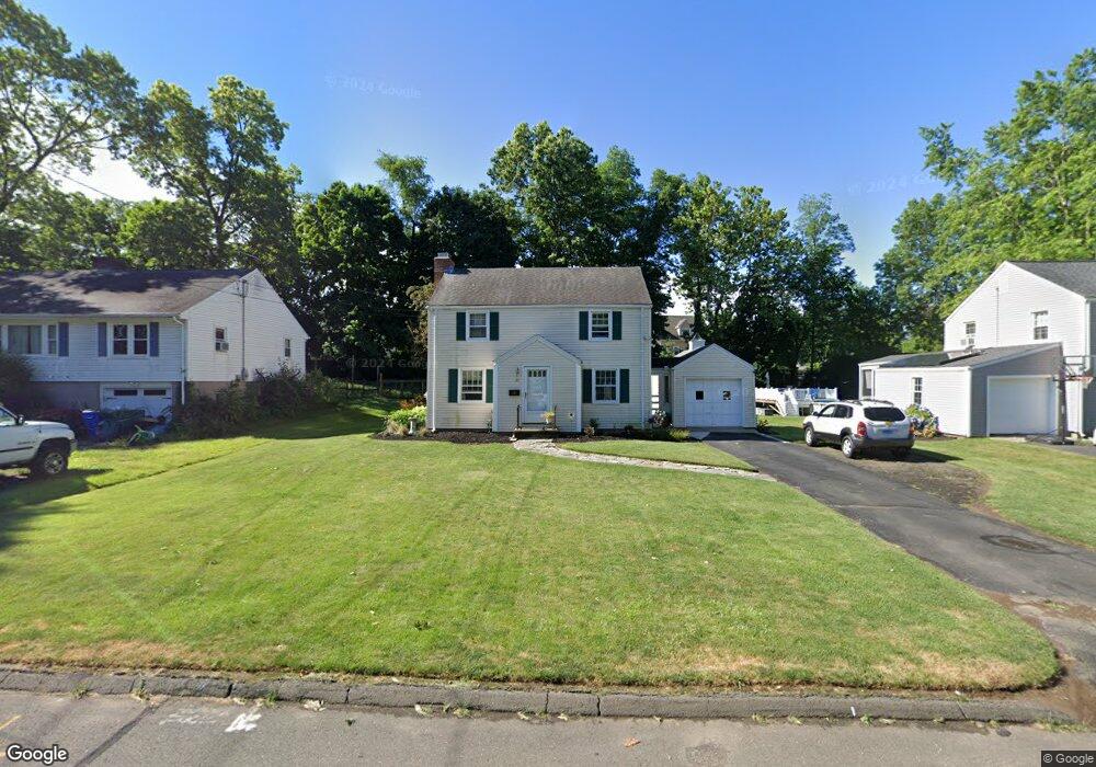
20 Toll Gate Rd Wethersfield, CT 06109
Estimated Value: $365,000 - $410,000
3
Beds
2
Baths
1,232
Sq Ft
$309/Sq Ft
Est. Value
About This Home
This home is located at 20 Toll Gate Rd, Wethersfield, CT 06109 and is currently estimated at $380,183, approximately $308 per square foot. 20 Toll Gate Rd is a home located in Hartford County with nearby schools including Samuel B. Webb Elementary School, Silas Deane Middle School, and Wethersfield High School.
Ownership History
Date
Name
Owned For
Owner Type
Purchase Details
Closed on
Feb 2, 2006
Sold by
Thornton Patrick M and Otis-Thornton Lisa
Bought by
Conn Jacqueline Ann
Current Estimated Value
Home Financials for this Owner
Home Financials are based on the most recent Mortgage that was taken out on this home.
Original Mortgage
$192,000
Interest Rate
6.31%
Purchase Details
Closed on
Jan 6, 2004
Sold by
Payer Donna B
Bought by
Thornton Patrick M and Otis-Thornton Lisa
Home Financials for this Owner
Home Financials are based on the most recent Mortgage that was taken out on this home.
Original Mortgage
$159,200
Interest Rate
5.86%
Purchase Details
Closed on
Jun 30, 1997
Sold by
Bedard Donald E
Bought by
Pinard Donna
Create a Home Valuation Report for This Property
The Home Valuation Report is an in-depth analysis detailing your home's value as well as a comparison with similar homes in the area
Home Values in the Area
Average Home Value in this Area
Purchase History
| Date | Buyer | Sale Price | Title Company |
|---|---|---|---|
| Conn Jacqueline Ann | $245,000 | -- | |
| Thornton Patrick M | $199,000 | -- | |
| Pinard Donna | $130,000 | -- |
Source: Public Records
Mortgage History
| Date | Status | Borrower | Loan Amount |
|---|---|---|---|
| Open | Pinard Donna | $182,344 | |
| Closed | Pinard Donna | $192,000 | |
| Previous Owner | Pinard Donna | $159,200 |
Source: Public Records
Tax History
| Year | Tax Paid | Tax Assessment Tax Assessment Total Assessment is a certain percentage of the fair market value that is determined by local assessors to be the total taxable value of land and additions on the property. | Land | Improvement |
|---|---|---|---|---|
| 2025 | $8,807 | $213,670 | $67,120 | $146,550 |
| 2024 | $5,935 | $137,320 | $58,100 | $79,220 |
| 2023 | $5,737 | $137,320 | $58,100 | $79,220 |
| 2022 | $5,641 | $137,320 | $58,100 | $79,220 |
| 2021 | $5,585 | $137,320 | $58,100 | $79,220 |
| 2020 | $5,588 | $137,320 | $58,100 | $79,220 |
| 2019 | $5,594 | $137,320 | $58,100 | $79,220 |
| 2018 | $5,681 | $139,300 | $58,600 | $80,700 |
| 2017 | $5,540 | $139,300 | $58,600 | $80,700 |
| 2016 | $5,369 | $139,300 | $58,600 | $80,700 |
| 2015 | $5,320 | $139,300 | $58,600 | $80,700 |
| 2014 | $5,118 | $139,300 | $58,600 | $80,700 |
Source: Public Records
Map
Nearby Homes
- 72 Concord Cir
- 1310 Berlin Turnpike Unit 223
- 97 Brussels Ave
- 19 Albert Ave
- 173 Timber Trail
- 273 Forest Dr
- 12 Bates Place
- 47 Forest Dr
- 20 Forest Dr
- 90 Goodwin Park Rd
- 208 Mountain St
- 116 Wells Farm Dr
- 43 Yale St
- 168 Hubbard Rd
- 219 Jordan Ln Unit 221
- 70 Stillman Rd
- 95 Harvard St
- 43 Marion St
- 299 Linnmoore St
- 62 Freeman St
- 26 Toll Gate Rd
- 14 Toll Gate Rd
- 32 Toll Gate Rd
- 269 Ridge Rd
- 265 Ridge Rd
- 21 Toll Gate Rd
- 40 Toll Gate Rd
- 275 Ridge Rd
- 275 Ridge Rd Unit 109
- 275 Ridge Rd Unit 107
- 275 Ridge Rd Unit 223
- 275 Ridge Rd Unit 215
- 275 Ridge Rd Unit 212
- 275 Ridge Rd Unit 2
- 275 Ridge Rd
- 275 Ridge Rd Unit 218
- 275 Ridge Rd Unit 111
- 275 Ridge Rd Unit 309
- 275 Ridge Rd Unit 203
- 275 Ridge Rd Unit 308
Your Personal Tour Guide
Ask me questions while you tour the home.