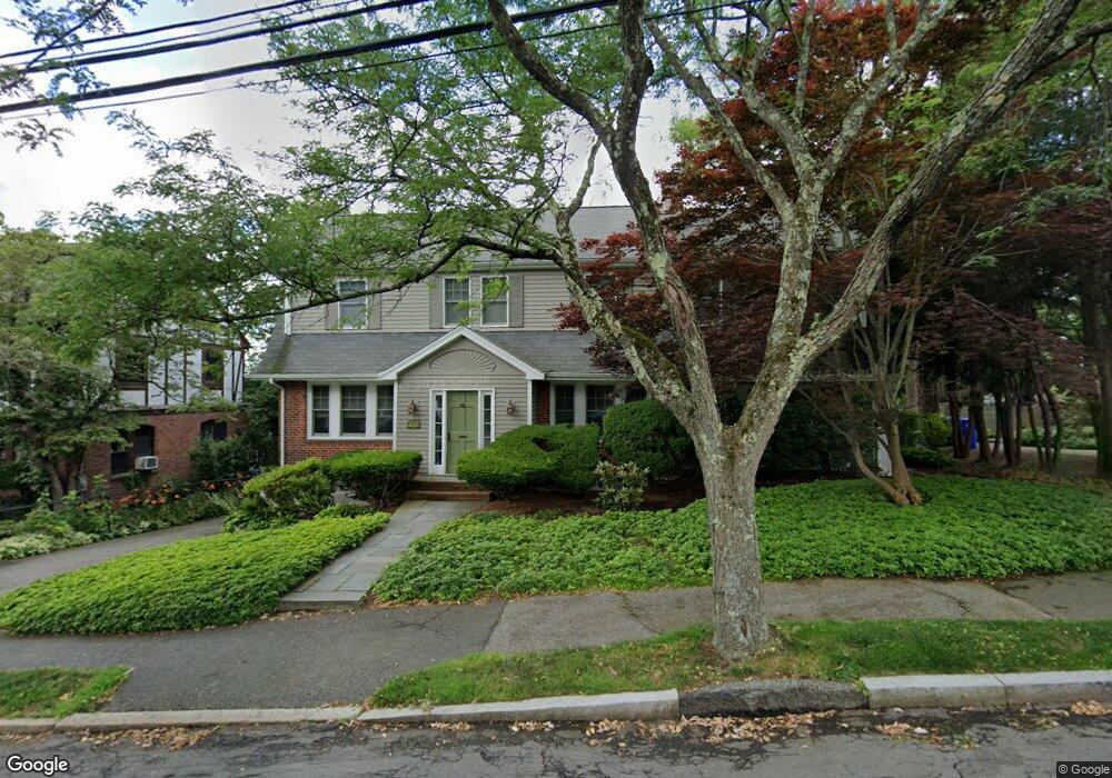
20 Walnut Hill Rd Chestnut Hill, MA 02467
South Brookline NeighborhoodEstimated Value: $1,577,030 - $1,953,000
4
Beds
4
Baths
2,459
Sq Ft
$714/Sq Ft
Est. Value
About This Home
This home is located at 20 Walnut Hill Rd, Chestnut Hill, MA 02467 and is currently estimated at $1,756,508, approximately $714 per square foot. 20 Walnut Hill Rd is a home located in Norfolk County with nearby schools including Baker School, Dexter School, and Holy Name Parish School.
Ownership History
Date
Name
Owned For
Owner Type
Purchase Details
Closed on
Jan 24, 2018
Sold by
Begelfer David I and Libby Bette A
Bought by
Bette Ann Libby T
Current Estimated Value
Create a Home Valuation Report for This Property
The Home Valuation Report is an in-depth analysis detailing your home's value as well as a comparison with similar homes in the area
Home Values in the Area
Average Home Value in this Area
Purchase History
| Date | Buyer | Sale Price | Title Company |
|---|---|---|---|
| Bette Ann Libby T | -- | -- |
Source: Public Records
Tax History Compared to Growth
Tax History
| Year | Tax Paid | Tax Assessment Tax Assessment Total Assessment is a certain percentage of the fair market value that is determined by local assessors to be the total taxable value of land and additions on the property. | Land | Improvement |
|---|---|---|---|---|
| 2025 | $12,953 | $1,312,400 | $682,800 | $629,600 |
| 2024 | $12,340 | $1,263,000 | $656,600 | $606,400 |
| 2023 | $11,660 | $1,169,500 | $532,400 | $637,100 |
| 2022 | $11,464 | $1,125,000 | $487,500 | $637,500 |
| 2021 | $11,922 | $1,216,500 | $487,500 | $729,000 |
| 2020 | $10,976 | $1,161,500 | $443,200 | $718,300 |
| 2019 | $10,365 | $1,106,200 | $422,100 | $684,100 |
| 2018 | $10,380 | $1,097,200 | $422,100 | $675,100 |
| 2017 | $10,227 | $1,035,100 | $398,200 | $636,900 |
| 2016 | $10,079 | $967,300 | $372,100 | $595,200 |
| 2015 | $9,655 | $904,000 | $347,800 | $556,200 |
| 2014 | $9,816 | $861,800 | $316,200 | $545,600 |
Source: Public Records
Map
Nearby Homes
- 173 South St
- 72 Wallis Rd
- 50 Bellingham Rd
- 91 Grove St
- 1125 W Roxbury Pkwy
- 83 Payson Rd
- 10 Hackensack Terrace
- 57 Broadlawn Park Unit 4B
- 21 Westgate Rd Unit 6
- 206 Allandale Rd Unit 3C
- 64 Bryon Rd Unit 1
- 44 Broadlawn Park Unit 22
- 42 Bryon Rd Unit 6
- 23 Westgate Rd Unit 6
- 701 Vfw Pkwy
- 232 Allandale Rd Unit 2D
- 104 Greaton Rd
- 168 Maple St
- 214 Allandale Rd Unit B
- 10 Burwell Rd
- 14 Walnut Hill Rd
- 17 Walnut Hill Rd
- 11 Walnut Hill Rd
- 09 Goodnough Rd
- 219 Grove St
- 11 Wallis Rd
- 17 Wallis Rd
- 229 Grove St
- 3 Goodnough Rd
- 26 Walnut Hill Rd
- 21 Wallis Rd
- 0 Walnut Hill Rd Unit 70932205
- 0 Walnut Hill Rd Unit 71073818
- 0 Walnut Hill Rd Unit 70958415
- 157 South St
- 32 Walnut Hill Rd
- 226 Grove St
- 151 South St
- 14 Wallis Rd
- 9 Goodnough Rd