20 Wheeler Rd Mashpee, MA 02649
Estimated Value: $1,093,000 - $1,680,451
5
Beds
4
Baths
5,000
Sq Ft
$297/Sq Ft
Est. Value
About This Home
This home is located at 20 Wheeler Rd, Mashpee, MA 02649 and is currently estimated at $1,485,363, approximately $297 per square foot. 20 Wheeler Rd is a home located in Barnstable County with nearby schools including Kenneth C. Coombs School, Quashnet School, and Mashpee Middle School.
Ownership History
Date
Name
Owned For
Owner Type
Purchase Details
Closed on
Jan 18, 2017
Sold by
Gangemi Pamela M
Bought by
Gangemi Ronald P
Current Estimated Value
Purchase Details
Closed on
Jun 24, 1993
Sold by
Tabit Anselmo E
Bought by
Bowman Ray and Bowman Barbara
Create a Home Valuation Report for This Property
The Home Valuation Report is an in-depth analysis detailing your home's value as well as a comparison with similar homes in the area
Purchase History
| Date | Buyer | Sale Price | Title Company |
|---|---|---|---|
| Gangemi Ronald P | -- | -- | |
| Bowman Ray | $50,000 | -- |
Source: Public Records
Mortgage History
| Date | Status | Borrower | Loan Amount |
|---|---|---|---|
| Previous Owner | Bowman Ray | $417,000 | |
| Previous Owner | Bowman Ray | $200,000 | |
| Previous Owner | Bowman Ray | $274,700 |
Source: Public Records
Tax History
| Year | Tax Paid | Tax Assessment Tax Assessment Total Assessment is a certain percentage of the fair market value that is determined by local assessors to be the total taxable value of land and additions on the property. | Land | Improvement |
|---|---|---|---|---|
| 2025 | $8,759 | $1,323,100 | $497,500 | $825,600 |
| 2024 | $8,026 | $1,248,200 | $452,300 | $795,900 |
| 2023 | $7,628 | $1,088,200 | $430,700 | $657,500 |
| 2022 | $7,617 | $932,300 | $385,200 | $547,100 |
| 2021 | $24,058 | $776,700 | $315,500 | $461,200 |
| 2020 | $6,711 | $753,400 | $303,400 | $450,000 |
| 2019 | $6,418 | $709,200 | $285,200 | $424,000 |
| 2018 | $6,079 | $685,600 | $285,200 | $400,400 |
| 2017 | $6,032 | $656,400 | $291,100 | $365,300 |
| 2016 | $5,872 | $635,500 | $291,100 | $344,400 |
| 2015 | $5,665 | $621,800 | $291,100 | $330,700 |
| 2014 | $5,778 | $615,300 | $285,500 | $329,800 |
Source: Public Records
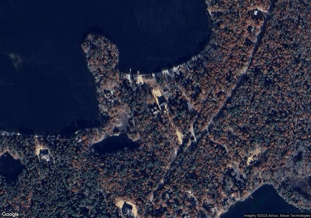
Map
Nearby Homes
- 83 Pond Cir
- 409 Currier Rd
- 26 Highland St
- 185 Wheeler Rd
- 66 Highland St
- 168 Ninigret Ave
- 163 Ninigret Ave
- 211 James Cir
- 9 Horseshoe Bend Way
- 160 Algonquin Ave
- 15 Pebble Beach Ave Unit 2005-103
- 15 Pebble Beach Ave
- 4 N Ridge Rd
- 4 N Ridge Rd Unit 431
- 6 Masters Ct
- 13 Pga Ln
- 54 Sassacus Rd
- 153 Leisure Green Dr
- 153 Leisure Green Dr Unit 749
- 1 Par Three Ct Unit 1
Your Personal Tour Guide
Ask me questions while you tour the home.