Estimated Value: $438,000 - $458,000
--
Bed
--
Bath
2,450
Sq Ft
$182/Sq Ft
Est. Value
About This Home
This home is located at 200 Elmer Rd, Jesup, GA 31545 and is currently estimated at $446,295, approximately $182 per square foot. 200 Elmer Rd is a home with nearby schools including Odum Elementary School, Martha Puckett Middle School, and Wayne County High School.
Ownership History
Date
Name
Owned For
Owner Type
Purchase Details
Closed on
Jun 19, 2013
Sold by
Mallard Jody D
Bought by
Mallard Brett A and Mallaro Jody D
Current Estimated Value
Purchase Details
Closed on
Mar 21, 2013
Sold by
Dunham John
Bought by
Dunham Dwight S and Mallard Jody D
Purchase Details
Closed on
Dec 1, 1995
Sold by
Dunham Dennis M
Bought by
Dunham Dwight S
Purchase Details
Closed on
Feb 1, 1995
Bought by
Dunham Dennis M
Purchase Details
Closed on
Aug 1, 1990
Purchase Details
Closed on
Sep 1, 1986
Purchase Details
Closed on
Jan 1, 1985
Create a Home Valuation Report for This Property
The Home Valuation Report is an in-depth analysis detailing your home's value as well as a comparison with similar homes in the area
Home Values in the Area
Average Home Value in this Area
Purchase History
| Date | Buyer | Sale Price | Title Company |
|---|---|---|---|
| Mallard Brett A | -- | -- | |
| Dunham Dwight S | -- | -- | |
| Dunham Dwight S | -- | -- | |
| Dunham Dennis M | $15,600 | -- | |
| -- | -- | -- | |
| -- | -- | -- | |
| -- | $18,000 | -- | |
| -- | $13,800 | -- |
Source: Public Records
Tax History Compared to Growth
Tax History
| Year | Tax Paid | Tax Assessment Tax Assessment Total Assessment is a certain percentage of the fair market value that is determined by local assessors to be the total taxable value of land and additions on the property. | Land | Improvement |
|---|---|---|---|---|
| 2024 | $4,290 | $166,938 | $5,162 | $161,776 |
| 2023 | $4,401 | $146,716 | $5,162 | $141,554 |
| 2022 | $3,570 | $118,405 | $5,162 | $113,243 |
| 2021 | $2,973 | $93,161 | $5,162 | $87,999 |
| 2020 | $3,081 | $93,306 | $5,307 | $87,999 |
| 2019 | $3,172 | $93,306 | $5,307 | $87,999 |
| 2018 | $3,172 | $93,306 | $5,307 | $87,999 |
| 2017 | $2,731 | $93,306 | $5,307 | $87,999 |
| 2016 | $2,642 | $93,306 | $5,307 | $87,999 |
| 2014 | $2,799 | $93,306 | $5,307 | $87,999 |
| 2013 | -- | $5,307 | $5,307 | $0 |
Source: Public Records
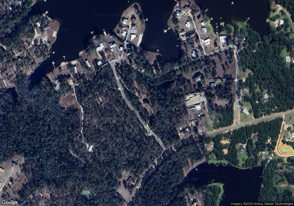
Map
Nearby Homes
- 438 Boardwalk Ave
- 192 Northshore Ave
- 200 Northshore Ave
- 88 Northshore Ave
- 17380 Lanes Bridge Rd
- 17614 Lanes Bridge Rd
- 177 Northshore Ave
- 128 Three C Rd
- 236 Three C Rd
- 2936 Madray Springs Rd
- 272 Three C Rd
- 300 Three C Rd
- 761 Addies Alley
- 11235 Lanes Bridge Rd
- 192 Hummingbird Ln
- 440 Arnold River Rd
- 92 Sparrow Ln
- 0 Old River Rd Unit 10329316
- 0 Oglethorpe Rd
- 330 Troy Pearson Rd