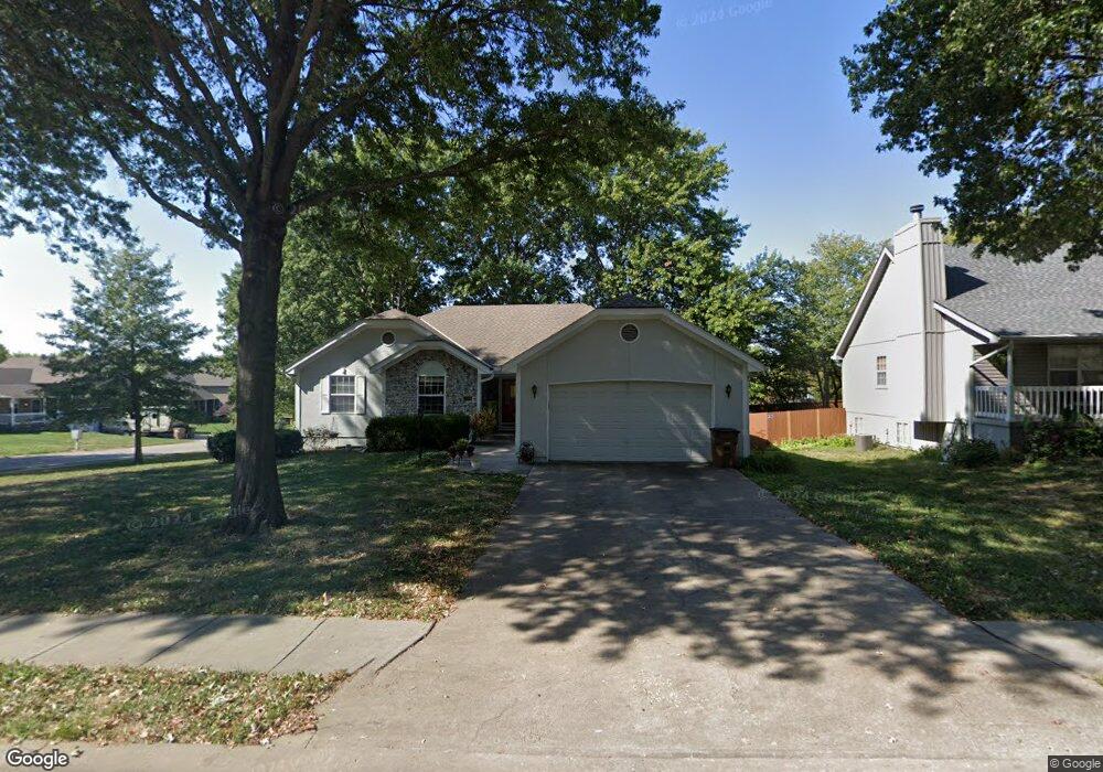
200 N Park Dr Raymore, MO 64083
Estimated Value: $312,000 - $339,000
4
Beds
3
Baths
1,550
Sq Ft
$211/Sq Ft
Est. Value
About This Home
This home is located at 200 N Park Dr, Raymore, MO 64083 and is currently estimated at $327,645, approximately $211 per square foot. 200 N Park Dr is a home located in Cass County with nearby schools including Raymore Elementary School, Raymore-Peculiar East Middle School, and Raymore-Peculiar Senior High School.
Ownership History
Date
Name
Owned For
Owner Type
Purchase Details
Closed on
Aug 19, 2010
Sold by
Heimann Janet H
Bought by
Anderson Jeffery W and Anderson Georgia A
Current Estimated Value
Home Financials for this Owner
Home Financials are based on the most recent Mortgage that was taken out on this home.
Original Mortgage
$136,000
Interest Rate
4.03%
Mortgage Type
New Conventional
Create a Home Valuation Report for This Property
The Home Valuation Report is an in-depth analysis detailing your home's value as well as a comparison with similar homes in the area
Home Values in the Area
Average Home Value in this Area
Purchase History
| Date | Buyer | Sale Price | Title Company |
|---|---|---|---|
| Anderson Jeffery W | -- | -- |
Source: Public Records
Mortgage History
| Date | Status | Borrower | Loan Amount |
|---|---|---|---|
| Closed | Anderson Jeffery W | $136,000 |
Source: Public Records
Tax History
| Year | Tax Paid | Tax Assessment Tax Assessment Total Assessment is a certain percentage of the fair market value that is determined by local assessors to be the total taxable value of land and additions on the property. | Land | Improvement |
|---|---|---|---|---|
| 2025 | $2,711 | $37,200 | $6,520 | $30,680 |
| 2024 | $2,711 | $33,310 | $5,930 | $27,380 |
| 2023 | $2,707 | $33,310 | $5,930 | $27,380 |
| 2022 | $2,376 | $29,040 | $5,930 | $23,110 |
| 2021 | $2,376 | $29,040 | $5,930 | $23,110 |
| 2020 | $2,342 | $28,110 | $5,930 | $22,180 |
| 2019 | $2,260 | $28,110 | $5,930 | $22,180 |
| 2018 | $2,331 | $27,990 | $5,140 | $22,850 |
| 2017 | $2,136 | $27,990 | $5,140 | $22,850 |
| 2016 | $2,136 | $26,620 | $5,140 | $21,480 |
| 2015 | $2,137 | $26,620 | $5,140 | $21,480 |
| 2014 | $2,138 | $26,620 | $5,140 | $21,480 |
| 2013 | -- | $26,620 | $5,140 | $21,480 |
Source: Public Records
Map
Nearby Homes
- 615 N Conway St
- 205 N Pacific Ct
- 222 N Madison St
- 315 N Woodson Dr
- 208 N Pacific Ct
- 205 Johnston Pkwy
- 400 Appaloosa Dr
- 216 Johnston Pkwy
- 108 Rainbow Cir
- 317 & 319 W Foxwood Dr
- 105 N Landcaster Dr
- 600 W Buena Vista Dr
- 204 N Pointe Ln
- 201 Johnston Dr
- 416 S Jefferson St
- 1105 Brookside Place
- 508 Foxglove Ln
- 701 Hampstead Dr
- 506 S Adams St
- 703 Wood Sage Ct
- 202 N Park Dr
- 201 N Walker Dr
- 203 N Walker Dr
- 605 Town Center Dr
- 204 N Park Dr
- 607 Town Center Dr
- 201 N Park Dr
- 203 N Park Dr
- 603 Town Center Dr
- 609 Town Center Dr
- 205 N Park Dr
- 601 Town Center Dr
- 206 N Park Dr
- 207 N Walker Dr
- 611 Town Center Dr
- 207 N Park Dr
- 604 W Walnut St
- 200 N Walker Dr
- 208 N Murphy Dr
- 208 N Park Dr
Your Personal Tour Guide
Ask me questions while you tour the home.