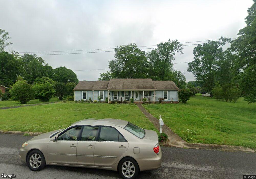
200 Oakwood Dr Shelbyville, TN 37160
Estimated Value: $300,930 - $406,000
--
Bed
2
Baths
2,154
Sq Ft
$165/Sq Ft
Est. Value
About This Home
This home is located at 200 Oakwood Dr, Shelbyville, TN 37160 and is currently estimated at $356,483, approximately $165 per square foot. 200 Oakwood Dr is a home located in Bedford County with nearby schools including East Side Elementary School, Harris Middle School, and Christian Chapel Academy.
Ownership History
Date
Name
Owned For
Owner Type
Purchase Details
Closed on
Jul 27, 2001
Sold by
Cheshire Josephine P
Bought by
Cheshire Deborah L
Current Estimated Value
Purchase Details
Closed on
Sep 11, 2000
Sold by
Fleming Joseph S
Bought by
Cheshire Josephine
Purchase Details
Closed on
May 13, 1996
Sold by
Smotherman Johnny D
Bought by
Richardson Ryan
Purchase Details
Closed on
Apr 3, 1991
Bought by
Smotherman Johnny D
Purchase Details
Closed on
Jan 1, 1986
Bought by
Smotherman Johnny D and Smotherman Brenda M
Create a Home Valuation Report for This Property
The Home Valuation Report is an in-depth analysis detailing your home's value as well as a comparison with similar homes in the area
Home Values in the Area
Average Home Value in this Area
Purchase History
| Date | Buyer | Sale Price | Title Company |
|---|---|---|---|
| Cheshire Deborah L | -- | -- | |
| Cheshire Josephine | $125,000 | -- | |
| Richardson Ryan | $105,000 | -- | |
| Smotherman Johnny D | -- | -- | |
| Smotherman Johnny D | $77,500 | -- |
Source: Public Records
Tax History Compared to Growth
Tax History
| Year | Tax Paid | Tax Assessment Tax Assessment Total Assessment is a certain percentage of the fair market value that is determined by local assessors to be the total taxable value of land and additions on the property. | Land | Improvement |
|---|---|---|---|---|
| 2025 | -- | $51,475 | $0 | $0 |
| 2024 | -- | $51,475 | $10,025 | $41,450 |
| 2023 | $1,959 | $51,475 | $10,025 | $41,450 |
| 2022 | $2,015 | $51,475 | $10,025 | $41,450 |
| 2021 | $1,830 | $51,475 | $10,025 | $41,450 |
| 2020 | $1,644 | $51,475 | $10,025 | $41,450 |
| 2019 | $1,644 | $37,100 | $6,075 | $31,025 |
| 2018 | $1,607 | $37,100 | $6,075 | $31,025 |
| 2017 | $1,607 | $37,100 | $6,075 | $31,025 |
| 2016 | $1,592 | $37,100 | $6,075 | $31,025 |
| 2015 | $1,592 | $37,100 | $6,075 | $31,025 |
| 2014 | $1,407 | $35,897 | $0 | $0 |
Source: Public Records
Map
Nearby Homes
- 1615 Elevation ABC Plan at Wheatfield
- 1567 Elevation ABC Plan at Wheatfield
- 225 Republic St
- 227 Republic St
- 119 Millet St
- 1030 Union St
- 232 Republic St
- 226 Republic St
- 228 Republic St
- 122 Laurelwood Dr
- 407 Dow Dr
- 118 Millet St
- 229 Millet St
- 223 Megan Cir
- 309 Honeysuckle Ln
- 402 Rose Ln
- 101 Briar Patch Dr
- 410 Dover St
- 603 Tines Dr
- 111 Parker Rd
- 100 Oakwood Dr
- 202 Oakwood Dr
- 103 Ashwood Dr
- 402 Cloverdale Rd
- 201 Oakwood Dr
- 105 Ashwood Dr
- 400 Cloverdale Rd
- 203 Oakwood Dr
- 103 Oakwood Dr
- 500 Cloverdale Rd
- 405 Cloverdale Rd
- 502 Foxhall Dr
- 407 Cloverdale Rd
- 503 Foxhall Dr
- 403 Cloverdale Rd
- 106 Ashwood Dr
- 104 Ashwood Dr
- 108 Ashwood Dr
- 401 Cloverdale Rd
- 502 Cloverdale Rd