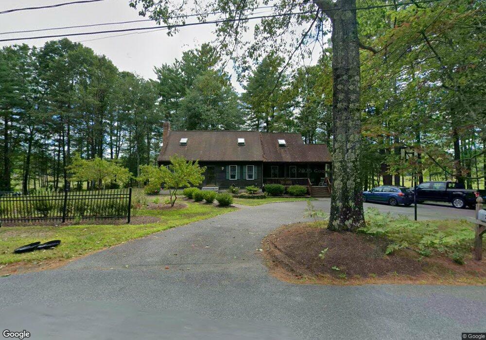
200 Old Turnpike Rd Unit 1,1 West Townsend, MA 01474
Estimated Value: $544,000 - $660,000
3
Beds
2
Baths
2,014
Sq Ft
$299/Sq Ft
Est. Value
About This Home
This home is located at 200 Old Turnpike Rd Unit 1,1, West Townsend, MA 01474 and is currently estimated at $601,714, approximately $298 per square foot. 200 Old Turnpike Rd Unit 1,1 is a home located in Middlesex County with nearby schools including North Middlesex Regional High School.
Ownership History
Date
Name
Owned For
Owner Type
Purchase Details
Closed on
May 9, 2022
Sold by
Stevens Craig M and Stevens Kelly A
Bought by
Stevens Ft
Current Estimated Value
Purchase Details
Closed on
Sep 14, 1992
Sold by
Lelievre Raymond J
Bought by
Norris David K and Norris Susan B
Create a Home Valuation Report for This Property
The Home Valuation Report is an in-depth analysis detailing your home's value as well as a comparison with similar homes in the area
Home Values in the Area
Average Home Value in this Area
Purchase History
| Date | Buyer | Sale Price | Title Company |
|---|---|---|---|
| Stevens Ft | -- | None Available | |
| Norris David K | $131,000 | -- |
Source: Public Records
Mortgage History
| Date | Status | Borrower | Loan Amount |
|---|---|---|---|
| Previous Owner | Norris David K | $233,400 | |
| Previous Owner | Norris David K | $121,000 | |
| Previous Owner | Norris David K | $14,200 |
Source: Public Records
Tax History Compared to Growth
Tax History
| Year | Tax Paid | Tax Assessment Tax Assessment Total Assessment is a certain percentage of the fair market value that is determined by local assessors to be the total taxable value of land and additions on the property. | Land | Improvement |
|---|---|---|---|---|
| 2025 | $7,225 | $497,600 | $107,100 | $390,500 |
| 2024 | $7,025 | $487,500 | $107,100 | $380,400 |
| 2023 | $6,949 | $455,400 | $94,100 | $361,300 |
| 2022 | $6,782 | $385,100 | $82,100 | $303,000 |
| 2021 | $6,597 | $359,900 | $82,400 | $277,500 |
| 2020 | $6,323 | $323,900 | $71,800 | $252,100 |
| 2019 | $6,023 | $311,600 | $71,800 | $239,800 |
| 2018 | $5,750 | $283,800 | $67,300 | $216,500 |
| 2017 | $5,374 | $273,200 | $69,000 | $204,200 |
| 2016 | $5,142 | $259,700 | $69,000 | $190,700 |
| 2015 | $4,957 | $259,400 | $76,000 | $183,400 |
| 2014 | $4,728 | $241,600 | $72,900 | $168,700 |
Source: Public Records
Map
Nearby Homes
- 18 Bridle Path
- 11 Fox Run
- 53 W Meadow Rd
- 1235 Townsend Rd
- 1275 Valley Rd
- 86 W Elm Lunenburg Rd Blood Rd
- 114 Blood Rd
- 91 Lunenburg Rd
- 0 Davis Rd
- 20 Bayberry Hill Rd
- 1 Depot Street Extension Unit 2
- 1 Depot Street Extension Unit 5
- 1 Depot Street Extension Unit 3
- 1 Depot Street Extension Unit 4
- 10 Stearns Ave
- 637 Mason Rd
- 0 Brookline St
- 531 Mason Rd
- 30 Bailey Rd
- 74 Wright Rd
- 200 Old Turnpike Rd
- 160 Old Turnpike Rd
- 204 Old Turnpike Rd
- 128 Old Turnpike Rd
- 208 Old Turnpike Rd
- 83 Mason Rd
- 12 Bridle Path
- 126 Old Turnpike Rd
- 212 Old Turnpike Rd
- 212 Old Turnpike Rd Unit 1
- 101 Mason Rd
- 101 Mason Rd
- 4 Briar Way
- 103 Mason Rd
- 3 Briar Way
- 18 Bridle Path
- 216 Old Turnpike Rd
- 2 Briar Way
- 16 Bridle Path
- 77 Mason Rd