Estimated Value: $289,900 - $414,000
4
Beds
2
Baths
1,596
Sq Ft
$205/Sq Ft
Est. Value
About This Home
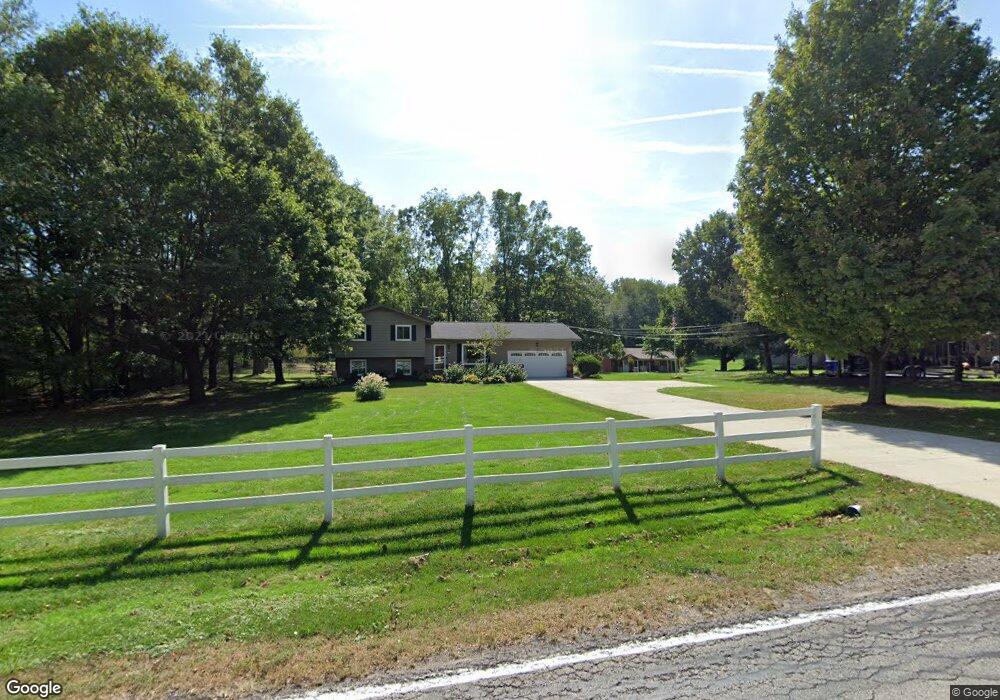
This home is located at 200 Spell Rd, Kent, OH 44240 and is currently estimated at $327,475, approximately $205 per square foot. 200 Spell Rd is a home located in Portage County with nearby schools including Stow-Munroe Falls High School, St Patrick Elementary School, and Walsh Jesuit High School.
Ownership History
Date
Name
Owned For
Owner Type
Purchase Details
Closed on
May 1, 2000
Sold by
Wingard Kevin P and Soucek Mark D
Bought by
Ciccozzi Joseph B and Ciccozzi Sandra K
Current Estimated Value
Home Financials for this Owner
Home Financials are based on the most recent Mortgage that was taken out on this home.
Original Mortgage
$158,000
Outstanding Balance
$54,545
Interest Rate
8.13%
Estimated Equity
$272,930
Purchase Details
Closed on
Feb 7, 2000
Sold by
American General Finance Inc
Bought by
Wingard Kevin P and Soucek Mark D
Purchase Details
Closed on
Nov 22, 1999
Sold by
Stout Teresa A
Bought by
American General Finance Inc
Purchase Details
Closed on
Sep 30, 1993
Bought by
Stout Teresa A
Create a Home Valuation Report for This Property
The Home Valuation Report is an in-depth analysis detailing your home's value as well as a comparison with similar homes in the area
Home Values in the Area
Average Home Value in this Area
Purchase History
| Date | Buyer | Sale Price | Title Company |
|---|---|---|---|
| Ciccozzi Joseph B | $179,500 | Buckeye Reserve Title Agency | |
| Wingard Kevin P | $126,000 | -- | |
| American General Finance Inc | $100,000 | -- | |
| Stout Teresa A | $126,000 | -- |
Source: Public Records
Mortgage History
| Date | Status | Borrower | Loan Amount |
|---|---|---|---|
| Open | Ciccozzi Joseph B | $158,000 |
Source: Public Records
Tax History
| Year | Tax Paid | Tax Assessment Tax Assessment Total Assessment is a certain percentage of the fair market value that is determined by local assessors to be the total taxable value of land and additions on the property. | Land | Improvement |
|---|---|---|---|---|
| 2024 | $4,446 | $85,120 | $14,490 | $70,630 |
| 2023 | $3,451 | $62,900 | $14,490 | $48,410 |
| 2022 | $3,749 | $62,900 | $14,490 | $48,410 |
| 2021 | $3,310 | $62,900 | $14,490 | $48,410 |
| 2020 | $3,061 | $56,950 | $14,490 | $42,460 |
| 2019 | $3,173 | $56,950 | $14,490 | $42,460 |
| 2017 | $2,858 | $52,850 | $14,490 | $38,360 |
| 2016 | $2,956 | $52,850 | $14,490 | $38,360 |
Source: Public Records
Map
Nearby Homes
- 76 Wanda Ct
- 5361 Diana Lynn Dr
- 7153 Hudson Rd
- 1430 Sunset Way Blvd
- 2908 Wexford Blvd
- 4638 Dresher Trail
- 4932 Friar Rd Unit A
- 4916 Friar Rd Unit B
- 131 Wanda Ct
- 4556 Fishcreek Rd
- 4399-4403 Cherryhurst Dr
- 976 Kevin Dr
- 211 Mckinney Blvd
- 4909 Fishcreek Rd
- 891 Stonewater Dr Unit 43
- 4846 Garnet Cir
- 3313 Crown Pointe Dr
- 2221 Crockett Cir
- 884 Highridge Ln
- 2188 Duxbury
Your Personal Tour Guide
Ask me questions while you tour the home.