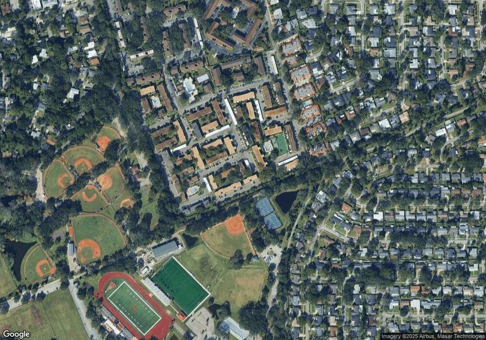
200 St Andrews Blvd Unit 3403 Winter Park, FL 32792
Estimated Value: $153,000 - $183,000
1
Bed
1
Bath
1,670
Sq Ft
$99/Sq Ft
Est. Value
About This Home
This home is located at 200 St Andrews Blvd Unit 3403, Winter Park, FL 32792 and is currently estimated at $165,499, approximately $99 per square foot. 200 St Andrews Blvd Unit 3403 is a home located in Orange County with nearby schools including Brookshire Elementary, Glenridge Middle, and Winter Park High.
Ownership History
Date
Name
Owned For
Owner Type
Purchase Details
Closed on
Mar 7, 2019
Sold by
Bowen Audrey
Bought by
Bowen Audrey and The Audrey Bowen Trust
Current Estimated Value
Purchase Details
Closed on
Sep 28, 2006
Sold by
Foster Jason F and Foster Helen G
Bought by
Bowen Winslade and Bowen Audrey
Home Financials for this Owner
Home Financials are based on the most recent Mortgage that was taken out on this home.
Original Mortgage
$95,920
Outstanding Balance
$40,953
Interest Rate
1.62%
Mortgage Type
Negative Amortization
Estimated Equity
$124,546
Purchase Details
Closed on
Mar 27, 2003
Sold by
Upright Jason T and Barnett Sarah A
Bought by
Foster Jason F and Foster Helen G
Home Financials for this Owner
Home Financials are based on the most recent Mortgage that was taken out on this home.
Original Mortgage
$71,150
Interest Rate
5.82%
Mortgage Type
Purchase Money Mortgage
Create a Home Valuation Report for This Property
The Home Valuation Report is an in-depth analysis detailing your home's value as well as a comparison with similar homes in the area
Home Values in the Area
Average Home Value in this Area
Purchase History
| Date | Buyer | Sale Price | Title Company |
|---|---|---|---|
| Bowen Audrey | -- | Attorney | |
| Bowen Winslade | $119,900 | Leading Edge Title Partners | |
| Foster Jason F | $74,900 | First American Title Ins Co |
Source: Public Records
Mortgage History
| Date | Status | Borrower | Loan Amount |
|---|---|---|---|
| Open | Bowen Winslade | $95,920 | |
| Previous Owner | Foster Jason F | $71,150 |
Source: Public Records
Tax History Compared to Growth
Tax History
| Year | Tax Paid | Tax Assessment Tax Assessment Total Assessment is a certain percentage of the fair market value that is determined by local assessors to be the total taxable value of land and additions on the property. | Land | Improvement |
|---|---|---|---|---|
| 2025 | $2,287 | $144,719 | -- | -- |
| 2024 | $2,079 | $144,719 | -- | -- |
| 2023 | $2,079 | $142,000 | $28,400 | $113,600 |
| 2022 | $1,760 | $121,100 | $24,220 | $96,880 |
| 2021 | $1,596 | $104,400 | $20,880 | $83,520 |
| 2020 | $1,452 | $100,200 | $20,040 | $80,160 |
| 2019 | $1,399 | $91,000 | $18,200 | $72,800 |
| 2018 | $1,279 | $81,000 | $16,200 | $64,800 |
| 2017 | $1,165 | $71,800 | $14,360 | $57,440 |
| 2016 | $1,107 | $71,100 | $14,220 | $56,880 |
| 2015 | $1,022 | $62,600 | $12,520 | $50,080 |
| 2014 | $941 | $56,300 | $11,260 | $45,040 |
Source: Public Records
Map
Nearby Homes
- 200 Saint Andrews Blvd Unit 101
- 200 Saint Andrews Blvd Unit 2206
- 200 Saint Andrews Blvd Unit 3002
- 200 Saint Andrews Blvd Unit 2306
- 200 Saint Andrews Blvd Unit 1004
- 200 St Andrews Blvd Unit 5
- 200 St Andrews Blvd Unit 601
- 200 St Andrews Blvd Unit 512
- 2708 Lion Heart Rd
- 2648 Amsden Rd
- 2238 Hawick Ln
- 346 Elkhorn Ct
- 2831 Lion Heart Rd
- 2844 Scarlet Rd
- 2330 Coldstream Dr
- 101 S Ranger Blvd
- 2627 Ambergate Rd
- 2411 Gallery View Dr Unit 5
- 2860 Sheriff Way
- 2485 Middleton Ave
- 200 St Andrews Blvd Unit 4
- 200 St Andrews Blvd Unit 605
- 200 St Andrews Blvd Unit 315
- 200 St Andrews Blvd
- 200 St Andrews Blvd Unit 607
- 200 St Andrews Blvd Unit 2206
- 200 St Andrews Blvd Unit 2207
- 200 St Andrews Blvd Unit 2005
- 200 St Andrews Blvd Unit 2705
- 200 St Andrews Blvd Unit 3503
- 200 St Andrews Blvd Unit 1906
- 200 St Andrews Blvd Unit 3307
- 200 St Andrews Blvd Unit 2702
- 200 St Andrews Blvd Unit 506
- 200 St Andrews Blvd Unit 2610
- 200 St Andrews Blvd Unit 2204
- 200 St Andrews Blvd Unit 2209
- 200 St Andrews Blvd Unit 3609
- 200 St Andrews Blvd Unit 3206
- 200 St Andrews Blvd Unit 3605
