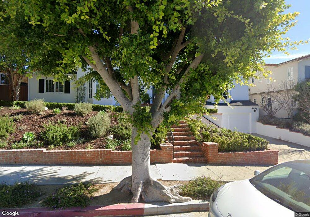
200 Tavistock Ave Los Angeles, CA 90049
Westwood NeighborhoodEstimated Value: $3,913,005 - $4,768,000
3
Beds
4
Baths
4,021
Sq Ft
$1,054/Sq Ft
Est. Value
About This Home
This home is located at 200 Tavistock Ave, Los Angeles, CA 90049 and is currently estimated at $4,236,501, approximately $1,053 per square foot. 200 Tavistock Ave is a home located in Los Angeles County with nearby schools including Warner Avenue Elementary, Community Magnet Charter Elementary, and Ralph Waldo Emerson Community Charter Middle School.
Ownership History
Date
Name
Owned For
Owner Type
Purchase Details
Closed on
Jul 24, 2002
Sold by
Cunningham Patricia A and The Elizabeth B Ader 1980 Trus
Bought by
Siegel Marc D
Current Estimated Value
Home Financials for this Owner
Home Financials are based on the most recent Mortgage that was taken out on this home.
Original Mortgage
$909,900
Outstanding Balance
$345,576
Interest Rate
5.25%
Estimated Equity
$3,890,925
Purchase Details
Closed on
Oct 15, 1997
Sold by
Ader Trust Ader Elizabeth B Co Trs Elizabeth and Cunningham Patricia
Bought by
Ader Elizabeth B
Create a Home Valuation Report for This Property
The Home Valuation Report is an in-depth analysis detailing your home's value as well as a comparison with similar homes in the area
Home Values in the Area
Average Home Value in this Area
Purchase History
| Date | Buyer | Sale Price | Title Company |
|---|---|---|---|
| Siegel Marc D | -- | Equity Title | |
| Ader Elizabeth B | -- | -- |
Source: Public Records
Mortgage History
| Date | Status | Borrower | Loan Amount |
|---|---|---|---|
| Open | Siegel Marc D | $909,900 |
Source: Public Records
Tax History Compared to Growth
Tax History
| Year | Tax Paid | Tax Assessment Tax Assessment Total Assessment is a certain percentage of the fair market value that is determined by local assessors to be the total taxable value of land and additions on the property. | Land | Improvement |
|---|---|---|---|---|
| 2025 | $24,763 | $2,062,581 | $1,303,208 | $759,373 |
| 2024 | $24,763 | $2,022,139 | $1,277,655 | $744,484 |
| 2023 | $24,285 | $1,982,490 | $1,252,603 | $729,887 |
| 2022 | $23,159 | $1,943,619 | $1,228,043 | $715,576 |
| 2021 | $22,866 | $1,905,510 | $1,203,964 | $701,546 |
| 2019 | $22,180 | $1,848,993 | $1,168,254 | $680,739 |
| 2018 | $22,070 | $1,812,740 | $1,145,348 | $667,392 |
| 2016 | $21,095 | $1,742,351 | $1,100,874 | $641,477 |
| 2015 | $20,786 | $1,716,180 | $1,084,338 | $631,842 |
| 2014 | $20,847 | $1,682,564 | $1,063,098 | $619,466 |
Source: Public Records
Map
Nearby Homes
- 11120 W Sunset Blvd
- 182 Denslow Ave
- 255 S Bentley Ave
- 220 Bentley Cir
- 141 N Bentley Ave
- 315 Veteran Ave
- 10914 Bellagio Rd
- 251 Ashdale Ave
- 10934 Bellagio Rd
- 11370 W Sunset Blvd Unit B
- 440 Veteran Ave Unit 101
- 248 N Glenroy Ave
- 253 Ashdale Place
- 390 S Sepulveda Blvd Unit 409
- 390 S Sepulveda Blvd Unit 306
- 459 S Bentley Ave
- 10950 Bellagio Rd
- 11556 Bellagio Rd
- 10835 Bellagio Rd
- 11333 Montana Ave
- 166 Barlock Ave
- 210 Tavistock Ave
- 156 Barlock Ave
- 201 S Bentley Ave
- 201 Tavistock Ave
- 209 S Bentley Ave
- 151 S Bentley Ave
- 175 Barlock Ave
- 179 Barlock Ave
- 222 Tavistock Ave
- 163 Barlock Ave
- 219 Tavistock Ave
- 205 Barlock Ave
- 217 S Bentley Ave
- 155 Barlock Ave
- 224 Barlock Ave
- 228 Tavistock Ave
- 140 Barlock Ave
- 211 Barlock Ave
- 229 Tavistock Ave