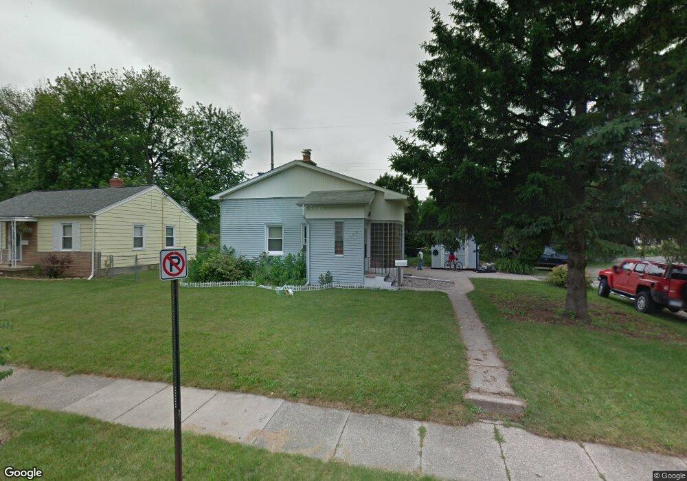
2000 Devonshire Ave Lansing, MI 48910
Clifford Park NeighborhoodEstimated Value: $135,280 - $192,000
Studio
--
Bath
1,003
Sq Ft
$161/Sq Ft
Est. Value
About This Home
This home is located at 2000 Devonshire Ave, Lansing, MI 48910 and is currently estimated at $161,820, approximately $161 per square foot. 2000 Devonshire Ave is a home located in Ingham County with nearby schools including Lyons Elementary School, Pattengill Academy, and Eastern High School.
Ownership History
Date
Name
Owned For
Owner Type
Purchase Details
Closed on
Feb 13, 2017
Sold by
Hartwick Edward F and Breier Hartwick Nicole
Bought by
Garrett Ruth I
Current Estimated Value
Home Financials for this Owner
Home Financials are based on the most recent Mortgage that was taken out on this home.
Original Mortgage
$89,351
Outstanding Balance
$73,979
Interest Rate
4.2%
Mortgage Type
FHA
Estimated Equity
$87,841
Purchase Details
Closed on
Sep 22, 2005
Sold by
Baldwin Billy and Baldwin Julie
Bought by
Hartwick Edward F
Home Financials for this Owner
Home Financials are based on the most recent Mortgage that was taken out on this home.
Original Mortgage
$89,650
Interest Rate
6.5%
Mortgage Type
Fannie Mae Freddie Mac
Purchase Details
Closed on
Sep 28, 1998
Sold by
Hart Darwin J and Kelly Anne
Bought by
Baldwin Billy Jr & Julie
Create a Home Valuation Report for This Property
The Home Valuation Report is an in-depth analysis detailing your home's value as well as a comparison with similar homes in the area
Home Values in the Area
Average Home Value in this Area
Purchase History
| Date | Buyer | Sale Price | Title Company |
|---|---|---|---|
| Garrett Ruth I | $91,000 | None Available | |
| Hartwick Edward F | $112,100 | None Available | |
| Baldwin Billy Jr & Julie | $60,500 | -- |
Source: Public Records
Mortgage History
| Date | Status | Borrower | Loan Amount |
|---|---|---|---|
| Open | Garrett Ruth I | $89,351 | |
| Previous Owner | Hartwick Edward F | $89,650 |
Source: Public Records
Tax History
| Year | Tax Paid | Tax Assessment Tax Assessment Total Assessment is a certain percentage of the fair market value that is determined by local assessors to be the total taxable value of land and additions on the property. | Land | Improvement |
|---|---|---|---|---|
| 2025 | $2,891 | $66,600 | $10,200 | $56,400 |
| 2024 | $23 | $61,000 | $10,200 | $50,800 |
| 2023 | $2,710 | $54,400 | $10,200 | $44,200 |
| 2022 | $2,444 | $47,700 | $10,300 | $37,400 |
| 2021 | $2,393 | $44,400 | $8,200 | $36,200 |
| 2020 | $2,379 | $43,000 | $8,200 | $34,800 |
| 2019 | $2,280 | $40,200 | $8,200 | $32,000 |
| 2018 | $2,137 | $35,900 | $8,200 | $27,700 |
| 2017 | $1,895 | $35,900 | $8,200 | $27,700 |
| 2016 | $2,389 | $33,800 | $8,200 | $25,600 |
| 2015 | $2,389 | $32,500 | $16,478 | $16,022 |
| 2014 | $2,389 | $31,900 | $19,224 | $12,676 |
Source: Public Records
Map
Nearby Homes
- 2215 Alpha St
- 2201 S Pennsylvania Ave
- 0 E Mount Hope Ave
- 2237 Sunnyside Ave
- 1501 Shubel Ave
- 1718 Donora St
- 2340 S Pennsylvania Ave
- 1731 Lyons Ave
- 704 Mckim Ave
- 1423 Pontiac St
- 1437 Ada St
- 616 Isbell St
- 2118 Roberts Ln
- 1535 Linval St
- 1515 Linval St
- 534 Isbell St
- 1200 S Holmes St
- 1134 S Holmes St
- 506 Christiancy St
- 1731 Herbert St
- 2006 Devonshire Ave
- 1930 Devonshire Ave
- 2001 Devonshire Ave
- 2014 Devonshire Ave
- 2001 - 2003 Devonshire Ave
- 1931 Devonshire Ave
- 2011 Devonshire Ave
- 1924 Devonshire Ave
- 1927 Devonshire Ave
- 2020 Devonshire Ave
- 2003 Devonshire Ave
- 2017 Devonshire Ave
- 2000 Harding Ave
- 1932 Harding Ave
- 2004 Harding Ave
- 1920 Devonshire Ave
- 1930 Harding Ave
- 1921 Devonshire Ave
- 2008 Harding Ave
- 2023 Devonshire Ave
Your Personal Tour Guide
Ask me questions while you tour the home.