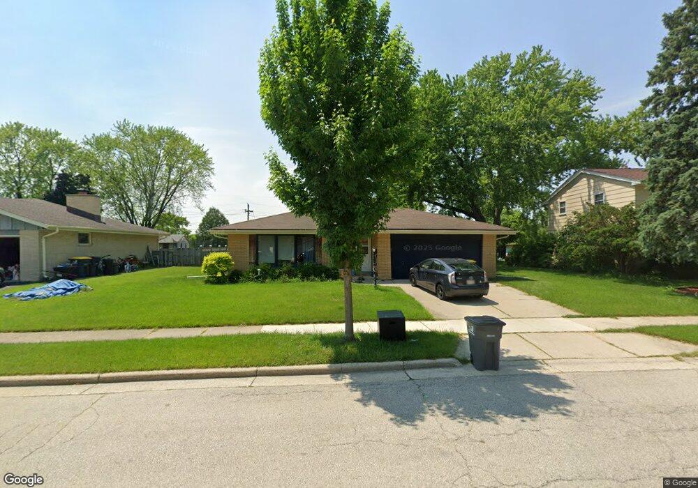
2000 Empire Dr Waukesha, WI 53186
Estimated Value: $376,000 - $402,000
3
Beds
3
Baths
2,062
Sq Ft
$189/Sq Ft
Est. Value
About This Home
This home is located at 2000 Empire Dr, Waukesha, WI 53186 and is currently estimated at $388,948, approximately $188 per square foot. 2000 Empire Dr is a home located in Waukesha County with nearby schools including John F. Miller School, Banting Elementary School, and Horning Middle School.
Ownership History
Date
Name
Owned For
Owner Type
Purchase Details
Closed on
Jul 16, 2020
Sold by
Sharbutt Nicholas
Bought by
M & Sg Property Ii Llc
Current Estimated Value
Purchase Details
Closed on
Jan 26, 2018
Sold by
Theien Marjorie C and The Marjorie C Thien Revocable
Bought by
Sharbutt Nicholas J and Sharbutt Tracey L
Home Financials for this Owner
Home Financials are based on the most recent Mortgage that was taken out on this home.
Original Mortgage
$209,407
Interest Rate
3.94%
Mortgage Type
VA
Purchase Details
Closed on
Feb 15, 2017
Sold by
Thien Marjorie C
Bought by
Thien Marjorie C and Marjorie C Thien Revocable Trust
Create a Home Valuation Report for This Property
The Home Valuation Report is an in-depth analysis detailing your home's value as well as a comparison with similar homes in the area
Home Values in the Area
Average Home Value in this Area
Purchase History
| Date | Buyer | Sale Price | Title Company |
|---|---|---|---|
| M & Sg Property Ii Llc | $251,000 | None Available | |
| Sharbutt Nicholas J | $205,000 | None Available | |
| Thien Marjorie C | -- | None Available |
Source: Public Records
Mortgage History
| Date | Status | Borrower | Loan Amount |
|---|---|---|---|
| Previous Owner | Sharbutt Nicholas J | $209,407 |
Source: Public Records
Tax History Compared to Growth
Tax History
| Year | Tax Paid | Tax Assessment Tax Assessment Total Assessment is a certain percentage of the fair market value that is determined by local assessors to be the total taxable value of land and additions on the property. | Land | Improvement |
|---|---|---|---|---|
| 2024 | $4,858 | $327,700 | $63,700 | $264,000 |
| 2023 | $4,723 | $327,700 | $63,700 | $264,000 |
| 2022 | $3,923 | $206,300 | $55,600 | $150,700 |
| 2021 | $4,011 | $206,300 | $55,600 | $150,700 |
| 2020 | $3,882 | $206,300 | $55,600 | $150,700 |
| 2019 | $3,757 | $206,300 | $55,600 | $150,700 |
| 2018 | $3,518 | $189,300 | $49,400 | $139,900 |
| 2017 | $3,959 | $189,300 | $49,400 | $139,900 |
| 2016 | $3,364 | $170,500 | $49,400 | $121,100 |
| 2015 | $3,346 | $170,500 | $49,400 | $121,100 |
| 2014 | $3,420 | $167,200 | $49,400 | $117,800 |
| 2013 | $3,420 | $167,200 | $49,400 | $117,800 |
Source: Public Records
Map
Nearby Homes
- 1112 Gertrude St
- 1116 Josephine St
- 1308 Danny St
- 1333 Niagara St
- 1415 Niagara St Unit 109
- 1471 Cleveland Ave
- 918 Niagara St
- 1729 Stardust Dr Unit B
- 1542 Whiterock Ave
- 937 E Moreland Blvd
- 2109 Melody Ln
- 1522 Pewaukee Rd
- 925 Harding Ave
- 440 Gascoigne Dr
- 1021 Aurora St
- 1103 Arcadian Ave
- 1021 Arcadian Ave
- 526 Peters Dr
- 1139 White Rock Ave
- 512 E Main St
- 2008 Empire Dr
- 1938 Empire Dr
- 1933 Cardinal Dr
- 2014 Empire Dr
- 1932 Empire Dr
- 2009 Cardinal Dr
- 2000 Cardinal Dr
- 1929 Cardinal Dr
- 1429 Empire Ct
- 2006 Cardinal Dr Unit 8
- 2015 Cardinal Dr
- 1939 Empire Dr
- 1417 Empire Ct
- 1423 Empire Ct
- 2014 Cardinal Dr
- 2014 Cardinal Dr Unit 2014
- 2014 Cardinal Dr Unit 2016
- 1926 Empire Dr
- 1424 Empire Ct
- 2020 Empire Dr