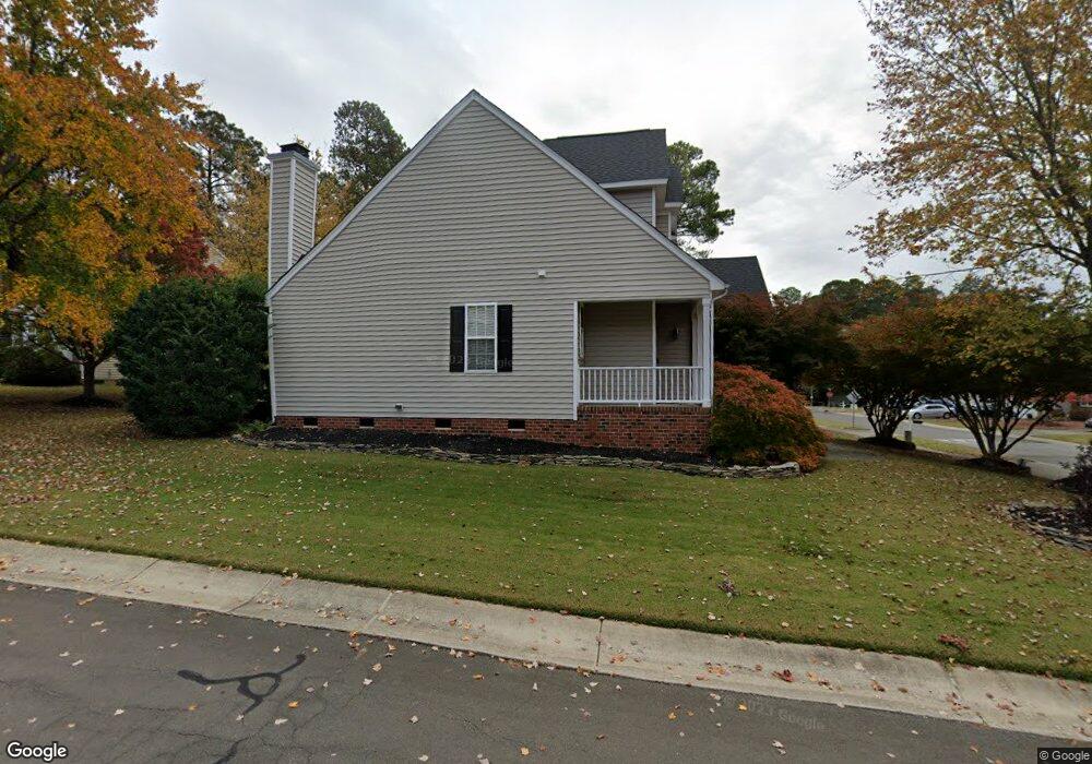
2001 Carnation Dr Durham, NC 27703
South Durham NeighborhoodEstimated Value: $467,000 - $524,000
3
Beds
3
Baths
2,342
Sq Ft
$210/Sq Ft
Est. Value
About This Home
This home is located at 2001 Carnation Dr, Durham, NC 27703 and is currently estimated at $490,903, approximately $209 per square foot. 2001 Carnation Dr is a home located in Durham County with nearby schools including Bethesda Elementary School, John W Neal Middle School, and Southern School of Energy & Sustainability.
Ownership History
Date
Name
Owned For
Owner Type
Purchase Details
Closed on
Feb 28, 2007
Sold by
Fesler Robert P
Bought by
Urrutia Ursula
Current Estimated Value
Home Financials for this Owner
Home Financials are based on the most recent Mortgage that was taken out on this home.
Original Mortgage
$184,000
Outstanding Balance
$114,924
Interest Rate
6.85%
Mortgage Type
Purchase Money Mortgage
Estimated Equity
$375,979
Purchase Details
Closed on
Sep 26, 2002
Sold by
Centex Homes
Bought by
Fesler Robert P
Home Financials for this Owner
Home Financials are based on the most recent Mortgage that was taken out on this home.
Original Mortgage
$141,000
Interest Rate
6.19%
Create a Home Valuation Report for This Property
The Home Valuation Report is an in-depth analysis detailing your home's value as well as a comparison with similar homes in the area
Home Values in the Area
Average Home Value in this Area
Purchase History
| Date | Buyer | Sale Price | Title Company |
|---|---|---|---|
| Urrutia Ursula | $230,000 | None Available | |
| Fesler Robert P | $198,500 | -- |
Source: Public Records
Mortgage History
| Date | Status | Borrower | Loan Amount |
|---|---|---|---|
| Open | Urrutia Ursula | $184,000 | |
| Closed | Urrutia Ursula | $46,000 | |
| Previous Owner | Fesler Robert P | $141,000 |
Source: Public Records
Tax History
| Year | Tax Paid | Tax Assessment Tax Assessment Total Assessment is a certain percentage of the fair market value that is determined by local assessors to be the total taxable value of land and additions on the property. | Land | Improvement |
|---|---|---|---|---|
| 2025 | $5,178 | $522,374 | $122,850 | $399,524 |
| 2024 | $3,725 | $267,044 | $52,830 | $214,214 |
| 2023 | $3,498 | $267,044 | $52,830 | $214,214 |
| 2022 | $3,418 | $267,044 | $52,830 | $214,214 |
| 2021 | $3,402 | $267,044 | $52,830 | $214,214 |
| 2020 | $3,322 | $267,044 | $52,830 | $214,214 |
| 2019 | $3,322 | $267,044 | $52,830 | $214,214 |
| 2018 | $2,978 | $219,500 | $41,090 | $178,410 |
| 2017 | $2,956 | $219,500 | $41,090 | $178,410 |
| 2016 | $2,856 | $219,500 | $41,090 | $178,410 |
| 2015 | $3,166 | $228,684 | $42,253 | $186,431 |
| 2014 | $3,166 | $228,684 | $42,253 | $186,431 |
Source: Public Records
Map
Nearby Homes
- 3309 Forest Grove Ct
- 3503 Long Ridge Rd
- 2216 Jollay St
- 1016 Hollis Cir
- 4514 Cottendale Dr
- 1251 Flyfish Ave
- 102 Kingsley Woods Dr
- 1222 Flyfish Ave
- 111 Lang St
- 909 Wood Chapel Ln
- 5024 Dragonfly Dr
- 1200 Bluewater Way
- 1812 Shiva Ct
- 12 Sameer Ct
- 19 Gandhi Dr
- 4213 Congleton Place
- 334 Westgrove Ct
- 5226 Malik Dr
- 1946 Hinesley Dr
- 1931 Hinesley Dr
- 2003 Carnation Dr
- 4804 Mistletoe Ln
- 4801 Mistletoe Ln
- 4803 Mistletoe Ln
- 2516 Oleander Dr
- 4806 Mistletoe Ln
- 2514 Oleander Dr
- 2004 Carnation Dr
- 4805 Mistletoe Ln
- 2002 Carnation Dr
- 2006 Carnation Dr
- 2008 Carnation Dr
- 1918 Carnation Dr
- 4808 Mistletoe Ln
- 2512 Oleander Dr
- 4807 Mistletoe Ln
- 1911 Carnation Dr
- 1916 Carnation Dr
- 4809 Mistletoe Ln
- 2010 Carnation Dr
Your Personal Tour Guide
Ask me questions while you tour the home.