2001 Daves Rd Morganton, GA 30560
Estimated Value: $604,000 - $992,000
--
Bed
1
Bath
2,162
Sq Ft
$350/Sq Ft
Est. Value
About This Home
This home is located at 2001 Daves Rd, Morganton, GA 30560 and is currently estimated at $756,667, approximately $349 per square foot. 2001 Daves Rd is a home with nearby schools including Fannin County High School.
Ownership History
Date
Name
Owned For
Owner Type
Purchase Details
Closed on
Sep 17, 2019
Sold by
Waters Ruth Ann
Bought by
Waters Ruth Ann and Waters Lonnie
Current Estimated Value
Home Financials for this Owner
Home Financials are based on the most recent Mortgage that was taken out on this home.
Original Mortgage
$138,000
Outstanding Balance
$120,628
Interest Rate
3.5%
Mortgage Type
New Conventional
Estimated Equity
$636,039
Purchase Details
Closed on
Nov 2, 2015
Sold by
Warren Ruth Ann
Bought by
Tipton Mitchell
Purchase Details
Closed on
Oct 30, 2015
Sold by
Taylor Bart
Bought by
Tipton Mitchell
Purchase Details
Closed on
Sep 1, 1994
Bought by
Warren Ruth Ann
Purchase Details
Closed on
Feb 6, 1985
Bought by
Warren Ann and Warren Allene
Create a Home Valuation Report for This Property
The Home Valuation Report is an in-depth analysis detailing your home's value as well as a comparison with similar homes in the area
Home Values in the Area
Average Home Value in this Area
Purchase History
| Date | Buyer | Sale Price | Title Company |
|---|---|---|---|
| Waters Ruth Ann | -- | -- | |
| Tipton Mitchell | $184,065 | -- | |
| Tipton Mitchell | -- | -- | |
| Tipton Mitchell | -- | -- | |
| Warren Ruth Ann | -- | -- | |
| Warren Ann | -- | -- |
Source: Public Records
Mortgage History
| Date | Status | Borrower | Loan Amount |
|---|---|---|---|
| Open | Waters Ruth Ann | $138,000 |
Source: Public Records
Tax History Compared to Growth
Tax History
| Year | Tax Paid | Tax Assessment Tax Assessment Total Assessment is a certain percentage of the fair market value that is determined by local assessors to be the total taxable value of land and additions on the property. | Land | Improvement |
|---|---|---|---|---|
| 2024 | $946 | $126,135 | $31,047 | $95,088 |
| 2023 | $848 | $106,142 | $31,047 | $75,095 |
| 2022 | $662 | $88,037 | $31,047 | $56,990 |
| 2021 | $629 | $68,111 | $31,047 | $37,064 |
| 2020 | $583 | $64,277 | $31,047 | $33,230 |
| 2019 | $592 | $64,277 | $31,047 | $33,230 |
| 2018 | $621 | $61,455 | $28,225 | $33,230 |
| 2017 | $1,112 | $62,843 | $28,225 | $34,618 |
| 2016 | $459 | $51,462 | $28,225 | $23,237 |
| 2015 | $690 | $108,753 | $82,450 | $26,303 |
| 2014 | $703 | $123,964 | $96,250 | $27,714 |
| 2013 | -- | $117,085 | $96,250 | $20,835 |
Source: Public Records
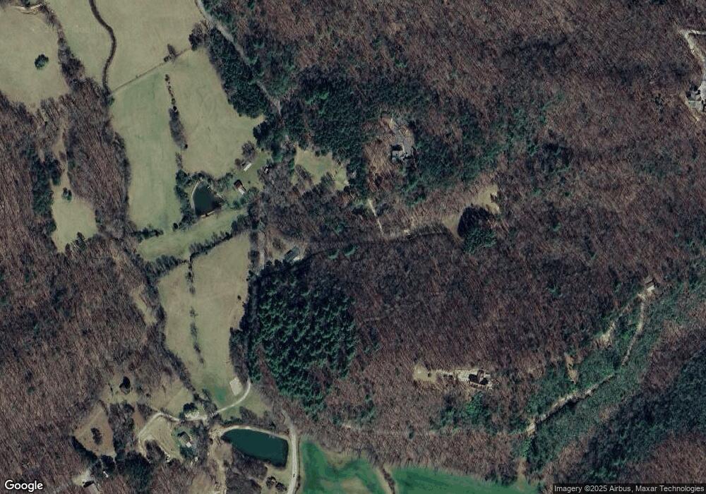
Map
Nearby Homes
- 51 Last Chance Gulch
- Lot 37 Picklesimer Mountain Rd
- Lot 4 Picklesimer Mountain Rd
- Lot 38 Picklesimer Mountain Rd
- 2722 Daves Rd
- 366 Shepherds Way
- 1.01 AC Heards Ridge
- LOT 56 Heards Ridge
- Lot 38 Shepherds Way
- 0 N Burgess Gap Rd Unit 24911808
- 0 N Burgess Gap Rd Unit 10610901
- 180 Shepherds Ridge
- 59 Bear Track Trail
- 93 Bear Track Trail
- 77 Beaver's Cove
- 455 Shepherds Walk
- 260 Huckleberry Hollow
- 74 Shepherds Trail
- 16 Enchanting Cir
- 224 Eagle Ridge
- 2035 Daves Rd
- 1.48 Daves Rd
- 1.65 Acs Daves Rd
- 0 Daves Rd Unit 298590
- 0 Daves Rd Unit 244457
- 0 Daves Rd Unit 6749924
- 0 Daves Rd Unit 8818678
- 0 Daves Rd Unit 7529364
- 0 Daves Rd Unit 8557068
- 0 Daves Rd Unit 8605598
- 0 Daves Rd Unit 8605579
- 1926 Daves Rd
- 445 Picklesimer Mountain Trail
- 445 Pickelsimer Mt Trail
- 1875 Daves Rd
- 2588 Daves Rd
- 2536 Daves Rd
- 247 Pickelsimer Rd
- 1637 Daves Rd
- 2210 Daves Rd