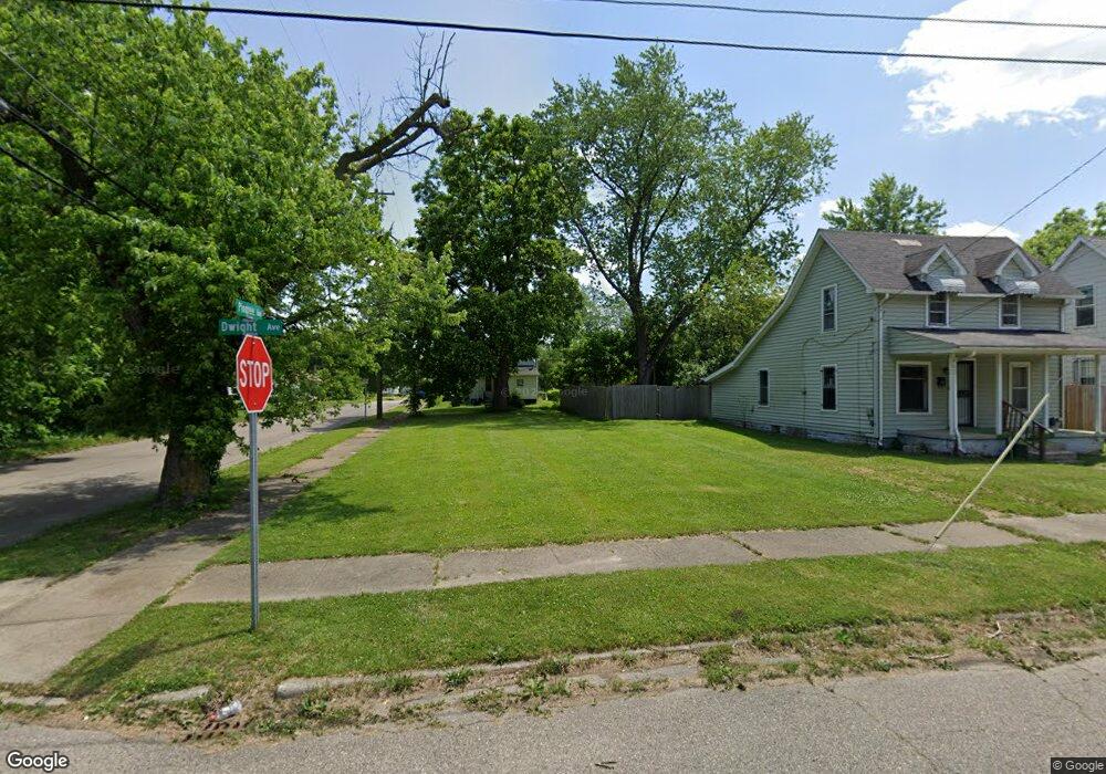
2001 Dwight Ave Flint, MI 48503
South Parks NeighborhoodEstimated Value: $54,000 - $69,000
2
Beds
1
Bath
645
Sq Ft
$95/Sq Ft
Est. Value
About This Home
This home is located at 2001 Dwight Ave, Flint, MI 48503 and is currently estimated at $61,500, approximately $95 per square foot. 2001 Dwight Ave is a home located in Genesee County with nearby schools including Freeman Elementary School, Flint Southwestern Classical Academy, and International Academy of Flint (K-12).
Ownership History
Date
Name
Owned For
Owner Type
Purchase Details
Closed on
Dec 20, 2016
Sold by
Cherry Deborah L
Bought by
Genesee County Land Bank
Current Estimated Value
Purchase Details
Closed on
Aug 10, 2006
Sold by
Tyler Antoinette
Bought by
Miller Alonzo
Purchase Details
Closed on
Jul 20, 2006
Sold by
Tyler Antoinette and Estate Of Willie Brown
Bought by
Tyler Antoinette
Purchase Details
Closed on
Jun 26, 2006
Sold by
Tyler Antoinette
Bought by
Tyler Antoinette and Estate Of Willie Brown
Create a Home Valuation Report for This Property
The Home Valuation Report is an in-depth analysis detailing your home's value as well as a comparison with similar homes in the area
Home Values in the Area
Average Home Value in this Area
Purchase History
| Date | Buyer | Sale Price | Title Company |
|---|---|---|---|
| Genesee County Land Bank | -- | None Available | |
| Miller Alonzo | -- | First American Title Ins Co | |
| Tyler Antoinette | -- | None Available | |
| Tyler Antoinette | -- | None Available |
Source: Public Records
Tax History Compared to Growth
Tax History
| Year | Tax Paid | Tax Assessment Tax Assessment Total Assessment is a certain percentage of the fair market value that is determined by local assessors to be the total taxable value of land and additions on the property. | Land | Improvement |
|---|---|---|---|---|
| 2025 | -- | $0 | $0 | $0 |
| 2024 | -- | $0 | $0 | $0 |
| 2023 | -- | $0 | $0 | $0 |
| 2022 | $0 | $0 | $0 | $0 |
| 2021 | $0 | $0 | $0 | $0 |
| 2020 | $0 | $0 | $0 | $0 |
| 2019 | $346 | $0 | $0 | $0 |
| 2018 | $221 | $0 | $0 | $0 |
| 2017 | $221 | $0 | $0 | $0 |
| 2016 | $346 | $0 | $0 | $0 |
| 2015 | $0 | $0 | $0 | $0 |
| 2014 | -- | $0 | $0 | $0 |
| 2012 | -- | $2,500 | $0 | $0 |
Source: Public Records
Map
Nearby Homes
- 2010 Crocker Ave
- 2050 Ferris Ave
- 420 Pingree Ave
- 1110 Pingree Ave
- 2029 Aitken Ave
- 2224 Crocker Ave
- 2221 Howard Ave
- 1851 Seymour Ave
- 133 E Oakley St
- 1510 S Franklin Ave
- 841 E 8th St
- 1917 Whittlesey St
- 911 E 7th St
- 1840 Mcphail St
- 517 Morley Ave
- 1814 Mcphail St
- 1517 Tacoma St
- 1511 Tacoma St
- 3218 Collingwood Pkwy
- A Avenue
- 2005 Dwight Ave
- 2007 Dwight Ave
- 2000 Stanford Ave
- 2009 Dwight Ave
- 2006 Stanford Ave
- 713 Pingree Ave
- 2010 Stanford Ave
- 2015 Dwight Ave
- 2000 Dwight Ave
- 2006 Dwight Ave
- 2008 Dwight Ave
- 2012 Stanford Ave
- 717 Pingree Ave
- 2019 Dwight Ave
- 2018 Stanford Ave
- 802 Pingree Ave
- 2021 Dwight Ave
- 804 Pingree Ave
- 2005 Stanford Ave
- 805 Pingree Ave