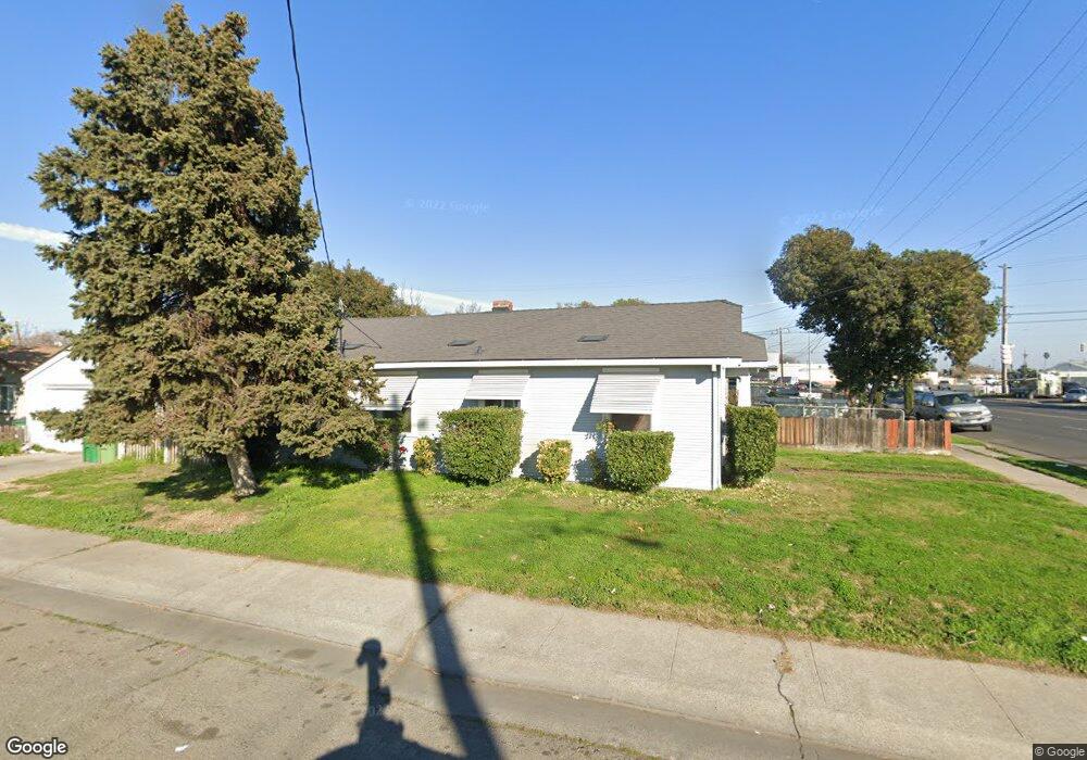
2001 E Harding Way Stockton, CA 95205
Midtown NeighborhoodEstimated Value: $141,000 - $288,000
2
Beds
1
Bath
715
Sq Ft
$341/Sq Ft
Est. Value
About This Home
This home is located at 2001 E Harding Way, Stockton, CA 95205 and is currently estimated at $243,582, approximately $340 per square foot. 2001 E Harding Way is a home located in San Joaquin County with nearby schools including Grunsky Elementary School, August Elementary School, and Harrison Elementary School.
Ownership History
Date
Name
Owned For
Owner Type
Purchase Details
Closed on
Jun 2, 2009
Sold by
Lerma Irene R and Gaytan Rachel G
Bought by
Huber Michael and Huber Tami
Current Estimated Value
Home Financials for this Owner
Home Financials are based on the most recent Mortgage that was taken out on this home.
Original Mortgage
$35,000
Outstanding Balance
$22,102
Interest Rate
4.76%
Mortgage Type
Purchase Money Mortgage
Estimated Equity
$221,480
Create a Home Valuation Report for This Property
The Home Valuation Report is an in-depth analysis detailing your home's value as well as a comparison with similar homes in the area
Home Values in the Area
Average Home Value in this Area
Purchase History
| Date | Buyer | Sale Price | Title Company |
|---|---|---|---|
| Huber Michael | $50,000 | First American Title Company |
Source: Public Records
Mortgage History
| Date | Status | Borrower | Loan Amount |
|---|---|---|---|
| Open | Huber Michael | $35,000 |
Source: Public Records
Tax History Compared to Growth
Tax History
| Year | Tax Paid | Tax Assessment Tax Assessment Total Assessment is a certain percentage of the fair market value that is determined by local assessors to be the total taxable value of land and additions on the property. | Land | Improvement |
|---|---|---|---|---|
| 2025 | $833 | $64,376 | $19,310 | $45,066 |
| 2024 | $820 | $63,115 | $18,932 | $44,183 |
| 2023 | $801 | $61,878 | $18,561 | $43,317 |
| 2022 | $775 | $60,666 | $18,198 | $42,468 |
| 2021 | $745 | $59,478 | $17,842 | $41,636 |
| 2020 | $759 | $58,870 | $17,660 | $41,210 |
| 2019 | $756 | $57,716 | $17,314 | $40,402 |
| 2018 | $742 | $56,585 | $16,975 | $39,610 |
| 2017 | $704 | $55,477 | $16,643 | $38,834 |
| 2016 | $716 | $54,390 | $16,317 | $38,073 |
| 2014 | $683 | $52,524 | $15,757 | $36,767 |
Source: Public Records
Map
Nearby Homes
- 1902 E Harding Way
- 1600 Sunnyside Ave
- 1257 Sunnyside Ave
- 1702 Sunnyside Ave
- 1620 Sycamore Ave
- 1751 Sunnyside Ave
- 1711 E Walnut St
- 1404 Williams St
- 1751 Sycamore Ave
- 1926 E Roosevelt St
- 1813 E Anita St
- 1845 E Poplar St
- 1272 N Airport Way
- 1372 Bradford St
- 1804 E Flora St
- 2327 E Acacia St
- 1818 West Ln
- 2484 Francis St
- 1916 Vicki Ln
- 1825 N Filbert St
- 2003 E Harding Way
- 1518 Hiawatha Ave
- 2005 E Harding Way
- 1526 Hiawatha Ave
- 1511 Hiawatha Ave
- 1915 E Harding Way
- 1536 Hiawatha Ave
- 1527 Hiawatha Ave
- 2004 E Harding Way
- 1535 Hiawatha Ave
- 1544 Hiawatha Ave
- 2021 E Harding Way
- 2040 E Harding Way
- 1539 Hiawatha Ave
- 1243 Hiawatha Ave
- 1275 Waterloo Rd
- 1550 Hiawatha Ave
- 1543 Hiawatha Ave
- 1506 Sunnyside Ave
- 1510 Sunnyside Ave