2001 Foster Rd Hatfield, PA 19440
Estimated Value: $506,000 - $615,000
3
Beds
2
Baths
2,076
Sq Ft
$262/Sq Ft
Est. Value
About This Home
This home is located at 2001 Foster Rd, Hatfield, PA 19440 and is currently estimated at $543,832, approximately $261 per square foot. 2001 Foster Rd is a home located in Montgomery County with nearby schools including A. M. Kulp Elementary School, Pennfield Middle School, and North Penn Senior High School.
Ownership History
Date
Name
Owned For
Owner Type
Purchase Details
Closed on
Jan 3, 2025
Sold by
Nyce Howard B and Nyce Karen V
Bought by
Nyce Karen V
Current Estimated Value
Purchase Details
Closed on
May 16, 1986
Bought by
Nyce Howard B and Nyce Karen
Create a Home Valuation Report for This Property
The Home Valuation Report is an in-depth analysis detailing your home's value as well as a comparison with similar homes in the area
Home Values in the Area
Average Home Value in this Area
Purchase History
| Date | Buyer | Sale Price | Title Company |
|---|---|---|---|
| Nyce Karen V | -- | None Listed On Document | |
| Nyce Howard B | $87,500 | -- |
Source: Public Records
Tax History Compared to Growth
Tax History
| Year | Tax Paid | Tax Assessment Tax Assessment Total Assessment is a certain percentage of the fair market value that is determined by local assessors to be the total taxable value of land and additions on the property. | Land | Improvement |
|---|---|---|---|---|
| 2025 | $6,425 | $160,480 | $48,450 | $112,030 |
| 2024 | $6,425 | $160,480 | $48,450 | $112,030 |
| 2023 | $6,150 | $160,480 | $48,450 | $112,030 |
| 2022 | $5,949 | $160,480 | $48,450 | $112,030 |
| 2021 | $5,780 | $160,480 | $48,450 | $112,030 |
| 2020 | $5,643 | $160,480 | $48,450 | $112,030 |
| 2019 | $5,549 | $160,480 | $48,450 | $112,030 |
| 2018 | $5,550 | $160,480 | $48,450 | $112,030 |
| 2017 | $5,337 | $160,480 | $48,450 | $112,030 |
| 2016 | $5,275 | $160,480 | $48,450 | $112,030 |
| 2015 | $5,064 | $160,480 | $48,450 | $112,030 |
| 2014 | $5,064 | $160,480 | $48,450 | $112,030 |
Source: Public Records
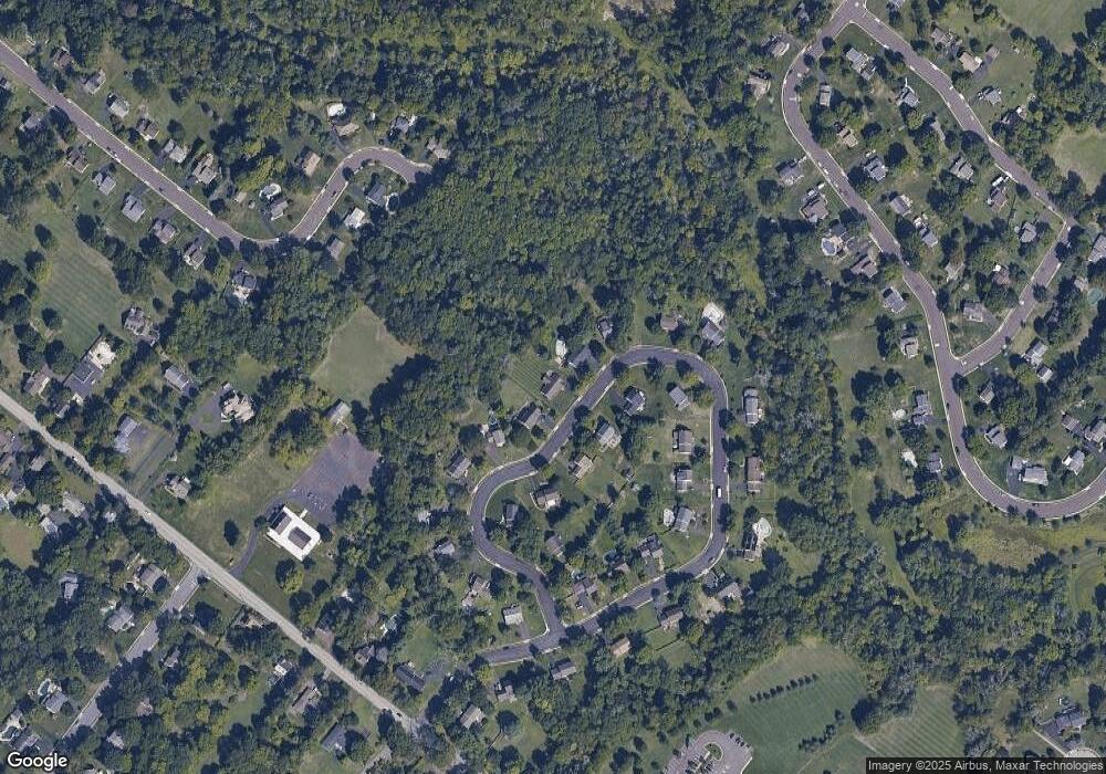
Map
Nearby Homes