2001 Parker Ln Unit 127 Austin, TX 78741
East Riverside-Oltorf NeighborhoodEstimated Value: $299,518 - $390,000
2
Beds
2
Baths
1,227
Sq Ft
$277/Sq Ft
Est. Value
About This Home
This home is located at 2001 Parker Ln Unit 127, Austin, TX 78741 and is currently estimated at $340,380, approximately $277 per square foot. 2001 Parker Ln Unit 127 is a home located in Travis County with nearby schools including Linder Elementary School, Travis Heights Elementary School, and Premier High School At Travis.
Ownership History
Date
Name
Owned For
Owner Type
Purchase Details
Closed on
Apr 15, 2014
Sold by
Harrison Annelle and The Annelle Harrison Revocable
Bought by
Hess Kristal
Current Estimated Value
Home Financials for this Owner
Home Financials are based on the most recent Mortgage that was taken out on this home.
Original Mortgage
$187,000
Outstanding Balance
$126,421
Interest Rate
4.34%
Mortgage Type
Purchase Money Mortgage
Estimated Equity
$213,959
Purchase Details
Closed on
Aug 20, 2009
Sold by
Harrison Annelle
Bought by
Harrison Annelle and The Annelle Harrison Revocable
Create a Home Valuation Report for This Property
The Home Valuation Report is an in-depth analysis detailing your home's value as well as a comparison with similar homes in the area
Home Values in the Area
Average Home Value in this Area
Purchase History
| Date | Buyer | Sale Price | Title Company |
|---|---|---|---|
| Hess Kristal | -- | None Available | |
| Harrison Annelle | -- | None Available |
Source: Public Records
Mortgage History
| Date | Status | Borrower | Loan Amount |
|---|---|---|---|
| Open | Hess Kristal | $187,000 |
Source: Public Records
Tax History Compared to Growth
Tax History
| Year | Tax Paid | Tax Assessment Tax Assessment Total Assessment is a certain percentage of the fair market value that is determined by local assessors to be the total taxable value of land and additions on the property. | Land | Improvement |
|---|---|---|---|---|
| 2025 | $5,547 | $267,368 | $53,699 | $213,669 |
| 2023 | $4,823 | $347,003 | $0 | $0 |
| 2022 | $6,230 | $315,457 | $0 | $0 |
| 2021 | $6,242 | $286,779 | $0 | $0 |
| 2020 | $5,592 | $260,708 | $26,849 | $233,859 |
| 2018 | $5,352 | $241,745 | $26,849 | $214,896 |
| 2017 | $4,955 | $222,199 | $26,849 | $214,896 |
| 2016 | $4,505 | $201,999 | $26,849 | $189,440 |
| 2015 | $2,941 | $183,635 | $26,849 | $156,786 |
| 2014 | $2,941 | $138,253 | $26,849 | $111,404 |
Source: Public Records
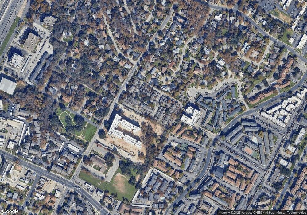
Map
Nearby Homes
- 2001 Parker Ln Unit 129
- 2001 Parker Ln Unit 107
- 2001 Parker Ln Unit 101
- 1904 Cedar Ridge Dr
- 1906 Valley Hill Cir
- 2124 Burton Dr Unit 133
- 2124 Burton Dr Unit 203
- 2124 Burton Dr Unit 164
- 2001 Breeze Hollow
- 1807 Briar Hill Dr Unit A & B
- 1840 Burton Dr Unit 172
- 1840 Burton Dr Unit 192
- 1840 Burton Dr Unit 208
- 1840 Burton Dr Unit 103
- 1840 Burton Dr Unit 155
- 1840 Burton Dr Unit 110
- 1840 Burton Dr Unit 167
- 2311 Burleson Rd Unit A B
- 1910 Woodland Ave
- 1715 Sylvan Dr
- 2001 Parker Ln Unit 140
- 2001 Parker Ln Unit 139
- 2001 Parker Ln Unit 138
- 2001 Parker Ln Unit 137
- 2001 Parker Ln Unit 136
- 2001 Parker Ln Unit 135
- 2001 Parker Ln Unit 134
- 2001 Parker Ln Unit 133
- 2001 Parker Ln Unit 132
- 2001 Parker Ln Unit 131
- 2001 Parker Ln Unit 130
- 2001 Parker Ln Unit 128
- 2001 Parker Ln Unit 126
- 2001 Parker Ln Unit 125
- 2001 Parker Ln Unit 124
- 2001 Parker Ln Unit 123
- 2001 Parker Ln Unit 122
- 2001 Parker Ln Unit 121
- 2001 Parker Ln Unit 120
- 2001 Parker Ln Unit 119