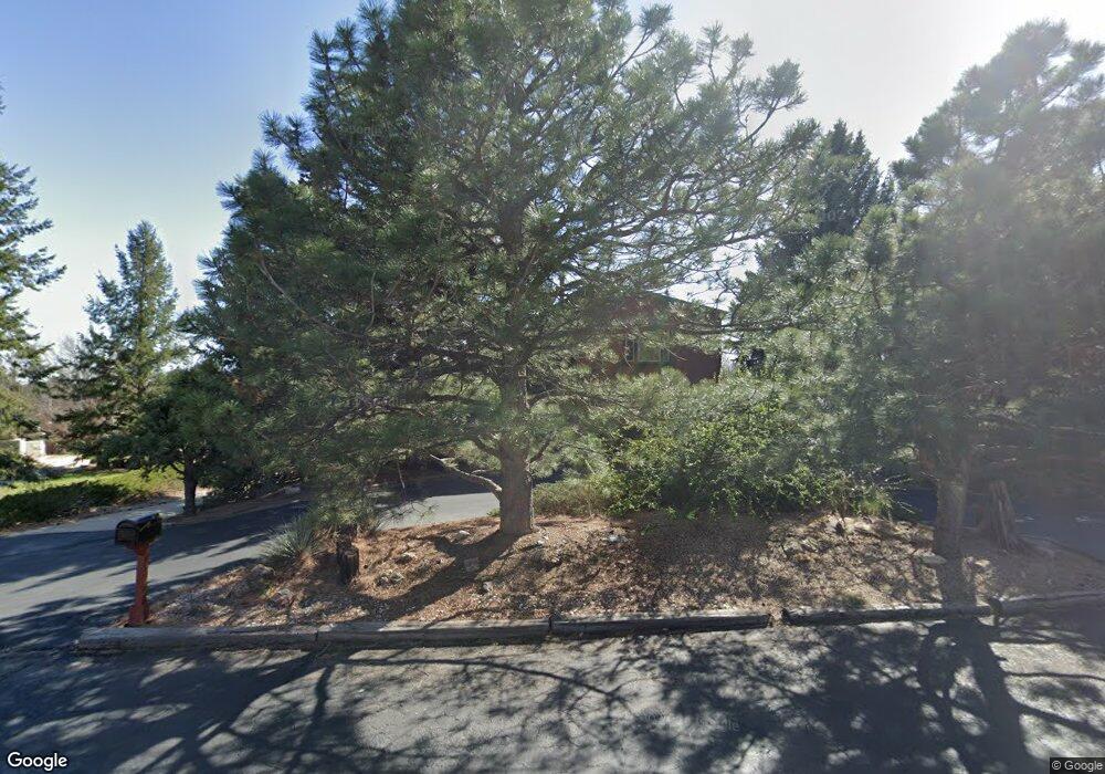
2001 Rangeview Dr Fort Collins, CO 80524
Estimated Value: $674,196 - $780,000
4
Beds
3
Baths
2,598
Sq Ft
$281/Sq Ft
Est. Value
About This Home
This home is located at 2001 Rangeview Dr, Fort Collins, CO 80524 and is currently estimated at $730,799, approximately $281 per square foot. 2001 Rangeview Dr is a home located in Larimer County with nearby schools including Tavelli Elementary School, Lincoln Middle School, and Poudre High School.
Ownership History
Date
Name
Owned For
Owner Type
Purchase Details
Closed on
Jul 19, 2002
Sold by
Naylor Linda W
Bought by
Dawson Steven Wade
Current Estimated Value
Home Financials for this Owner
Home Financials are based on the most recent Mortgage that was taken out on this home.
Original Mortgage
$204,000
Outstanding Balance
$76,675
Interest Rate
5.12%
Estimated Equity
$654,124
Purchase Details
Closed on
Feb 1, 1992
Sold by
Naylor Dennis L
Bought by
Naylor Linda W
Create a Home Valuation Report for This Property
The Home Valuation Report is an in-depth analysis detailing your home's value as well as a comparison with similar homes in the area
Purchase History
| Date | Buyer | Sale Price | Title Company |
|---|---|---|---|
| Dawson Steven Wade | $255,000 | -- | |
| Naylor Linda W | -- | -- |
Source: Public Records
Mortgage History
| Date | Status | Borrower | Loan Amount |
|---|---|---|---|
| Open | Dawson Steven Wade | $204,000 |
Source: Public Records
Tax History
| Year | Tax Paid | Tax Assessment Tax Assessment Total Assessment is a certain percentage of the fair market value that is determined by local assessors to be the total taxable value of land and additions on the property. | Land | Improvement |
|---|---|---|---|---|
| 2025 | $3,588 | $43,551 | $1,563 | $41,988 |
| 2024 | $3,416 | $47,295 | $1,675 | $45,620 |
| 2022 | $2,882 | $37,148 | $1,738 | $35,410 |
| 2021 | $2,908 | $38,217 | $1,788 | $36,429 |
| 2020 | $3,014 | $39,075 | $1,788 | $37,287 |
| 2019 | $3,028 | $39,075 | $1,788 | $37,287 |
| 2018 | $2,159 | $30,686 | $1,800 | $28,886 |
| 2017 | $2,152 | $30,686 | $1,800 | $28,886 |
| 2016 | $2,183 | $23,705 | $1,990 | $21,715 |
| 2015 | $2,167 | $23,700 | $1,990 | $21,710 |
| 2014 | $1,894 | $20,580 | $1,990 | $18,590 |
Source: Public Records
Map
Nearby Homes
- 1920 Simsbury Ct
- 2102 Chesapeake Dr
- 2126 Friar Tuck Ct
- 2150 Sherwood Forest Ct
- 1924 Adriel Ct Unit 1924
- 2303 Sunbury Ln
- 2239 Muir Ln
- 2415 Sunbury Ln
- 2037 Adriel Dr Unit 24
- 1721 Cottonwood Point Dr
- 2225 Middlebury Ln
- 1400 Hillside Dr
- 1405 Wimbledon Ct
- 2403 Thoreau Dr
- 1308 Windjammer Cove
- 1123 Forest Hills Ln
- 1212 Clark St
- 2757 Sternwheeler Dr
- 2115 Lindenmeier Rd
- 2416 Heyworth Ln
- 1820 Chesapeake Ct
- 2005 Rangeview Dr
- 1820 Westover Ct
- 1819 Westover Ct
- 1829 Chesapeake Ct
- 1911 Rangeview Dr
- 2000 Rangeview Dr
- 1816 Westover Ct
- 1811 Westover Ct
- 2009 Rangeview Dr
- 1934 Rangeview Dr
- 1817 Barrington Ct
- 1821 Chesapeake Ct
- 1808 Westover Ct
- 1813 Barrington Ct
- 1905 Rangeview Dr
- 1817 Chesapeake Ct
- 1909 Turnberry Rd
- 1807 Westover Ct
- 1926 Rangeview Dr
Your Personal Tour Guide
Ask me questions while you tour the home.