2001 Sloop Point Rd Hampstead, NC 28443
Estimated Value: $238,000 - $436,000
3
Beds
1
Bath
1,274
Sq Ft
$272/Sq Ft
Est. Value
About This Home
This home is located at 2001 Sloop Point Rd, Hampstead, NC 28443 and is currently estimated at $347,072, approximately $272 per square foot. 2001 Sloop Point Rd is a home located in Pender County with nearby schools including North Topsail Elementary School, Topsail Middle School, and Topsail High School.
Ownership History
Date
Name
Owned For
Owner Type
Purchase Details
Closed on
Jun 22, 2022
Sold by
Swan Song Properties Llc
Bought by
Dutton Steven D and Foster-Dutton Sara U
Current Estimated Value
Purchase Details
Closed on
Oct 12, 2020
Sold by
Thompson Patricia Altman
Bought by
Swan Song Properties Llc
Create a Home Valuation Report for This Property
The Home Valuation Report is an in-depth analysis detailing your home's value as well as a comparison with similar homes in the area
Home Values in the Area
Average Home Value in this Area
Purchase History
| Date | Buyer | Sale Price | Title Company |
|---|---|---|---|
| Dutton Steven D | -- | Hearne J C | |
| Swan Song Properties Llc | $100,000 | None Available |
Source: Public Records
Tax History
| Year | Tax Paid | Tax Assessment Tax Assessment Total Assessment is a certain percentage of the fair market value that is determined by local assessors to be the total taxable value of land and additions on the property. | Land | Improvement |
|---|---|---|---|---|
| 2025 | $1,639 | $308,791 | $120,300 | $188,491 |
| 2024 | $1,639 | $155,519 | $54,615 | $100,904 |
| 2023 | $1,452 | $135,338 | $54,615 | $80,723 |
| 2022 | $1,406 | $142,482 | $54,615 | $87,867 |
| 2021 | $1,406 | $142,482 | $54,615 | $87,867 |
| 2020 | $1,406 | $142,482 | $54,615 | $87,867 |
| 2019 | $1,406 | $142,482 | $54,615 | $87,867 |
| 2018 | $740 | $59,638 | $27,450 | $32,188 |
| 2017 | $740 | $59,638 | $27,450 | $32,188 |
| 2016 | $734 | $59,638 | $27,450 | $32,188 |
| 2015 | $699 | $59,638 | $27,450 | $32,188 |
| 2014 | $572 | $59,638 | $27,450 | $32,188 |
| 2013 | -- | $59,638 | $27,450 | $32,188 |
| 2012 | -- | $59,638 | $27,450 | $32,188 |
Source: Public Records
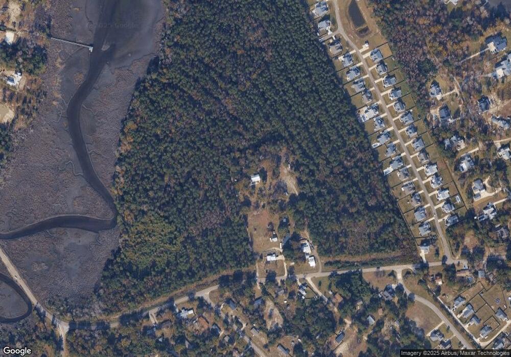
Map
Nearby Homes
- 113 Moores Landing Rd
- 166 Camden Trail
- 100 Cove Side Ln
- 120 Moores Landing Rd
- 203 Moores Landing Ct
- 400 Camden Trail
- Lot 17 Redd Banks Ln
- 38 Reston Bluff
- 13 E Cannon Cove
- 114 Old Farm Rd
- 114 Cove Side Ln
- 278 Lewis Rd
- 53 Ballast Point Rd
- Tract B Twin Oaks Dr
- Tract A Twin Oaks Dr
- 1320 Sloop Point Rd
- 1061 Crown Pointe Dr
- 858 Wildwood Cir
- 135 E High Bluff Dr
- 151 Shelley Rd
- 0 Halcyon St Unit 37693179
- 2017 Sloop Point Rd
- 2031 Sloop Point Rd
- 2071 Sloop Point Rd
- 2069 Sloop Point Rd
- 1978 Sloop Point Rd
- 2018 Sloop Point Rd
- 2042 Sloop Point Rd
- 2042 Sloop Point
- 103 Moores Landing Rd
- 191 Camden Trail
- 209 Camden Trail
- 155 Camden Trail
- 173 Camden Trail
- 225 Camden Trail
- 123 Camden Trail
- 241 Camden Trail
- 139 Camden Trail
- 101 Old Farm Rd
- 259 Camden Trail
Your Personal Tour Guide
Ask me questions while you tour the home.