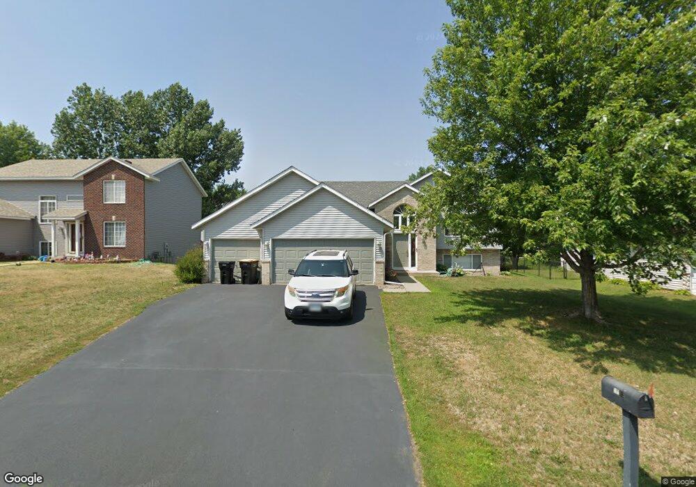
2002 Ormond Dr Shakopee, MN 55379
Estimated Value: $393,000 - $433,000
2
Beds
2
Baths
1,205
Sq Ft
$351/Sq Ft
Est. Value
About This Home
This home is located at 2002 Ormond Dr, Shakopee, MN 55379 and is currently estimated at $422,684, approximately $350 per square foot. 2002 Ormond Dr is a home located in Scott County with nearby schools including Sun Path Elementary School, Shakopee West Middle School, and Shakopee Senior High School.
Ownership History
Date
Name
Owned For
Owner Type
Purchase Details
Closed on
Jul 21, 2011
Sold by
Fose Jason S and Fose Lucresia J
Bought by
Mckenzeie Christopher
Current Estimated Value
Home Financials for this Owner
Home Financials are based on the most recent Mortgage that was taken out on this home.
Original Mortgage
$178,360
Outstanding Balance
$124,087
Interest Rate
4.75%
Mortgage Type
FHA
Estimated Equity
$298,597
Purchase Details
Closed on
Jan 24, 2003
Sold by
Mw Johnson Construction
Bought by
Fose Lucresia and Fose Jason S
Create a Home Valuation Report for This Property
The Home Valuation Report is an in-depth analysis detailing your home's value as well as a comparison with similar homes in the area
Home Values in the Area
Average Home Value in this Area
Purchase History
| Date | Buyer | Sale Price | Title Company |
|---|---|---|---|
| Mckenzeie Christopher | $183,000 | -- | |
| Fose Lucresia | $224,894 | -- |
Source: Public Records
Mortgage History
| Date | Status | Borrower | Loan Amount |
|---|---|---|---|
| Open | Mckenzeie Christopher | $178,360 |
Source: Public Records
Tax History
| Year | Tax Paid | Tax Assessment Tax Assessment Total Assessment is a certain percentage of the fair market value that is determined by local assessors to be the total taxable value of land and additions on the property. | Land | Improvement |
|---|---|---|---|---|
| 2025 | $4,050 | $389,300 | $139,600 | $249,700 |
| 2024 | $3,954 | $392,900 | $139,600 | $253,300 |
| 2023 | $4,190 | $371,700 | $134,600 | $237,100 |
| 2022 | $3,872 | $385,900 | $153,000 | $232,900 |
| 2021 | $3,492 | $310,900 | $122,000 | $188,900 |
| 2020 | $3,782 | $306,900 | $117,000 | $189,900 |
| 2019 | $3,696 | $293,100 | $104,000 | $189,100 |
| 2018 | $3,026 | $0 | $0 | $0 |
| 2016 | $2,966 | $0 | $0 | $0 |
| 2014 | -- | $0 | $0 | $0 |
Source: Public Records
Map
Nearby Homes
- 2354 Ponds Way
- 2542 Mathias Rd
- 2577 Green Ash Ave
- 2468 Valley View Rd
- 2554 Green Ash Ave
- 2578 Green Ash Ave
- 2566 Green Ash Ave
- 2542 Green Ash Ave
- 2530 Green Ash Ave
- 3432 Baneberry Cir
- 2584 Aspen Ct
- 1976 Alden Ave
- 2697 Aspen Dr
- 2624 Aspen Dr
- 2642 Aspen Dr
- 2660 Aspen Dr
- 2694 Aspen Dr
- 2397 Rock Elm Rd
- 1832 Alden Ave
- 2113 Sandhill Dr
- 1994 Ormond Dr
- 2010 Ormond Dr
- 2001 Williams St
- 2009 Williams St
- 1986 Ormond Dr
- 1993 Williams St
- 2018 Ormond Dr
- 2708 Lahoma Ct
- 2017 Williams St
- 2707 Pampas Ct
- 1985 Williams St
- 1978 Ormond Dr
- 2026 Ormond Dr
- 2722 Lahoma Ct
- 2025 Williams St
- 2705 Lahoma Ct
- 2721 Pampas Ct
- 1965 Cardinal Dr
- 2034 Ormond Dr
- 1970 Ormond Dr
Your Personal Tour Guide
Ask me questions while you tour the home.