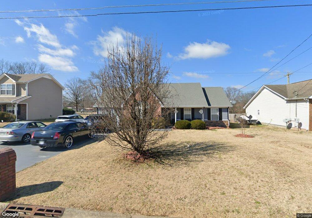
2002 Pearson Ln La Vergne, TN 37086
Estimated Value: $277,952 - $348,000
--
Bed
2
Baths
1,011
Sq Ft
$312/Sq Ft
Est. Value
About This Home
This home is located at 2002 Pearson Ln, La Vergne, TN 37086 and is currently estimated at $315,738, approximately $312 per square foot. 2002 Pearson Ln is a home located in Rutherford County with nearby schools including LaVergne Lake Elementary School, La Vergne Middle School, and Lavergne High School.
Ownership History
Date
Name
Owned For
Owner Type
Purchase Details
Closed on
Jun 4, 2004
Sold by
Greenvale Construction
Bought by
Ronnie Davis
Current Estimated Value
Home Financials for this Owner
Home Financials are based on the most recent Mortgage that was taken out on this home.
Original Mortgage
$89,110
Outstanding Balance
$44,289
Interest Rate
6.25%
Estimated Equity
$271,449
Create a Home Valuation Report for This Property
The Home Valuation Report is an in-depth analysis detailing your home's value as well as a comparison with similar homes in the area
Home Values in the Area
Average Home Value in this Area
Purchase History
| Date | Buyer | Sale Price | Title Company |
|---|---|---|---|
| Ronnie Davis | $127,300 | -- |
Source: Public Records
Mortgage History
| Date | Status | Borrower | Loan Amount |
|---|---|---|---|
| Open | Ronnie Davis | $89,110 |
Source: Public Records
Tax History Compared to Growth
Tax History
| Year | Tax Paid | Tax Assessment Tax Assessment Total Assessment is a certain percentage of the fair market value that is determined by local assessors to be the total taxable value of land and additions on the property. | Land | Improvement |
|---|---|---|---|---|
| 2025 | $1,208 | $64,400 | $13,750 | $50,650 |
| 2024 | $1,208 | $57,500 | $13,750 | $43,750 |
| 2023 | $1,079 | $57,500 | $13,750 | $43,750 |
| 2022 | $929 | $57,500 | $13,750 | $43,750 |
| 2021 | $874 | $39,375 | $10,000 | $29,375 |
| 2020 | $874 | $39,375 | $10,000 | $29,375 |
| 2019 | $874 | $39,375 | $10,000 | $29,375 |
| 2018 | $1,107 | $39,375 | $0 | $0 |
| 2017 | $997 | $27,475 | $0 | $0 |
| 2016 | $997 | $27,475 | $0 | $0 |
| 2015 | $1,004 | $27,475 | $0 | $0 |
| 2014 | $683 | $27,475 | $0 | $0 |
| 2013 | -- | $28,075 | $0 | $0 |
Source: Public Records
Map
Nearby Homes
- 1119 Moss Trail
- 613 Sycamore Ln
- 2015 Keaton Dr
- 102 Freeboard Alley
- 4004 George Buchanan
- 4237 Miranda Place
- 4007 George Buchanan
- 3038 Rg Buchanan Dr
- 152 Bluegill Ln
- 148 Bluegill Ln
- 150 Bluegill Ln
- 143 Bluegill Ln
- 149 Bluegill Ln
- ELSTON Plan at Percy Cove
- CALHOUN Plan at Percy Cove
- IRWIN Plan at Percy Cove
- EDMON Plan at Percy Cove
- BOWEN Plan at Percy Cove
- HARBOR Plan at Percy Cove
- ALAMOSA Plan at Percy Cove
- 2004 Pearson Ln Unit 98 Drive
- 2004 Pearson Ln
- 2000 Pearson Ln
- 2006 Pearson Ln
- 1002 Anna Gannon Dr
- 2005 Pearson Ln
- 319 Stones River Rd
- 2007 Pearson Ln
- 317 Stones River Rd
- 321 Stones River Rd
- 2008 Pearson Ln
- 1001 Anna Gannon Dr
- 1004 Anna Gannon Dr
- 311 Stones River Rd
- 2009 Pearson Ln
- 1003 Anna Gannon Dr
- 1117 Cricket St
- 1006 Anna Gannon Dr
- 323 Stones River Rd
- 1005 Anna Gannon Dr