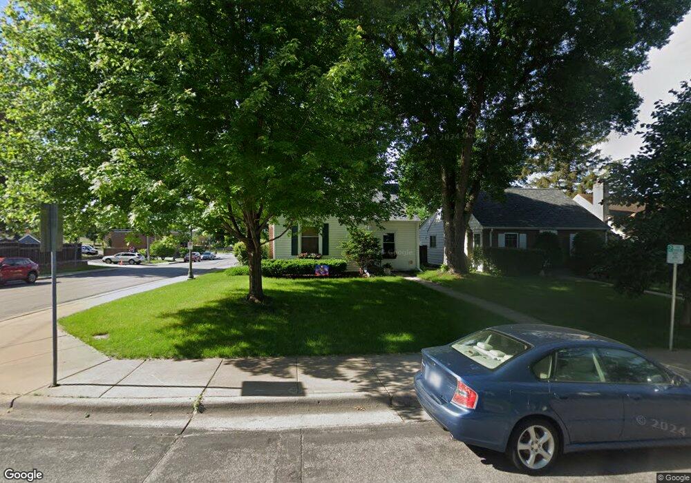
2002 Pinehurst Ave Saint Paul, MN 55116
Highland Park NeighborhoodEstimated Value: $457,000 - $492,000
4
Beds
2
Baths
1,506
Sq Ft
$315/Sq Ft
Est. Value
About This Home
This home is located at 2002 Pinehurst Ave, Saint Paul, MN 55116 and is currently estimated at $474,219, approximately $314 per square foot. 2002 Pinehurst Ave is a home located in Ramsey County with nearby schools including Horace Mann School, Highland Park Middle School, and Highland Park Senior High.
Ownership History
Date
Name
Owned For
Owner Type
Purchase Details
Closed on
Aug 20, 2020
Sold by
Mcdonald Michael P and Quinn Mcdonald Suzanne
Bought by
Schwartz Wade A and Starken Stacey
Current Estimated Value
Home Financials for this Owner
Home Financials are based on the most recent Mortgage that was taken out on this home.
Original Mortgage
$346,750
Interest Rate
2.9%
Mortgage Type
New Conventional
Purchase Details
Closed on
Nov 28, 2001
Sold by
Collins Harvey J
Bought by
Rupp Gregory D
Create a Home Valuation Report for This Property
The Home Valuation Report is an in-depth analysis detailing your home's value as well as a comparison with similar homes in the area
Home Values in the Area
Average Home Value in this Area
Purchase History
| Date | Buyer | Sale Price | Title Company |
|---|---|---|---|
| Schwartz Wade A | $365,000 | Edina Realty Title Inc | |
| Rupp Gregory D | $180,000 | -- |
Source: Public Records
Mortgage History
| Date | Status | Borrower | Loan Amount |
|---|---|---|---|
| Previous Owner | Schwartz Wade A | $346,750 |
Source: Public Records
Tax History
| Year | Tax Paid | Tax Assessment Tax Assessment Total Assessment is a certain percentage of the fair market value that is determined by local assessors to be the total taxable value of land and additions on the property. | Land | Improvement |
|---|---|---|---|---|
| 2025 | $5,874 | $432,700 | $146,200 | $286,500 |
| 2023 | $5,874 | $381,600 | $146,200 | $235,400 |
| 2022 | $5,668 | $383,800 | $146,200 | $237,600 |
| 2021 | $5,712 | $354,100 | $146,200 | $207,900 |
| 2020 | $6,154 | $363,300 | $146,200 | $217,100 |
| 2019 | $6,058 | $369,400 | $146,200 | $223,200 |
| 2018 | $5,448 | $359,800 | $146,200 | $213,600 |
| 2017 | $5,030 | $335,100 | $146,200 | $188,900 |
| 2016 | $4,926 | $0 | $0 | $0 |
| 2015 | $4,846 | $300,000 | $125,300 | $174,700 |
| 2014 | $4,476 | $0 | $0 | $0 |
Source: Public Records
Map
Nearby Homes
- 1885 Eleanor Ave
- 2077 Scheffer Ave
- 1962 Saunders Ave
- 1941 W Rome Ave
- 2127 Bayard Ave
- 996 Cleveland Ave S
- 1780 Ford Pkwy
- 1879 Montreal Ave
- 1947 Yorkshire Ct
- 1773 Scheffer Ave
- 2111 Niles Ave
- 745 Mount Curve Blvd
- 850 Mount Curve Blvd Unit H
- 875 Falls Passage W Unit C
- 1756 Saunders Ave
- 847 Sweetwater Dr
- 849 Sweetwater Dr
- 1709 Scheffer Ave
- 2028 James Ave
- 838 Woodlawn Ave
- 2006 Pinehurst Ave
- 2010 Pinehurst Ave
- 1998 Pinehurst Ave
- 2014 Pinehurst Ave
- 2018 Pinehurst Ave
- 2005 Pinehurst Ave
- 2007 Pinehurst Ave
- 2011 Pinehurst Ave
- 2022 Pinehurst Ave
- 1990 Pinehurst Ave
- 1999 Pinehurst Ave
- 2015 Pinehurst Ave
- 2026 Pinehurst Ave
- 2019 Pinehurst Ave
- 1995 Pinehurst Ave
- 1986 Pinehurst Ave
- 2023 Pinehurst Ave
- 1989 Pinehurst Ave
- 2030 Pinehurst Ave
- 2027 Pinehurst Ave
Your Personal Tour Guide
Ask me questions while you tour the home.