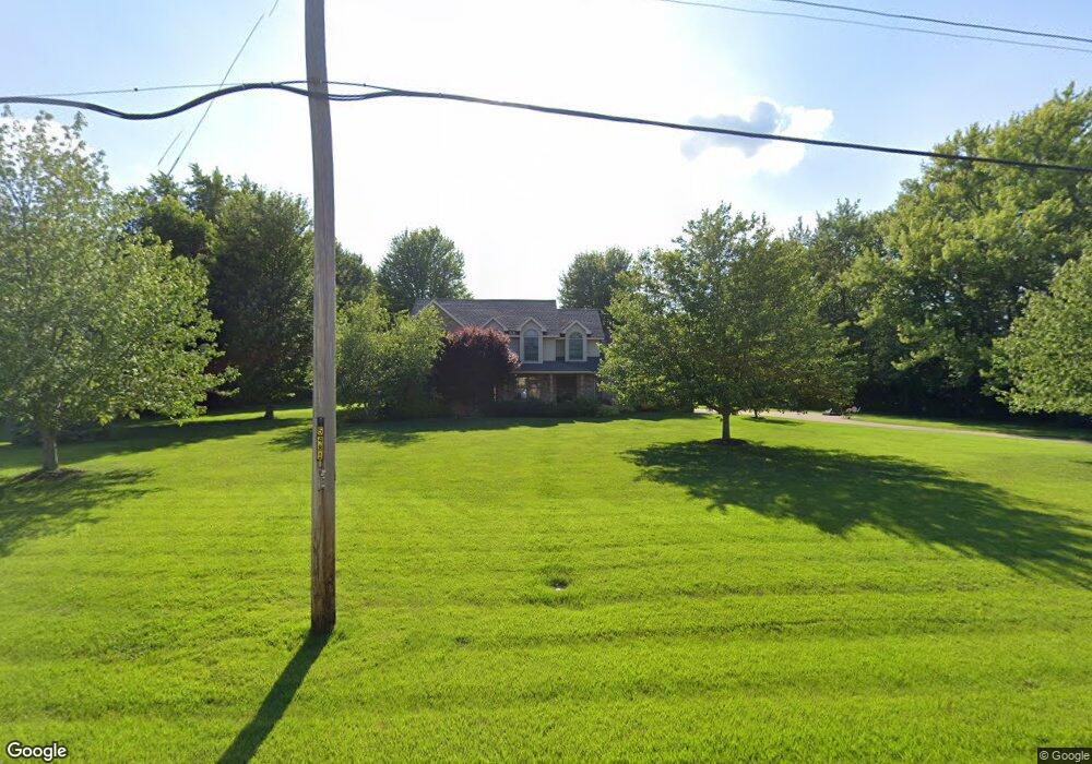
2004 Maple Ave Macomb, IL 61455
Estimated Value: $192,000 - $305,000
4
Beds
--
Bath
1,190
Sq Ft
$218/Sq Ft
Est. Value
About This Home
This home is located at 2004 Maple Ave, Macomb, IL 61455 and is currently estimated at $259,638, approximately $218 per square foot. 2004 Maple Ave is a home located in McDonough County with nearby schools including Edison Elementary School, Lincoln Elementary School, and Macomb Junior High School.
Ownership History
Date
Name
Owned For
Owner Type
Purchase Details
Closed on
Jan 18, 2017
Sold by
Taylor Margaret and Taylor Andrew W
Bought by
Taylor Margaret and Margaret Taylor Revocable Trust
Current Estimated Value
Create a Home Valuation Report for This Property
The Home Valuation Report is an in-depth analysis detailing your home's value as well as a comparison with similar homes in the area
Home Values in the Area
Average Home Value in this Area
Purchase History
| Date | Buyer | Sale Price | Title Company |
|---|---|---|---|
| Taylor Margaret | -- | None Available |
Source: Public Records
Tax History
| Year | Tax Paid | Tax Assessment Tax Assessment Total Assessment is a certain percentage of the fair market value that is determined by local assessors to be the total taxable value of land and additions on the property. | Land | Improvement |
|---|---|---|---|---|
| 2024 | $9,605 | $89,479 | $4,308 | $85,171 |
| 2023 | $9,818 | $85,757 | $4,129 | $81,628 |
| 2022 | $9,110 | $83,090 | $4,001 | $79,089 |
| 2021 | $8,740 | $83,090 | $4,001 | $79,089 |
| 2020 | $8,631 | $86,882 | $3,991 | $82,891 |
| 2019 | $8,210 | $85,182 | $4,101 | $81,081 |
| 2018 | $7,845 | $85,182 | $4,101 | $81,081 |
| 2017 | $7,663 | $85,182 | $4,101 | $81,081 |
| 2016 | $7,350 | $84,281 | $4,058 | $80,223 |
| 2015 | $7,220 | $78,656 | $3,965 | $74,691 |
| 2014 | $7,082 | $77,479 | $3,906 | $73,573 |
| 2013 | $6,845 | $77,479 | $3,906 | $73,573 |
Source: Public Records
Map
Nearby Homes
- 201 Evergreen Dr
- 413 Evergreen Dr
- 2005 S Madison St
- 1905 S Madison St
- 1 Marty Ln
- 439 E Yeiser St
- 301 E Summit St
- 828 S Mcarthur St
- 329 W Fisk St
- 648 S Randolph St
- 236 W Fisk St
- 802 Bobby Ave
- 644 S Randolph St
- 820 Jamie Ln
- 703 E Franklin St
- 214 W Mcdonough St
- 1009 S Candy Ln
- 604 S Randolph St
- 815 E Franklin St
- 521 S Johnson St
- 2106 Maple Ave
- 2000 Maple Ave
- 0000 Scotch Pine Dr
- 2013 Maple Ave
- 2011 Maple Ave
- 200 Scotch Pine Dr
- 2009 Maple Ave
- 1612 Maple Ave
- 2000 Oakmont Ct
- 2101 Maple Ave
- 2103 Maple Ave
- 2105 Maple Ave
- 1912 Oakmont Ct
- 2107 Maple Ave
- 213 Scotch Pine Dr
- 2112 Maple Ave
- 215 Scotch Pine Dr
- 2019 Oakmont Ct
- 2013 Oakmont Ct
- 212 Scotch Pine Dr
Your Personal Tour Guide
Ask me questions while you tour the home.