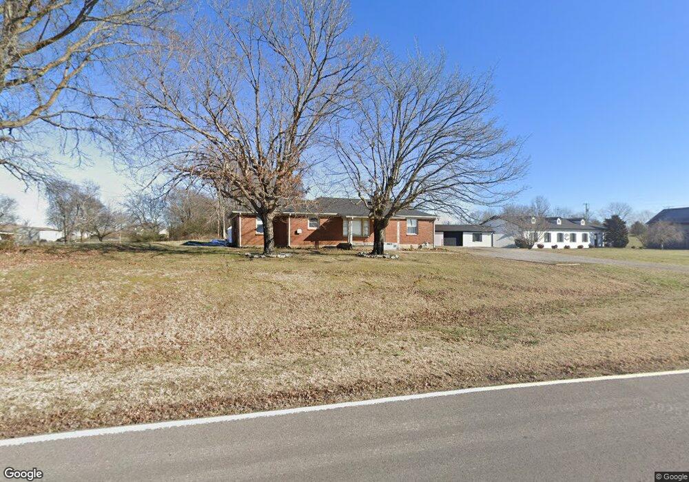
2004 New Deal Potts Rd Portland, TN 37148
Estimated Value: $265,393 - $333,000
--
Bed
1
Bath
1,426
Sq Ft
$214/Sq Ft
Est. Value
About This Home
This home is located at 2004 New Deal Potts Rd, Portland, TN 37148 and is currently estimated at $305,598, approximately $214 per square foot. 2004 New Deal Potts Rd is a home located in Sumner County with nearby schools including Portland Gateview Elementary School, Portland West Middle School, and Portland High School.
Ownership History
Date
Name
Owned For
Owner Type
Purchase Details
Closed on
Jul 18, 2001
Sold by
Starks Shirley Ann and Mares Barbara Jean
Bought by
Irvine James K
Current Estimated Value
Home Financials for this Owner
Home Financials are based on the most recent Mortgage that was taken out on this home.
Original Mortgage
$67,150
Outstanding Balance
$25,765
Interest Rate
7.08%
Estimated Equity
$279,833
Create a Home Valuation Report for This Property
The Home Valuation Report is an in-depth analysis detailing your home's value as well as a comparison with similar homes in the area
Home Values in the Area
Average Home Value in this Area
Purchase History
| Date | Buyer | Sale Price | Title Company |
|---|---|---|---|
| Irvine James K | $79,000 | -- | |
| Starks Shirley Ann | -- | -- | |
| Mares Barbara Jean | -- | -- |
Source: Public Records
Mortgage History
| Date | Status | Borrower | Loan Amount |
|---|---|---|---|
| Open | Irvine James K | $67,150 |
Source: Public Records
Tax History Compared to Growth
Tax History
| Year | Tax Paid | Tax Assessment Tax Assessment Total Assessment is a certain percentage of the fair market value that is determined by local assessors to be the total taxable value of land and additions on the property. | Land | Improvement |
|---|---|---|---|---|
| 2024 | $1,010 | $71,100 | $25,625 | $45,475 |
| 2023 | $811 | $36,000 | $7,425 | $28,575 |
| 2022 | $814 | $36,000 | $7,425 | $28,575 |
| 2021 | $814 | $36,000 | $7,425 | $28,575 |
| 2020 | $814 | $36,000 | $7,425 | $28,575 |
| 2019 | $814 | $0 | $0 | $0 |
| 2018 | $586 | $0 | $0 | $0 |
| 2017 | $586 | $0 | $0 | $0 |
| 2016 | $586 | $0 | $0 | $0 |
| 2015 | -- | $0 | $0 | $0 |
| 2014 | -- | $0 | $0 | $0 |
Source: Public Records
Map
Nearby Homes
- 284 Clubbs Rd
- 909 College St
- 844 College St
- 113 Megann Dr
- 211 Amy Dr
- 825B College St
- 1035 Gateview Dr
- 784 College St
- 432 Crafton Rd
- 104 Buena Vista Dr
- 562 N Harris Rd
- 131 N Harris Ln
- 143 N Harris Ln
- 114 Tanesha Ct
- 105 Tanesha Ct
- 110 Paigewood Dr
- 107 Willow Ct
- 1 Shaub Rd
- 2 Shaub Rd
- 0 W Harper Rd Unit RTC3031920
- 2002 New Deal Potts Rd
- 2007 New Deal Potts Rd
- 2009 New Deal Potts Rd
- 1005 Highway 52 W
- 887 College St
- 885 College St
- 881 College St
- 877 College St
- 288 Clubbs Rd
- 871 College St
- 905 College St
- 907 College St
- 865 College St
- 884 College St
- 888 College St
- 882 College St
- 952 Highway 52 W
- 900 College St
- 878 College St
- 902 College St